Estimated Value: $638,617
--
Bed
1
Bath
6,000
Sq Ft
$106/Sq Ft
Est. Value
About This Home
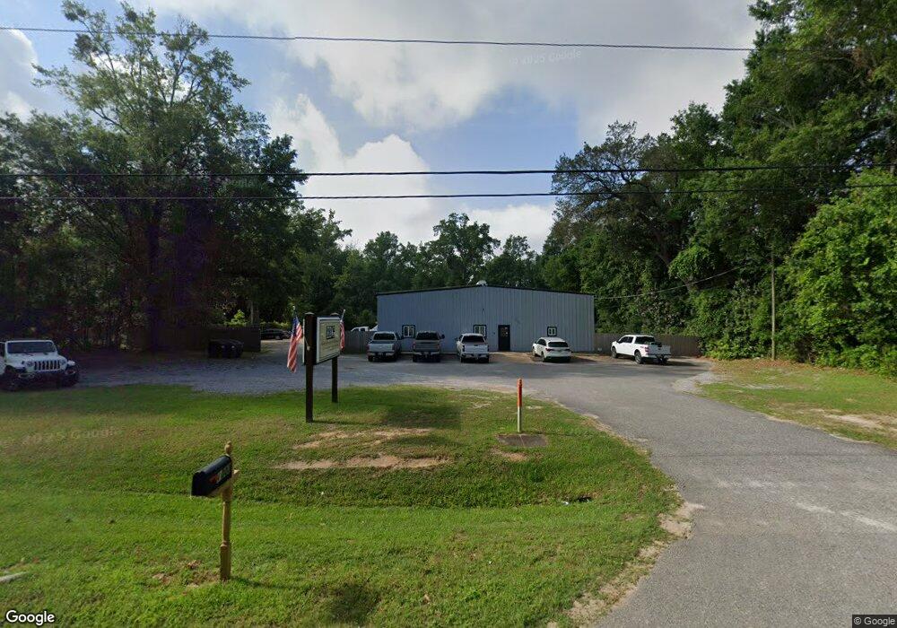
This home is located at 21106 Us Highway 98, Foley, AL 36535 and is currently estimated at $638,617, approximately $106 per square foot. 21106 Us Highway 98 is a home located in Baldwin County with nearby schools including Foley Elementary School, Foley Middle School, and Foley High School.
Ownership History
Date
Name
Owned For
Owner Type
Purchase Details
Closed on
Jan 28, 2021
Sold by
Locklear Foley Real Estate Llc
Bought by
Stovall David T
Current Estimated Value
Home Financials for this Owner
Home Financials are based on the most recent Mortgage that was taken out on this home.
Original Mortgage
$405,000
Outstanding Balance
$361,599
Interest Rate
2.6%
Mortgage Type
Commercial
Estimated Equity
$277,018
Purchase Details
Closed on
Apr 26, 2018
Sold by
Steigerwald Christie
Bought by
Locklear Foley Real Estate Llc
Create a Home Valuation Report for This Property
The Home Valuation Report is an in-depth analysis detailing your home's value as well as a comparison with similar homes in the area
Home Values in the Area
Average Home Value in this Area
Purchase History
| Date | Buyer | Sale Price | Title Company |
|---|---|---|---|
| Stovall David T | $450,000 | None Available | |
| Locklear Foley Real Estate Llc | $60,000 | None Available |
Source: Public Records
Mortgage History
| Date | Status | Borrower | Loan Amount |
|---|---|---|---|
| Open | Stovall David T | $405,000 |
Source: Public Records
Tax History Compared to Growth
Tax History
| Year | Tax Paid | Tax Assessment Tax Assessment Total Assessment is a certain percentage of the fair market value that is determined by local assessors to be the total taxable value of land and additions on the property. | Land | Improvement |
|---|---|---|---|---|
| 2024 | $3,319 | $100,580 | $45,260 | $55,320 |
| 2023 | $2,589 | $78,440 | $29,400 | $49,040 |
| 2022 | $2,317 | $70,200 | $0 | $0 |
| 2021 | $1,998 | $61,880 | $0 | $0 |
| 2020 | $1,859 | $56,320 | $0 | $0 |
| 2019 | $1,790 | $54,240 | $0 | $0 |
| 2018 | $1,765 | $53,480 | $0 | $0 |
| 2017 | $1,758 | $53,260 | $0 | $0 |
| 2016 | $1,742 | $52,780 | $0 | $0 |
| 2015 | $1,649 | $49,960 | $0 | $0 |
| 2014 | $1,649 | $49,960 | $0 | $0 |
| 2013 | -- | $49,960 | $0 | $0 |
Source: Public Records
Map
Nearby Homes
- 637 E Pedigo Ave
- 609 E Orange Ave
- 615 E Pedigo Ave
- 502 E Myrtle Ave
- 419 Verbena Loop
- 801 S Juniper St
- 0 E Azalea Ave
- Dogwood IV J Plan at Eastgate Bend
- 21740 Pine Knot Way
- 13188 Canebrake Cir
- 21741 Pine Knot Way
- Raymond IV A Plan at Eastgate Bend
- Trillium IV J Plan at Eastgate Bend
- Cornel IV J Plan at Eastgate Bend
- Cornel IV I Plan at Eastgate Bend
- 13626 Canebrake Cir
- Dogwood IV H Plan at Eastgate Bend
- 21721 Pine Knot Way
- 21651 Pine Knot Way
- Trillium IV I Plan at Eastgate Bend
- 21118 Us Highway 98
- 501 S Greentree Ln
- 321 S Pecan St
- 321 S Pecan St
- 204 S Pecan St
- 500 S Greentree Ln
- 206 S Pecan St
- 208 S Pecan St
- 112 S Pecan St
- 110 S Pecan St
- 209 Ashland Ct
- 318 S Pecan St
- 205 Ashland Ct
- 819 Ashland Dr
- 824 Ashland Dr
- 28 N Pecan St
- 211 Ashland Ct
- 828 E Laurel Ave
- 0000 Pecan St
- 12210 S Pecan St