2112 E West Salem Rd Creston, OH 44217
Estimated Value: $292,000 - $471,000
4
Beds
3
Baths
2,824
Sq Ft
$138/Sq Ft
Est. Value
About This Home
This home is located at 2112 E West Salem Rd, Creston, OH 44217 and is currently estimated at $389,906, approximately $138 per square foot. 2112 E West Salem Rd is a home located in Wayne County with nearby schools including Norwayne Elementary School, Norwayne Middle School, and Norwayne High School.
Ownership History
Date
Name
Owned For
Owner Type
Purchase Details
Closed on
Jul 22, 2004
Sold by
Machovina Christopher Anthony and Machovina Diana Lynn
Bought by
Freas Timothy J and Freas Cindy L
Current Estimated Value
Home Financials for this Owner
Home Financials are based on the most recent Mortgage that was taken out on this home.
Original Mortgage
$144,375
Interest Rate
6.4%
Mortgage Type
Unknown
Create a Home Valuation Report for This Property
The Home Valuation Report is an in-depth analysis detailing your home's value as well as a comparison with similar homes in the area
Home Values in the Area
Average Home Value in this Area
Purchase History
| Date | Buyer | Sale Price | Title Company |
|---|---|---|---|
| Freas Timothy J | $192,500 | Chicago Title Insurance Comp |
Source: Public Records
Mortgage History
| Date | Status | Borrower | Loan Amount |
|---|---|---|---|
| Closed | Freas Timothy J | $144,375 | |
| Closed | Freas Timothy J | $38,500 |
Source: Public Records
Tax History Compared to Growth
Tax History
| Year | Tax Paid | Tax Assessment Tax Assessment Total Assessment is a certain percentage of the fair market value that is determined by local assessors to be the total taxable value of land and additions on the property. | Land | Improvement |
|---|---|---|---|---|
| 2024 | $4,189 | $112,280 | $22,900 | $89,380 |
| 2023 | $4,189 | $112,280 | $22,900 | $89,380 |
| 2022 | $3,378 | $81,950 | $16,710 | $65,240 |
| 2021 | $3,408 | $81,950 | $16,710 | $65,240 |
| 2020 | $3,426 | $81,950 | $16,710 | $65,240 |
| 2019 | $2,909 | $71,720 | $15,170 | $56,550 |
| 2018 | $2,924 | $71,720 | $15,170 | $56,550 |
| 2017 | $2,826 | $71,720 | $15,170 | $56,550 |
| 2016 | $2,788 | $68,960 | $14,580 | $54,380 |
| 2015 | $2,752 | $68,960 | $14,580 | $54,380 |
| 2014 | $2,778 | $68,960 | $14,580 | $54,380 |
| 2013 | $2,871 | $69,390 | $14,210 | $55,180 |
Source: Public Records
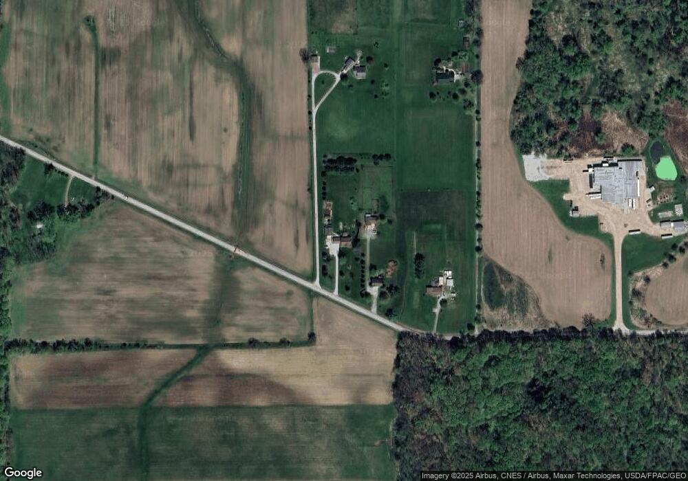
Map
Nearby Homes
- 0 Burbank St
- 747 Britton Rd
- 5913 Stuckey Rd
- 128 Burbank St
- 153 S Main St
- 124 Garden St
- 147 N Main St
- 154 Garden St
- 10368 Wooster Pike
- 00 Sterling St
- 15292 Friendsville Rd
- 137 Forest View Ct
- 9376 Daniels Rd
- 9250 Daniels Rd
- 11835 Canaan Center Rd
- 0 N Leroy Rd
- 9200 Fox Hollow Dr
- 14599 Eby Rd
- 7009 Greenwich Rd
- 5833 Greenwich Rd
- 2160 E West Salem Rd
- 2232 E West Salem Rd
- 2100 E West Salem Rd
- 2260 E West Salem Rd
- 1660 E West Salem Rd
- 1600 E West Salem Rd
- 1582 E West Salem Rd
- 2150 Britton Rd
- 2070 Britton Rd
- 2830 E West Salem Rd
- 2426 Britton Rd
- 2350 Britton Rd
- 2350 Britton Rd
- 2508 Britton Rd
- 2083 Britton Rd
- 1973 Britton Rd
- 74 Shawnee Ln
- 1718 Britton Rd
- 2037 Britton Rd
- 1931 Britton Rd