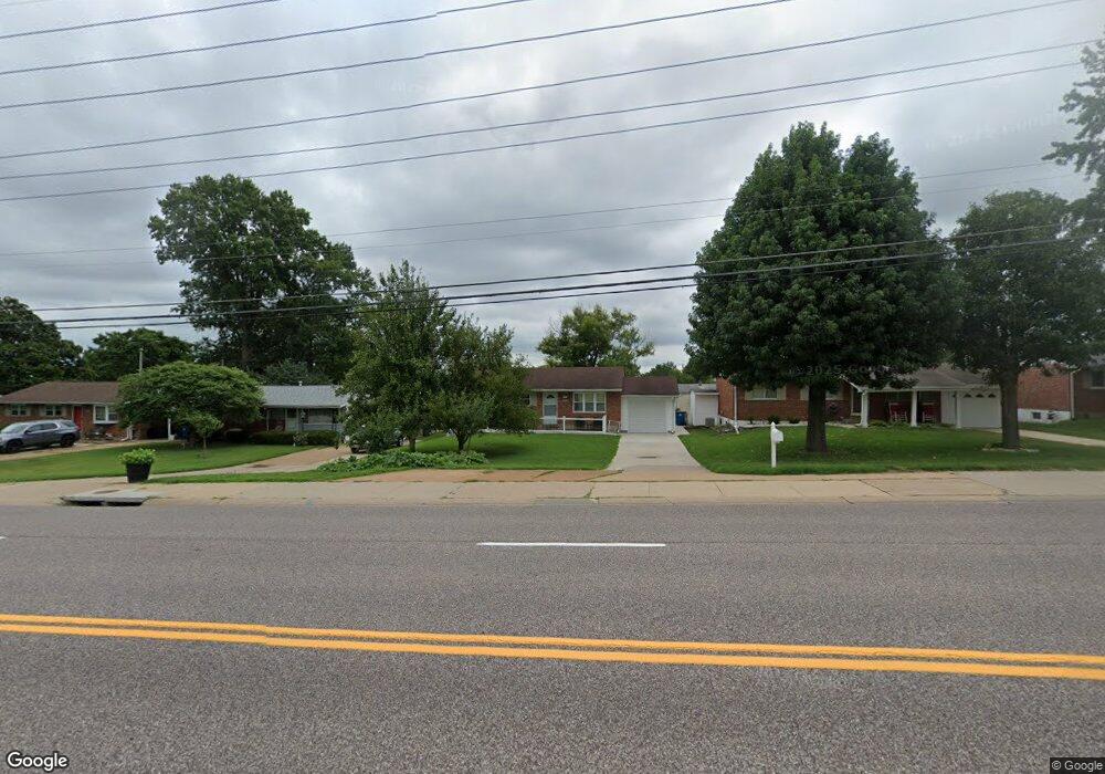
2112 Union Rd Saint Louis, MO 63125
Mehlville NeighborhoodEstimated Value: $157,000 - $211,000
3
Beds
1
Bath
950
Sq Ft
$195/Sq Ft
Est. Value
About This Home
This home is located at 2112 Union Rd, Saint Louis, MO 63125 and is currently estimated at $185,614, approximately $195 per square foot. 2112 Union Rd is a home located in St. Louis County with nearby schools including Bierbaum Elementary School, Margaret Buerkle Middle School, and Mehlville High School.
Ownership History
Date
Name
Owned For
Owner Type
Purchase Details
Closed on
Jan 30, 2004
Sold by
Roloff Robert L and Roloff Shirley J
Bought by
Jasarevic Senajid and Jasarevic Hakija
Current Estimated Value
Home Financials for this Owner
Home Financials are based on the most recent Mortgage that was taken out on this home.
Original Mortgage
$114,000
Outstanding Balance
$53,280
Interest Rate
5.78%
Mortgage Type
Purchase Money Mortgage
Estimated Equity
$132,334
Create a Home Valuation Report for This Property
The Home Valuation Report is an in-depth analysis detailing your home's value as well as a comparison with similar homes in the area
Home Values in the Area
Average Home Value in this Area
Purchase History
| Date | Buyer | Sale Price | Title Company |
|---|---|---|---|
| Jasarevic Senajid | $120,000 | -- |
Source: Public Records
Mortgage History
| Date | Status | Borrower | Loan Amount |
|---|---|---|---|
| Open | Jasarevic Senajid | $114,000 |
Source: Public Records
Tax History Compared to Growth
Tax History
| Year | Tax Paid | Tax Assessment Tax Assessment Total Assessment is a certain percentage of the fair market value that is determined by local assessors to be the total taxable value of land and additions on the property. | Land | Improvement |
|---|---|---|---|---|
| 2025 | $1,862 | $32,190 | $13,210 | $18,980 |
| 2024 | $1,862 | $27,280 | $7,920 | $19,360 |
| 2023 | $1,839 | $27,280 | $7,920 | $19,360 |
| 2022 | $1,727 | $23,770 | $7,260 | $16,510 |
| 2021 | $1,533 | $23,770 | $7,260 | $16,510 |
| 2020 | $1,585 | $23,390 | $7,920 | $15,470 |
| 2019 | $1,581 | $23,390 | $7,920 | $15,470 |
| 2018 | $1,373 | $18,300 | $6,060 | $12,240 |
| 2017 | $1,371 | $18,300 | $6,060 | $12,240 |
| 2016 | $1,226 | $15,660 | $4,010 | $11,650 |
| 2015 | $1,150 | $15,660 | $4,010 | $11,650 |
| 2014 | $1,294 | $17,490 | $5,040 | $12,450 |
Source: Public Records
Map
Nearby Homes
- 4318 Sunridge Dr Unit C
- 10212 Highbury Ln
- 2337 Birch Dr
- 2511 Senator Ct Unit B
- 4026 Melon Dr
- 10158 Chancery Ln
- 10018 Bunker Hill Dr Unit G
- 1918 Union Rd
- 1908 Union Rd Unit 1908
- 2325 Pecan Dr
- 2245 Pecan Dr
- 4259 Burnett Walk Unit 4259
- 9920 Bunker Hill Dr Unit E
- 1905 Mansard Dr Unit 1905
- 9925 Bunker Hill Dr Unit F
- 10077 N Bunker Hill Dr Unit F
- 9925 Bunker Hill Dr Unit G
- 9117 Villaridge Ct Unit E
- 9197 Villaridge Ct
- 9070 Villaridge Ct Unit 38