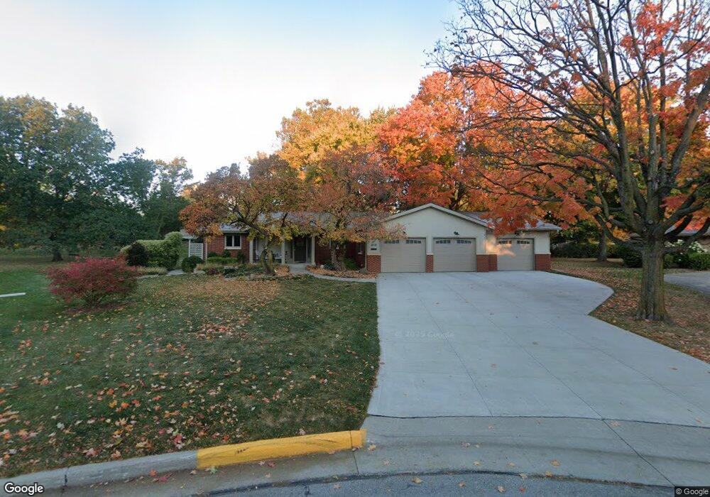
2113 Ashmore Cir Ames, IA 50014
South Campus Area NeighborhoodEstimated Value: $389,000 - $507,000
3
Beds
3
Baths
1,508
Sq Ft
$305/Sq Ft
Est. Value
About This Home
This home is located at 2113 Ashmore Cir, Ames, IA 50014 and is currently estimated at $460,237, approximately $305 per square foot. 2113 Ashmore Cir is a home located in Story County with nearby schools including Edwards Elementary School, Ames Middle School, and Ames High School.
Ownership History
Date
Name
Owned For
Owner Type
Purchase Details
Closed on
Dec 18, 2024
Sold by
Clute John R and Clute Debra L
Bought by
Clute Family Revocable Trust and Clute
Current Estimated Value
Purchase Details
Closed on
Jun 19, 2012
Sold by
Gustofson Don F and Gustofson Patricia H
Bought by
Clute John R and Clute Debra L
Home Financials for this Owner
Home Financials are based on the most recent Mortgage that was taken out on this home.
Original Mortgage
$175,750
Interest Rate
3.83%
Mortgage Type
New Conventional
Create a Home Valuation Report for This Property
The Home Valuation Report is an in-depth analysis detailing your home's value as well as a comparison with similar homes in the area
Home Values in the Area
Average Home Value in this Area
Purchase History
| Date | Buyer | Sale Price | Title Company |
|---|---|---|---|
| Clute Family Revocable Trust | -- | None Listed On Document | |
| Clute Family Revocable Trust | -- | None Listed On Document | |
| Clute John R | $185,000 | None Available |
Source: Public Records
Mortgage History
| Date | Status | Borrower | Loan Amount |
|---|---|---|---|
| Previous Owner | Clute John R | $175,750 |
Source: Public Records
Tax History Compared to Growth
Tax History
| Year | Tax Paid | Tax Assessment Tax Assessment Total Assessment is a certain percentage of the fair market value that is determined by local assessors to be the total taxable value of land and additions on the property. | Land | Improvement |
|---|---|---|---|---|
| 2025 | $6,556 | $553,000 | $107,300 | $445,700 |
| 2024 | $6,416 | $462,200 | $73,300 | $388,900 |
| 2023 | $4,782 | $462,200 | $73,300 | $388,900 |
| 2022 | $4,722 | $293,100 | $73,300 | $219,800 |
| 2021 | $4,790 | $293,100 | $73,300 | $219,800 |
| 2020 | $4,722 | $272,300 | $68,100 | $204,200 |
| 2019 | $4,722 | $272,300 | $68,100 | $204,200 |
| 2018 | $4,756 | $272,300 | $68,100 | $204,200 |
| 2017 | $4,756 | $272,300 | $68,100 | $204,200 |
| 2016 | $4,456 | $253,000 | $59,100 | $193,900 |
| 2015 | $4,456 | $253,000 | $59,100 | $193,900 |
| 2014 | $4,510 | $251,000 | $57,400 | $193,600 |
Source: Public Records
Map
Nearby Homes
- 2010 Indiangrass Ct
- 3610 University Blvd
- 2200 Hamilton Dr Unit 610
- 2200 Hamilton Dr Unit 204
- 2201 Timberland Rd
- 1101 Lincoln Way
- 317 N Russell Ave
- 2220 Suncrest Dr
- 3017 Lincoln Way
- 2308 Suncrest Dr
- 213 S Wilmoth Ave
- 2930 Green Hills Dr
- 3209 West St
- 3223 West St
- 3120 Cottontail Ln
- 2508 Cottonwood Rd
- 3422 West St
- Lot 1 Ansley Ave
- Lot 2 Ansley Ave
- Lot 5 Ansley Ave
- 2111 Ashmore Cir
- 2115 Ashmore Cir
- 1046 Gaskill Dr
- 2175 Ashmore Dr
- 2109 Ashmore Cir
- 1034 Gaskill Dr
- 2108 Ashmore Cir
- 2167 Ashmore Dr
- 2118 Greenbriar Cir
- 2114 Greenbriar Cir
- 2117 Ashmore Dr
- 2123 Ashmore Dr
- 2157 Ashmore Dr
- 2107 Ashmore Dr
- 1043 Gaskill Dr
- 2129 Ashmore Dr
- 1026 Gaskill Dr
- 2033 Ashmore Dr
- 2143 Ashmore Dr
- 2166 Ashmore Dr