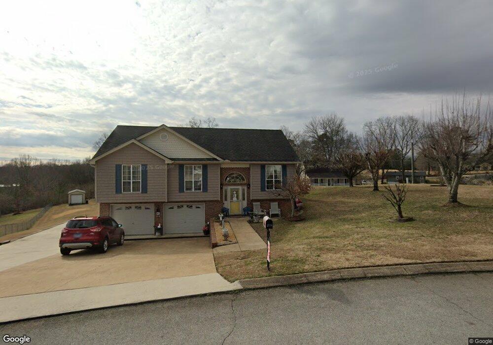
2114 N Fork Dr Soddy Daisy, TN 37379
Estimated Value: $304,000 - $323,000
3
Beds
2
Baths
1,800
Sq Ft
$172/Sq Ft
Est. Value
About This Home
This home is located at 2114 N Fork Dr, Soddy Daisy, TN 37379 and is currently estimated at $310,238, approximately $172 per square foot. 2114 N Fork Dr is a home located in Hamilton County with nearby schools including Loftis Middle School.
Ownership History
Date
Name
Owned For
Owner Type
Purchase Details
Closed on
Jul 6, 1999
Sold by
Va
Bought by
Murphy Barbara E
Current Estimated Value
Home Financials for this Owner
Home Financials are based on the most recent Mortgage that was taken out on this home.
Original Mortgage
$75,650
Outstanding Balance
$20,638
Interest Rate
7.23%
Estimated Equity
$289,600
Purchase Details
Closed on
Sep 18, 1998
Sold by
Fortune Daniel A and Fortune Sue Peggy
Bought by
Va
Purchase Details
Closed on
Aug 11, 1995
Bought by
Fortune Daniel A and Fortune Peggy S
Create a Home Valuation Report for This Property
The Home Valuation Report is an in-depth analysis detailing your home's value as well as a comparison with similar homes in the area
Home Values in the Area
Average Home Value in this Area
Purchase History
| Date | Buyer | Sale Price | Title Company |
|---|---|---|---|
| Murphy Barbara E | $89,000 | -- | |
| Va | $86,030 | -- | |
| Fortune Daniel A | $90,900 | -- |
Source: Public Records
Mortgage History
| Date | Status | Borrower | Loan Amount |
|---|---|---|---|
| Open | Murphy Barbara E | $75,650 |
Source: Public Records
Tax History Compared to Growth
Tax History
| Year | Tax Paid | Tax Assessment Tax Assessment Total Assessment is a certain percentage of the fair market value that is determined by local assessors to be the total taxable value of land and additions on the property. | Land | Improvement |
|---|---|---|---|---|
| 2024 | $1,005 | $44,925 | $0 | $0 |
| 2023 | $1,014 | $44,925 | $0 | $0 |
| 2022 | $1,014 | $44,925 | $0 | $0 |
| 2021 | $1,014 | $44,925 | $0 | $0 |
| 2020 | $974 | $34,900 | $0 | $0 |
| 2019 | $974 | $34,900 | $0 | $0 |
| 2018 | $974 | $34,900 | $0 | $0 |
| 2017 | $974 | $34,900 | $0 | $0 |
| 2016 | $881 | $0 | $0 | $0 |
| 2015 | $881 | $31,525 | $0 | $0 |
| 2014 | $881 | $0 | $0 | $0 |
Source: Public Records
Map
Nearby Homes
- 2031 Millard Rd
- 2109 Millard Rd
- 11111 Hixson Pike
- 1818 Millard Rd
- 9429 Hackberry Ln
- 1848 Coffee Tree Ln
- 2228 Lakesite Dr
- 9802 Shoreline Heights Dr
- 2316 Lakesite Dr
- 1724 Magnum Ln
- 2119 Collins Ln
- 2522 W Wind Dr
- 2316 Green Valley Rd
- 1818 Short Leaf Ln
- 10160 Hunters Hollow Dr
- 1915 Port Royal Dr
- 2107 Port Royal Dr
- 10166 Hunters Hollow Dr
- 2028 Port Royal Dr
- 8900 Wellthor Cir
- 2116 N Fork Dr
- 9502 Glenda Ln
- 211 Glenda Ln
- 9500 Glenda Ln
- 2118 N Fork Dr
- 9601 Demetra Ln
- 9503 Glenda Ln
- 2115 N Fork Dr
- 9501 Glenda Ln
- 2111 N Fork Dr
- 2051 Millard Rd
- 2049 Millard Rd
- 2045 Millard Rd
- 2045 Millard Rd Unit 133
- 2045 Millard Rd Unit 4
- 2120 N Fork Dr
- 2117 N Fork Dr
- 2055 Millard Rd
- 2106 N Fork Dr
- 2124 N Fork Dr