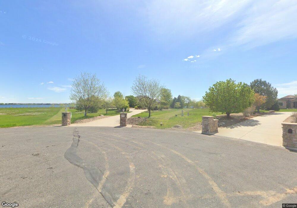
2114 Shoreside Dr Berthoud, CO 80513
Estimated Value: $1,954,000 - $1,972,328
5
Beds
7
Baths
4,666
Sq Ft
$421/Sq Ft
Est. Value
About This Home
This home is located at 2114 Shoreside Dr, Berthoud, CO 80513 and is currently estimated at $1,963,164, approximately $420 per square foot. 2114 Shoreside Dr is a home located in Larimer County with nearby schools including Berthoud Elementary School, Turner Middle School, and Berthoud High School.
Ownership History
Date
Name
Owned For
Owner Type
Purchase Details
Closed on
Jun 19, 2003
Sold by
Nordhougen James C and Conder Nordhougen Rogene S
Bought by
Mead Scott N and Mead Andrea W
Current Estimated Value
Home Financials for this Owner
Home Financials are based on the most recent Mortgage that was taken out on this home.
Original Mortgage
$240,402
Interest Rate
5.27%
Mortgage Type
Purchase Money Mortgage
Create a Home Valuation Report for This Property
The Home Valuation Report is an in-depth analysis detailing your home's value as well as a comparison with similar homes in the area
Home Values in the Area
Average Home Value in this Area
Purchase History
| Date | Buyer | Sale Price | Title Company |
|---|---|---|---|
| Mead Scott N | $290,000 | -- | |
| Nordhougen James C | -- | -- |
Source: Public Records
Mortgage History
| Date | Status | Borrower | Loan Amount |
|---|---|---|---|
| Closed | Mead Scott N | $240,402 |
Source: Public Records
Tax History
| Year | Tax Paid | Tax Assessment Tax Assessment Total Assessment is a certain percentage of the fair market value that is determined by local assessors to be the total taxable value of land and additions on the property. | Land | Improvement |
|---|---|---|---|---|
| 2025 | $9,646 | $126,963 | $37,500 | $89,463 |
| 2024 | $9,329 | $115,173 | $40,200 | $74,973 |
| 2022 | $7,194 | $83,400 | $33,457 | $49,943 |
| 2021 | $7,394 | $85,800 | $34,420 | $51,380 |
| 2020 | $6,459 | $74,933 | $31,675 | $43,258 |
| 2019 | $6,366 | $74,933 | $31,675 | $43,258 |
| 2018 | $6,573 | $73,908 | $16,416 | $57,492 |
| 2017 | $5,730 | $73,908 | $16,416 | $57,492 |
| 2016 | $6,079 | $76,034 | $18,149 | $57,885 |
| 2015 | $6,039 | $76,040 | $18,150 | $57,890 |
| 2014 | $6,661 | $79,960 | $18,150 | $61,810 |
Source: Public Records
Map
Nearby Homes
- 2517 Southwind Rd
- 2672 Bluewater Rd
- 2668 Big Creek Ct
- 2622 Bluewater Rd
- 2635 Southwind Rd
- 2669 Southwind Rd
- 2554 Southwind Rd
- 2568 Southwind Rd
- 2734 Southwind Rd
- 2682 Southwind Rd
- 2664 Southwind Rd
- 2774 Heron Lakes Pkwy
- 2766 Heron Lakes Pkwy
- 2761 Heron Lakes Pkwy
- 914 Logan Peak Way
- 2923 Heron Lakes Pkwy
- 2805 Potomac Ct
- 2675 Heron Lakes Pkwy
- 2806 Potomac Ct
- 2116 Scottsdale Rd
- 2128 Shoreside Dr
- 2102 Shoreside Dr
- 2103 Shoreside Dr
- 2140 Shoreside Dr
- 2057 Doyle Dr
- 2141 Shoreside Dr
- 2248 Shoreside Dr
- 2235 Shoreside Dr
- 2063 Doyle Dr
- 2090 Luvesta Ct
- 2106 Luvesta Ct
- 2069 Doyle Dr
- 2261 Shoreside Dr
- 2262 Shoreside Dr
- 2091 Luvesta Ct
- 2075 Doyle Dr
- 2110 Doyle Dr
- 2079 Doyle Dr
- 2224 Doyle Dr
- 2353 Shoreside Dr
Your Personal Tour Guide
Ask me questions while you tour the home.