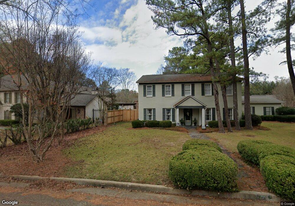
2116 Sheffield Dr Jackson, MS 39211
North Jackson NeighborhoodEstimated Value: $348,421 - $424,000
4
Beds
3
Baths
3,543
Sq Ft
$113/Sq Ft
Est. Value
About This Home
This home is located at 2116 Sheffield Dr, Jackson, MS 39211 and is currently estimated at $400,355, approximately $112 per square foot. 2116 Sheffield Dr is a home located in Hinds County with nearby schools including Spann Elementary School, Murrah High School, and Joel E. Smilow Collegiate.
Ownership History
Date
Name
Owned For
Owner Type
Purchase Details
Closed on
Jun 2, 2009
Sold by
Hollman Ann K and Hollman John H
Bought by
Roberson Thomas Richard and Roberson April H
Current Estimated Value
Home Financials for this Owner
Home Financials are based on the most recent Mortgage that was taken out on this home.
Original Mortgage
$294,500
Outstanding Balance
$186,470
Interest Rate
4.81%
Estimated Equity
$213,885
Create a Home Valuation Report for This Property
The Home Valuation Report is an in-depth analysis detailing your home's value as well as a comparison with similar homes in the area
Home Values in the Area
Average Home Value in this Area
Purchase History
| Date | Buyer | Sale Price | Title Company |
|---|---|---|---|
| Roberson Thomas Richard | -- | -- |
Source: Public Records
Mortgage History
| Date | Status | Borrower | Loan Amount |
|---|---|---|---|
| Open | Roberson Thomas Richard | $294,500 |
Source: Public Records
Tax History
| Year | Tax Paid | Tax Assessment Tax Assessment Total Assessment is a certain percentage of the fair market value that is determined by local assessors to be the total taxable value of land and additions on the property. | Land | Improvement |
|---|---|---|---|---|
| 2025 | $3,832 | $21,816 | $6,000 | $15,816 |
| 2024 | $3,832 | $21,375 | $6,000 | $15,375 |
| 2023 | $3,832 | $21,375 | $6,000 | $15,375 |
| 2022 | $4,113 | $21,375 | $6,000 | $15,375 |
| 2021 | $3,813 | $21,375 | $6,000 | $15,375 |
| 2020 | $3,750 | $21,169 | $6,000 | $15,169 |
| 2019 | $3,753 | $21,169 | $6,000 | $15,169 |
| 2018 | $3,708 | $21,169 | $6,000 | $15,169 |
| 2017 | $3,605 | $21,169 | $6,000 | $15,169 |
| 2016 | $3,605 | $21,169 | $6,000 | $15,169 |
| 2015 | $3,446 | $20,923 | $6,000 | $14,923 |
| 2014 | $3,441 | $20,923 | $6,000 | $14,923 |
Source: Public Records
Map
Nearby Homes
- 2040 Brecon Dr
- 4656 Calnita Place
- 1940 Sheffield Dr
- 4810 Shadowwood Dr
- 445 Armour Dr
- 1405 Riverwood Dr
- 4665 Katherine Blvd
- 1782 Hillview Dr
- 1766 Hillview Dr
- 1903 Bellewood Rd
- 2332 E Northside Dr
- 2342 Wild Valley Dr
- 4532 Eastwood Rd Unit 14
- 1735 Hillview Dr
- 4424 Northover Dr
- 5154 Sunnyvale Dr
- 144 Rollingwood Dr
- 5125 Old Canton Rd Unit 201
- 5125 Old Canton Rd Unit 218
- 4465 Wedgewood St
- 2122 Sheffield Dr
- 2110 Sheffield Dr
- 2127 Brackenshire Cir
- 2105 Brackenshire Cir
- 2115 Sheffield Dr
- 2121 Sheffield Dr
- 2105 Sheffield Dr
- 2126 Sheffield Dr
- 2133 Brackenshire Cir
- 2127 Sheffield Dr
- 2104 Brackenshire Cir
- 2065 Sheffield Dr
- 2122 Brackenshire Cir
- 2128 Brackenshire Cir
- 2134 Sheffield Dr
- 2110 Brackenshire Cir
- 2134 Brackenshire Cir
- 2116 Brackenshire Cir
- 2145 Brackenshire Cir
- 2133 Sheffield Dr
Your Personal Tour Guide
Ask me questions while you tour the home.