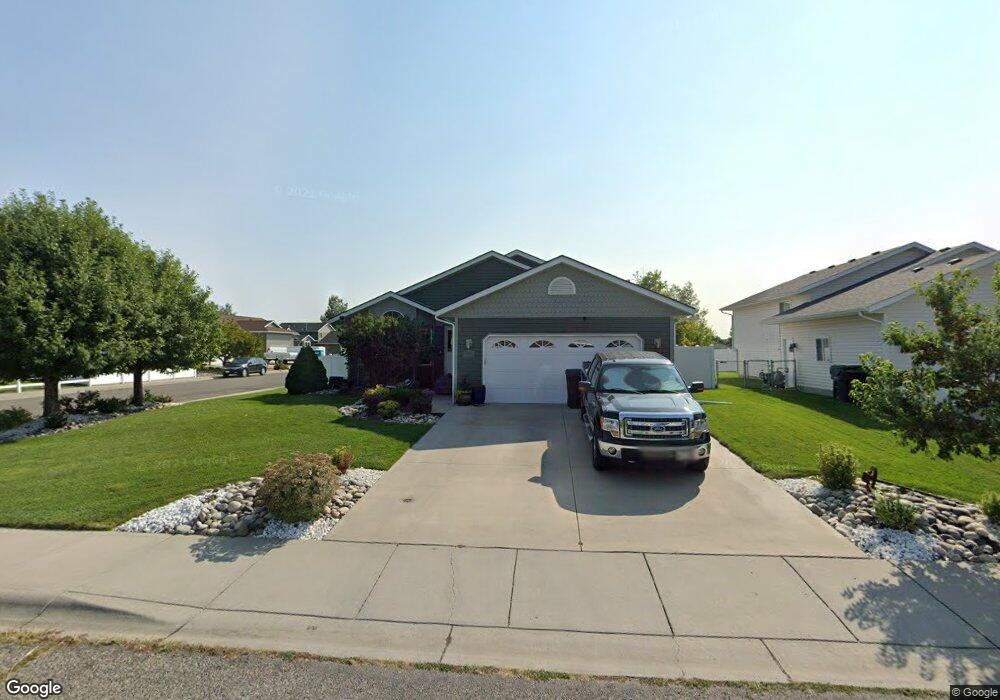
2117 Columbine Dr Billings, MT 59105
Billings Heights NeighborhoodEstimated Value: $372,000 - $406,000
3
Beds
3
Baths
1,204
Sq Ft
$329/Sq Ft
Est. Value
About This Home
This home is located at 2117 Columbine Dr, Billings, MT 59105 and is currently estimated at $395,755, approximately $328 per square foot. 2117 Columbine Dr is a home located in Yellowstone County with nearby schools including Beartooth School, Medicine Crow Middle School, and Skyview High School.
Ownership History
Date
Name
Owned For
Owner Type
Purchase Details
Closed on
Jul 27, 2006
Sold by
Moore Jeff and Moore Leticia
Bought by
Sandbak Dennis J and Regan Sandbak Diane L
Current Estimated Value
Home Financials for this Owner
Home Financials are based on the most recent Mortgage that was taken out on this home.
Original Mortgage
$138,339
Interest Rate
6.57%
Mortgage Type
New Conventional
Create a Home Valuation Report for This Property
The Home Valuation Report is an in-depth analysis detailing your home's value as well as a comparison with similar homes in the area
Home Values in the Area
Average Home Value in this Area
Purchase History
| Date | Buyer | Sale Price | Title Company |
|---|---|---|---|
| Sandbak Dennis J | -- | None Available |
Source: Public Records
Mortgage History
| Date | Status | Borrower | Loan Amount |
|---|---|---|---|
| Open | Sandbak Dennis J | $138,339 |
Source: Public Records
Tax History Compared to Growth
Tax History
| Year | Tax Paid | Tax Assessment Tax Assessment Total Assessment is a certain percentage of the fair market value that is determined by local assessors to be the total taxable value of land and additions on the property. | Land | Improvement |
|---|---|---|---|---|
| 2025 | $3,304 | $383,200 | $57,456 | $325,744 |
| 2024 | $3,304 | $346,500 | $54,951 | $291,549 |
| 2023 | $3,298 | $346,500 | $54,951 | $291,549 |
| 2022 | $2,836 | $260,600 | $0 | $0 |
| 2021 | $2,699 | $260,600 | $0 | $0 |
| 2020 | $2,718 | $250,500 | $0 | $0 |
| 2019 | $2,593 | $250,500 | $0 | $0 |
| 2018 | $2,487 | $235,700 | $0 | $0 |
| 2017 | $2,182 | $235,700 | $0 | $0 |
| 2016 | $2,205 | $216,900 | $0 | $0 |
| 2015 | $2,157 | $216,900 | $0 | $0 |
| 2014 | $1,945 | $103,562 | $0 | $0 |
Source: Public Records
Map
Nearby Homes
- 1320 Mading Dr
- 1203 Peony Dr
- 1961 Bitterroot Dr
- 1512 Mary St
- TBD Barrett Rd
- na Hawthorne Ln
- 1512 Mustang Valley Dr
- 1403 Eugene Ave
- 1007 Crist Dr
- 1374 Kelsey Ln
- 2542 Kaley Ln
- 2530 Kaley Ln
- 901 Kale Dr
- 1526 Spring Gulch Way
- 1819 Natalie St
- 1402 Eugene Way
- 1376 W Eugene Ave
- 1358 W Eugene Ave
- 1377 W Eugene Ave
- 1359 W Eugene Ave
- 2111 Columbine Dr
- 1408 Peony Dr
- 2123 Columbine Dr
- 2118 Columbine Dr
- 2105 Columbine Dr
- 1420 Peony Dr
- 2112 Columbine Dr
- 1409 Peony Dr
- 2129 Columbine Dr
- 1321 Peony Dr
- 2101 Columbine Dr
- 1421 Peony Dr
- 1432 Peony Dr
- 2106 Columbine Dr
- 1316 Peony Dr
- 2135 Columbine Dr
- 1315 Peony Dr
- 1433 Peony Dr
- 2130 Columbine Dr
- 1444 Peony Dr