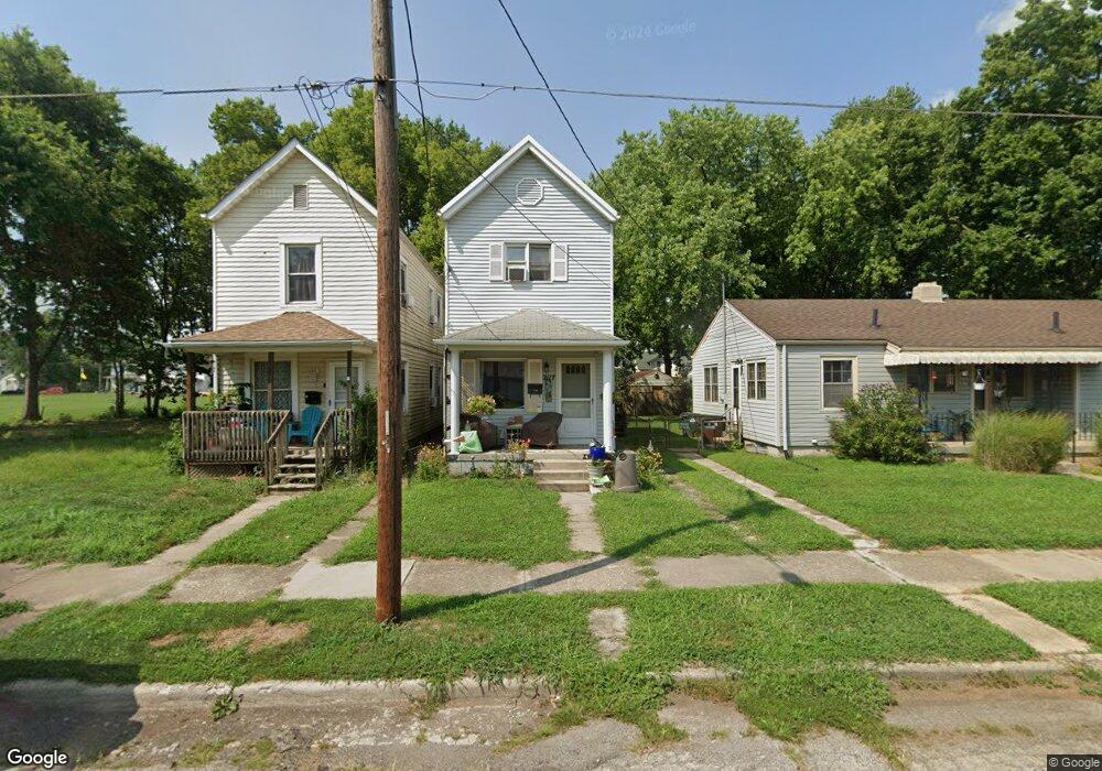
2117 Wayne Ave Middletown, OH 45044
Sherman NeighborhoodEstimated Value: $78,000 - $120,000
2
Beds
2
Baths
1,185
Sq Ft
$80/Sq Ft
Est. Value
About This Home
This home is located at 2117 Wayne Ave, Middletown, OH 45044 and is currently estimated at $94,230, approximately $79 per square foot. 2117 Wayne Ave is a home located in Butler County with nearby schools including Amanda Elementary School, Highview 6th Grade Center, and Middletown Middle School.
Ownership History
Date
Name
Owned For
Owner Type
Purchase Details
Closed on
Aug 26, 1997
Sold by
Bank One Trust Co Trust
Bought by
Thompson Randall J and Thompson Ella
Current Estimated Value
Home Financials for this Owner
Home Financials are based on the most recent Mortgage that was taken out on this home.
Original Mortgage
$45,067
Outstanding Balance
$5,939
Interest Rate
7.56%
Mortgage Type
FHA
Estimated Equity
$88,291
Purchase Details
Closed on
Mar 1, 1986
Create a Home Valuation Report for This Property
The Home Valuation Report is an in-depth analysis detailing your home's value as well as a comparison with similar homes in the area
Home Values in the Area
Average Home Value in this Area
Purchase History
| Date | Buyer | Sale Price | Title Company |
|---|---|---|---|
| Thompson Randall J | $44,000 | -- | |
| -- | $7,800 | -- |
Source: Public Records
Mortgage History
| Date | Status | Borrower | Loan Amount |
|---|---|---|---|
| Open | Thompson Randall J | $45,067 |
Source: Public Records
Tax History
| Year | Tax Paid | Tax Assessment Tax Assessment Total Assessment is a certain percentage of the fair market value that is determined by local assessors to be the total taxable value of land and additions on the property. | Land | Improvement |
|---|---|---|---|---|
| 2025 | $434 | $18,150 | $2,200 | $15,950 |
| 2024 | $434 | $18,150 | $2,200 | $15,950 |
| 2023 | $461 | $18,100 | $2,200 | $15,900 |
| 2022 | $195 | $12,120 | $2,200 | $9,920 |
| 2021 | $188 | $12,120 | $2,200 | $9,920 |
| 2020 | $196 | $12,120 | $2,200 | $9,920 |
| 2019 | $362 | $5,000 | $2,220 | $2,780 |
| 2018 | $0 | $5,000 | $2,220 | $2,780 |
| 2017 | $0 | $5,000 | $2,220 | $2,780 |
| 2016 | $0 | $3,630 | $2,220 | $1,410 |
| 2015 | -- | $3,630 | $2,220 | $1,410 |
| 2014 | $142 | $3,630 | $2,220 | $1,410 |
| 2013 | $142 | $11,120 | $2,220 | $8,900 |
Source: Public Records
Map
Nearby Homes
- 2124 Sherman Ave
- 615 Cleveland St
- 621 Cleveland St
- 2312 S Sutphin St
- 2020 Grand Ave
- 2418 Sherman Ave
- 409 Crawford St
- 2308 Queen Ave
- 319 Crawford St
- 501 Stanley St
- 1832 Woodlawn Ave
- 1830 Woodlawn Ave
- 2005 Hill Ave
- 2208 Linden Ave
- 705 Crawford St
- 707 Crawford St
- 2308 Hill Ave
- 709 Crawford St
- 2121 Roosevelt Blvd
- 1907 Hill Ave
- 2115 Wayne Ave
- 2119 Wayne Ave
- 2121 Wayne Ave
- 2123 Wayne Ave
- 2125 Wayne Ave
- 2116 Sherman Ave
- 2118 Sherman Ave
- 2112 Sherman Ave
- 2120 Sherman Ave
- 2117 Woodlawn Ave
- 2122 Sherman Ave
- 2127 Wayne Ave
- 2115 Woodlawn Ave
- 2201 Woodlawn Ave
- 2113 Woodlawn Ave
- 2203 Woodlawn Ave
- 2129 Wayne Ave
- 2114 Sherman Ave
- 2131 Wayne Ave
- 2107 Woodlawn_ Includes 2 Buildings Ave
Your Personal Tour Guide
Ask me questions while you tour the home.