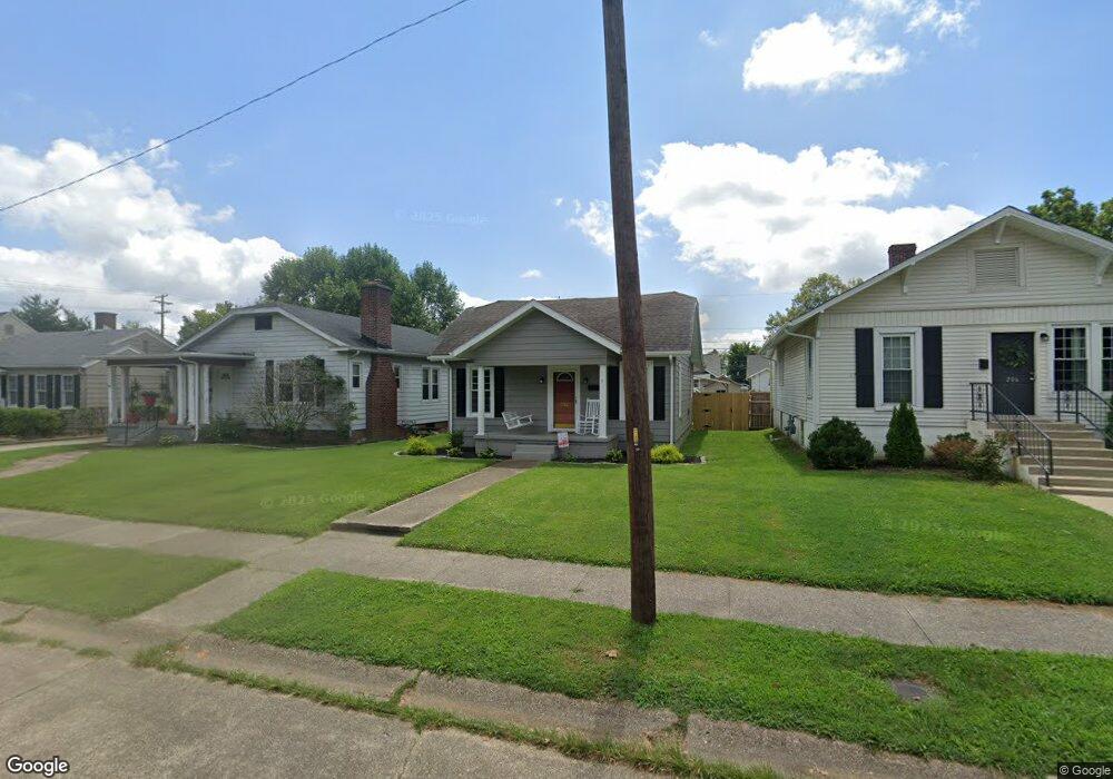
212 E 22nd St Owensboro, KY 42303
Midtown East NeighborhoodEstimated Value: $166,861 - $193,000
3
Beds
1
Bath
1,110
Sq Ft
$159/Sq Ft
Est. Value
About This Home
This home is located at 212 E 22nd St, Owensboro, KY 42303 and is currently estimated at $176,715, approximately $159 per square foot. 212 E 22nd St is a home located in Daviess County with nearby schools including Newton Parrish Elementary School, Owensboro Middle School North, and Owensboro High School.
Ownership History
Date
Name
Owned For
Owner Type
Purchase Details
Closed on
Aug 26, 2021
Sold by
Cunningham Paul A and Cunningham Donna S
Bought by
Moore Christian K
Current Estimated Value
Home Financials for this Owner
Home Financials are based on the most recent Mortgage that was taken out on this home.
Original Mortgage
$123,710
Outstanding Balance
$110,798
Interest Rate
2.09%
Mortgage Type
Construction
Estimated Equity
$65,917
Purchase Details
Closed on
Feb 17, 2021
Bought by
Cunningham Paul and Cunningham Donna
Create a Home Valuation Report for This Property
The Home Valuation Report is an in-depth analysis detailing your home's value as well as a comparison with similar homes in the area
Home Values in the Area
Average Home Value in this Area
Purchase History
| Date | Buyer | Sale Price | Title Company |
|---|---|---|---|
| Moore Christian K | $145,000 | Attorney Only | |
| Cunningham Paul | $75,000 | -- |
Source: Public Records
Mortgage History
| Date | Status | Borrower | Loan Amount |
|---|---|---|---|
| Open | Moore Christian K | $123,710 |
Source: Public Records
Tax History Compared to Growth
Tax History
| Year | Tax Paid | Tax Assessment Tax Assessment Total Assessment is a certain percentage of the fair market value that is determined by local assessors to be the total taxable value of land and additions on the property. | Land | Improvement |
|---|---|---|---|---|
| 2025 | $1,612 | $145,000 | $0 | $0 |
| 2024 | $1,612 | $145,000 | $0 | $0 |
| 2023 | $500 | $145,000 | $0 | $0 |
| 2022 | $2,152 | $145,000 | $0 | $0 |
| 2021 | $1,120 | $75,000 | $0 | $0 |
| 2020 | $1,236 | $83,500 | $0 | $0 |
| 2019 | $94,824 | $83,500 | $0 | $0 |
| 2018 | $1,251 | $83,500 | $0 | $0 |
| 2017 | $1,246 | $83,500 | $0 | $0 |
| 2016 | $1,238 | $83,500 | $0 | $0 |
| 2015 | $929 | $83,500 | $0 | $0 |
| 2014 | $926 | $83,500 | $0 | $0 |
Source: Public Records
Map
Nearby Homes
- 305 E 23rd St
- 117 W 20th St
- 120 W 19th St
- 600 E 26th St
- 430 Booth Ave
- 2816 Tanglewood Dr
- 2050 Southtown Blvd
- 1542 Frederica St
- 409 Griffith Ave
- 709 Wesleyan Park Dr
- 531 Griffith Ave
- 816 Booth Ave
- 3021 Sterling Ct
- 1053 Hill Ave
- 522 Monterrey Dr
- 7058 Jessica Ln
- 1205 Daviess St
- 301 W Legion Blvd
- 418 Locust Ct
- 1089 Hill Ave