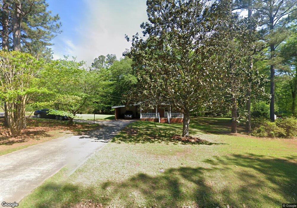
212 Harp Rd Thomaston, GA 30286
Estimated Value: $207,567 - $241,000
3
Beds
2
Baths
1,530
Sq Ft
$146/Sq Ft
Est. Value
About This Home
This home is located at 212 Harp Rd, Thomaston, GA 30286 and is currently estimated at $222,642, approximately $145 per square foot. 212 Harp Rd is a home located in Upson County with nearby schools including Upson-Lee South Elementary School, Upson-Lee North Elementary School, and Upson-Lee Middle School.
Ownership History
Date
Name
Owned For
Owner Type
Purchase Details
Closed on
Nov 26, 2014
Sold by
Byrd Frank A
Bought by
Laura Peoples
Current Estimated Value
Purchase Details
Closed on
Mar 22, 2011
Sold by
Thompson Marjorie
Bought by
Byrd Frank A
Home Financials for this Owner
Home Financials are based on the most recent Mortgage that was taken out on this home.
Original Mortgage
$44,100
Interest Rate
4.92%
Mortgage Type
New Conventional
Purchase Details
Closed on
Mar 3, 2008
Sold by
Not Provided
Bought by
Byrd Frank A
Create a Home Valuation Report for This Property
The Home Valuation Report is an in-depth analysis detailing your home's value as well as a comparison with similar homes in the area
Home Values in the Area
Average Home Value in this Area
Purchase History
| Date | Buyer | Sale Price | Title Company |
|---|---|---|---|
| Laura Peoples | $74,000 | -- | |
| Byrd Frank A | $49,000 | -- | |
| Byrd Frank A | -- | -- |
Source: Public Records
Mortgage History
| Date | Status | Borrower | Loan Amount |
|---|---|---|---|
| Previous Owner | Byrd Frank A | $44,100 |
Source: Public Records
Tax History
| Year | Tax Paid | Tax Assessment Tax Assessment Total Assessment is a certain percentage of the fair market value that is determined by local assessors to be the total taxable value of land and additions on the property. | Land | Improvement |
|---|---|---|---|---|
| 2025 | $1,541 | $59,876 | $9,000 | $50,876 |
| 2024 | $1,541 | $58,532 | $9,000 | $49,532 |
| 2023 | $1,537 | $54,838 | $9,000 | $45,838 |
| 2022 | $1,062 | $38,301 | $9,000 | $29,301 |
| 2021 | $984 | $37,346 | $9,000 | $28,346 |
| 2020 | $938 | $33,234 | $6,400 | $26,834 |
| 2019 | $948 | $30,952 | $6,400 | $24,552 |
| 2018 | $949 | $30,952 | $6,400 | $24,552 |
| 2017 | $949 | $28,240 | $6,400 | $21,840 |
| 2016 | $941 | $27,520 | $6,400 | $21,120 |
| 2015 | $941 | $27,520 | $6,400 | $21,120 |
| 2014 | $691 | $22,168 | $6,400 | $15,768 |
Source: Public Records
Map
Nearby Homes
- 121 David Dr
- 121 Salbar St
- 202 Daniel Rd
- 215 Denham St
- 107 Maynard St
- 0 Daniel Rd Unit 10644862
- 0 Glenwood Dr Unit 10568562
- 109 Salter Rd
- 123 Church Rd
- 19 Fallin Rd
- 115 Hillside Dr
- 134 Church Rd
- 6 Thompson Ln
- 47 Hill Crest Dr
- 458 E St
- 100 Beaver Run Trace
- 0 12th Ave Unit 10630351
- 422 Heath Dr
- 228 R St NW
- 119 F St
Your Personal Tour Guide
Ask me questions while you tour the home.