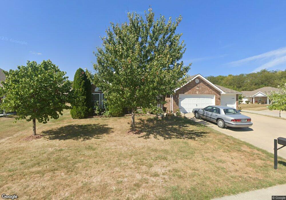
212 NW Michael Dr Grain Valley, MO 64029
Estimated Value: $320,003 - $353,000
3
Beds
2
Baths
1,566
Sq Ft
$215/Sq Ft
Est. Value
About This Home
This home is located at 212 NW Michael Dr, Grain Valley, MO 64029 and is currently estimated at $337,251, approximately $215 per square foot. 212 NW Michael Dr is a home located in Jackson County with nearby schools including Grain Valley High School.
Ownership History
Date
Name
Owned For
Owner Type
Purchase Details
Closed on
Aug 12, 2015
Sold by
Handy Jeffrey W and Handy Sherri L
Bought by
Glass Timothy and Glass Tammy
Current Estimated Value
Home Financials for this Owner
Home Financials are based on the most recent Mortgage that was taken out on this home.
Original Mortgage
$83,700
Outstanding Balance
$66,053
Interest Rate
4.13%
Mortgage Type
New Conventional
Estimated Equity
$271,198
Purchase Details
Closed on
Jul 2, 2015
Sold by
Jeff Handy Construction Llc
Bought by
Handy Jeffrey W and Handy Sherri L
Home Financials for this Owner
Home Financials are based on the most recent Mortgage that was taken out on this home.
Original Mortgage
$83,700
Outstanding Balance
$66,053
Interest Rate
4.13%
Mortgage Type
New Conventional
Estimated Equity
$271,198
Create a Home Valuation Report for This Property
The Home Valuation Report is an in-depth analysis detailing your home's value as well as a comparison with similar homes in the area
Home Values in the Area
Average Home Value in this Area
Purchase History
| Date | Buyer | Sale Price | Title Company |
|---|---|---|---|
| Glass Timothy | -- | First American Title | |
| Handy Jeffrey W | -- | First American Title Co |
Source: Public Records
Mortgage History
| Date | Status | Borrower | Loan Amount |
|---|---|---|---|
| Open | Glass Timothy | $83,700 |
Source: Public Records
Tax History
| Year | Tax Paid | Tax Assessment Tax Assessment Total Assessment is a certain percentage of the fair market value that is determined by local assessors to be the total taxable value of land and additions on the property. | Land | Improvement |
|---|---|---|---|---|
| 2025 | $4,179 | $42,715 | $6,148 | $36,567 |
| 2024 | $4,023 | $50,734 | $5,210 | $45,524 |
| 2023 | $4,023 | $50,734 | $7,078 | $43,656 |
| 2022 | $2,928 | $32,300 | $5,349 | $26,951 |
| 2021 | $2,859 | $32,300 | $5,349 | $26,951 |
| 2020 | $2,895 | $32,254 | $5,349 | $26,905 |
| 2019 | $2,836 | $32,254 | $5,349 | $26,905 |
| 2018 | $1,674,999 | $29,976 | $5,810 | $24,166 |
| 2017 | $2,821 | $29,976 | $5,810 | $24,166 |
| 2016 | $2,484 | $26,410 | $4,750 | $21,660 |
Source: Public Records
Map
Nearby Homes
- 1703 NW Willow Dr
- 408 NE Greenview Dr
- 2700 NE Wheatley Dr
- 2512 NE Wheatley Dr
- 2701 NE Wheatley Dr
- 2601 NE Wheatley Dr
- 1809 SE Ridgewood Dr
- 2605 NE Crestview St
- 2700 NE Crestview St
- 6205 Chiles Rd
- 708 Pavillion Dr
- 2601 NE Amanda Ln
- 29800 E 65th St
- 400 Pavillion Dr
- 207 NW Barr Rd
- 1007 SW Blue Branch Dr
- 1121 SW Ephraim Dr Unit 45B
- 1220 SW Dakota Star Ct
- 1014 SW Sandy Ln
- 107 Rock Creek Dr
- 210 NW Michael Dr
- 213 NW Michael Dr
- 213 NW Willow Ct
- 208 NW Michael Dr
- 211 NW Willow Ct
- 1900 NW Willow Dr
- 1902 NW Willow Dr
- 1816 NW Willow Dr
- 209 NW Willow Ct
- 211 NW Michael Dr
- 1904 NW Willow Dr
- 1814 NW Willow Dr
- 209 NW Michael Dr
- 1906 NW Willow Dr
- 207 NW Michael Dr
- 1812 NW Willow Dr
- 210 NW Willow Ct
- 204 NW Michael Dr
- 212 NW Jackie Ave
- 210 NW Jackie Ave
Your Personal Tour Guide
Ask me questions while you tour the home.