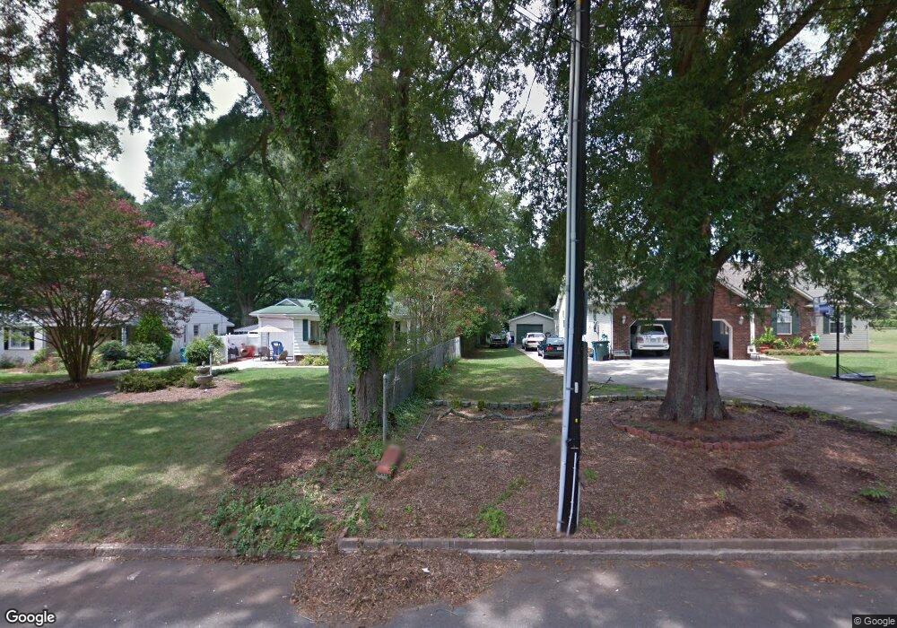
212 S Mccoy Rd Salisbury, NC 28144
Estimated Value: $285,764 - $380,000
3
Beds
2
Baths
1,776
Sq Ft
$178/Sq Ft
Est. Value
About This Home
This home is located at 212 S Mccoy Rd, Salisbury, NC 28144 and is currently estimated at $316,191, approximately $178 per square foot. 212 S Mccoy Rd is a home located in Rowan County with nearby schools including H D Isenberg Elementary, North Rowan Middle School, and Salisbury High School.
Ownership History
Date
Name
Owned For
Owner Type
Purchase Details
Closed on
Jun 10, 2019
Sold by
Kendall Jo Ann
Bought by
Davis Catherine E and Davis Felix
Current Estimated Value
Home Financials for this Owner
Home Financials are based on the most recent Mortgage that was taken out on this home.
Original Mortgage
$180,000
Outstanding Balance
$158,582
Interest Rate
4.2%
Mortgage Type
New Conventional
Estimated Equity
$157,609
Purchase Details
Closed on
Feb 20, 2008
Sold by
Hall Roger C and Hall Penelope D
Bought by
Kendall Jo Ann
Home Financials for this Owner
Home Financials are based on the most recent Mortgage that was taken out on this home.
Original Mortgage
$110,000
Interest Rate
5.65%
Mortgage Type
Unknown
Create a Home Valuation Report for This Property
The Home Valuation Report is an in-depth analysis detailing your home's value as well as a comparison with similar homes in the area
Home Values in the Area
Average Home Value in this Area
Purchase History
| Date | Buyer | Sale Price | Title Company |
|---|---|---|---|
| Davis Catherine E | $225,000 | None Available | |
| Kendall Jo Ann | $150,000 | None Available |
Source: Public Records
Mortgage History
| Date | Status | Borrower | Loan Amount |
|---|---|---|---|
| Open | Davis Catherine E | $180,000 | |
| Previous Owner | Kendall Jo Ann | $110,000 |
Source: Public Records
Tax History
| Year | Tax Paid | Tax Assessment Tax Assessment Total Assessment is a certain percentage of the fair market value that is determined by local assessors to be the total taxable value of land and additions on the property. | Land | Improvement |
|---|---|---|---|---|
| 2025 | $2,727 | $227,981 | $25,500 | $202,481 |
| 2024 | $2,727 | $227,981 | $25,500 | $202,481 |
| 2023 | $2,727 | $227,981 | $25,500 | $202,481 |
| 2022 | $2,074 | $150,639 | $23,460 | $127,179 |
| 2021 | $2,074 | $150,639 | $23,460 | $127,179 |
| 2020 | $2,074 | $150,639 | $23,460 | $127,179 |
| 2019 | $2,074 | $150,639 | $23,460 | $127,179 |
| 2018 | $1,765 | $129,868 | $23,460 | $106,408 |
| 2017 | $1,755 | $129,868 | $23,460 | $106,408 |
| 2016 | $1,707 | $129,868 | $23,460 | $106,408 |
| 2015 | $1,718 | $129,868 | $23,460 | $106,408 |
| 2014 | $1,685 | $128,908 | $23,460 | $105,448 |
Source: Public Records
Map
Nearby Homes
- 1638 W Colonial Dr Unit 133
- 2622 Old Wilkesboro Rd
- 113 S Milford Dr
- 2628 Old Wilkesboro Rd
- 1300 Larchmont Place Unit 402
- 1300 Larchmont Place Unit 504
- 1300 Larchmont Place Unit 810
- 1300 Larchmont Place
- 1317 Arden Dr
- 1612 Statesville Blvd
- 207 N Milford Dr
- 106 Gallarie Place
- 104 Gallarie Place
- 636 Statesville Blvd
- 519 Riviera Dr
- 400 Statesville Blvd
- 1805 Wellington Hills Cir Unit 1805
- 401 Wellington Hills Cir
- 502 Wellington Hills Cir Unit 502
- 0 Hogans Valley Way Unit CAR4284662
- 1328 Welch Rd
- 208 S Mccoy Rd
- 216 S Mccoy Rd
- 220 S Mccoy Rd
- 200 S Mccoy Rd
- 224 S Mccoy Rd
- 0 S Mccoy Rd
- 209 S Mccoy Rd
- 217 S Milford Dr
- 228 S Mccoy Rd
- 175 S Mccoy Rd
- 205 S Mccoy Rd
- 1511 Wiltshire Rd
- 213 S Mccoy Rd
- 211 S Milford Dr
- 140 S Mccoy Rd
- 232 S Mccoy Rd
- 201 S Milford Dr
- 229 S Milford Dr
- 141 S Mccoy Rd
Your Personal Tour Guide
Ask me questions while you tour the home.