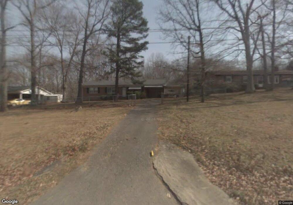
212 Sarah St Mount Airy, NC 27030
Estimated Value: $145,000 - $220,000
3
Beds
2
Baths
1,100
Sq Ft
$163/Sq Ft
Est. Value
About This Home
This home is located at 212 Sarah St, Mount Airy, NC 27030 and is currently estimated at $179,175, approximately $162 per square foot. 212 Sarah St is a home located in Surry County with nearby schools including Westfield Elementary School, Pilot Mountain Middle School, and East Surry High School.
Ownership History
Date
Name
Owned For
Owner Type
Purchase Details
Closed on
Nov 28, 2023
Sold by
Washington Michelle and Washington Sean
Bought by
Great Value Rentals Llc
Current Estimated Value
Purchase Details
Closed on
Nov 17, 2023
Sold by
Substitute Trustee Services Inc
Bought by
Ayers Michael Andrew and Ayers Sandra Sheppard
Purchase Details
Closed on
Sep 14, 2023
Sold by
Ayers Michael
Bought by
212 Sarah St Land Trust and Castro
Create a Home Valuation Report for This Property
The Home Valuation Report is an in-depth analysis detailing your home's value as well as a comparison with similar homes in the area
Home Values in the Area
Average Home Value in this Area
Purchase History
| Date | Buyer | Sale Price | Title Company |
|---|---|---|---|
| Great Value Rentals Llc | -- | None Listed On Document | |
| Ayers Michael Andrew | $77,175 | None Listed On Document | |
| 212 Sarah St Land Trust | $2,000 | None Listed On Document | |
| 212 Sarah St Land Trust | $2,000 | None Listed On Document |
Source: Public Records
Tax History Compared to Growth
Tax History
| Year | Tax Paid | Tax Assessment Tax Assessment Total Assessment is a certain percentage of the fair market value that is determined by local assessors to be the total taxable value of land and additions on the property. | Land | Improvement |
|---|---|---|---|---|
| 2025 | $784 | $126,020 | $11,700 | $114,320 |
| 2024 | $516 | $75,320 | $11,700 | $63,620 |
| 2023 | $617 | $93,220 | $11,700 | $81,520 |
| 2022 | $617 | $93,220 | $11,700 | $81,520 |
| 2021 | $627 | $93,220 | $11,700 | $81,520 |
| 2020 | $521 | $73,510 | $11,700 | $61,810 |
| 2019 | $518 | $73,510 | $11,700 | $61,810 |
| 2018 | $516 | $73,510 | $0 | $0 |
| 2017 | $515 | $73,510 | $0 | $0 |
| 2016 | $515 | $73,510 | $0 | $0 |
| 2013 | -- | $72,680 | $0 | $0 |
Source: Public Records
Map
Nearby Homes
- 177 Janice Dr
- 208 Holly Ave
- 201 Circle View Rd
- 278 Old Us Highway 52
- 200 Englewood Trail
- 2326 Westfield Rd
- 2384 Westfield Rd
- 366 Sheep Farm Rd
- Lot 5 Howell Rd
- 00 S Andy Griffith Pkwy
- TBD S Andy Griffith Pkwy
- 731 Indian Grove Church Rd
- Tbd Farmbrook Rd
- 0 Chestnut Ridge Rd
- 01 Farmbrook Rd
- 000000 Farmbrook Rd
- 00000 Farmbrook Rd
- 02 Farmbrook Rd
- 00 Farmbrook Rd
- 446 Gilley Rd