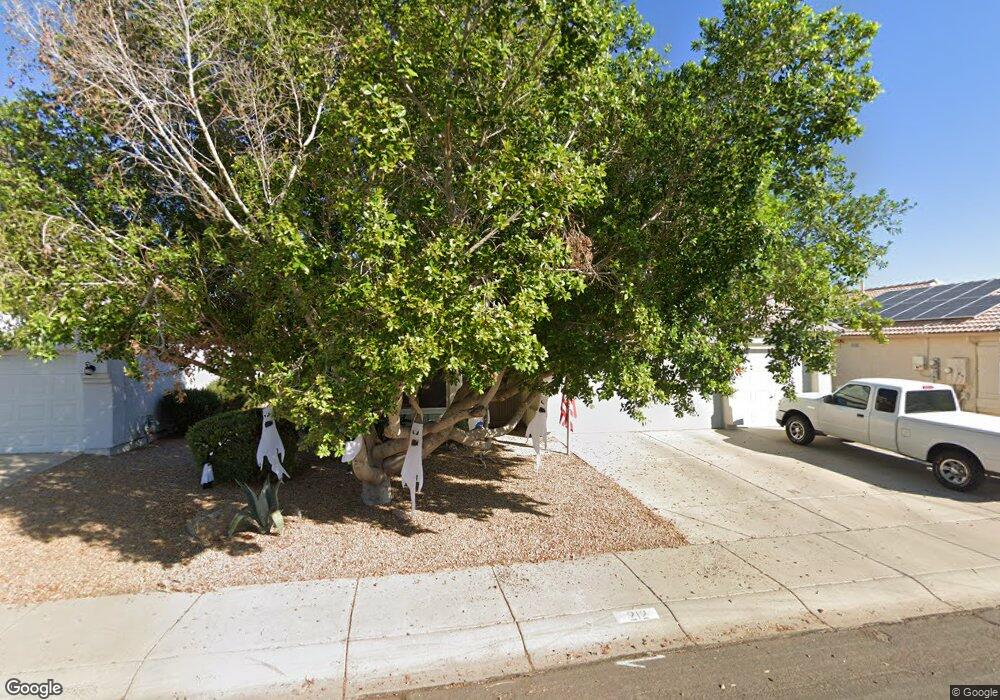
212 W Caroline Ln Chandler, AZ 85225
North Chandler NeighborhoodEstimated Value: $398,889 - $505,000
--
Bed
3
Baths
1,612
Sq Ft
$294/Sq Ft
Est. Value
About This Home
This home is located at 212 W Caroline Ln, Chandler, AZ 85225 and is currently estimated at $473,222, approximately $293 per square foot. 212 W Caroline Ln is a home located in Maricopa County with nearby schools including Sanborn Elementary School, Chandler High School, and Andersen Junior High School.
Ownership History
Date
Name
Owned For
Owner Type
Purchase Details
Closed on
Feb 28, 1996
Sold by
D R Horton Inc
Bought by
Reed Donald J and Reed Gail A
Current Estimated Value
Home Financials for this Owner
Home Financials are based on the most recent Mortgage that was taken out on this home.
Original Mortgage
$114,101
Outstanding Balance
$4,481
Interest Rate
7.04%
Mortgage Type
VA
Estimated Equity
$468,741
Create a Home Valuation Report for This Property
The Home Valuation Report is an in-depth analysis detailing your home's value as well as a comparison with similar homes in the area
Home Values in the Area
Average Home Value in this Area
Purchase History
| Date | Buyer | Sale Price | Title Company |
|---|---|---|---|
| Reed Donald J | $114,101 | First American Title |
Source: Public Records
Mortgage History
| Date | Status | Borrower | Loan Amount |
|---|---|---|---|
| Open | Reed Donald J | $114,101 |
Source: Public Records
Tax History Compared to Growth
Tax History
| Year | Tax Paid | Tax Assessment Tax Assessment Total Assessment is a certain percentage of the fair market value that is determined by local assessors to be the total taxable value of land and additions on the property. | Land | Improvement |
|---|---|---|---|---|
| 2025 | $1,590 | $20,413 | -- | -- |
| 2024 | $1,536 | $19,441 | -- | -- |
| 2023 | $1,536 | $37,360 | $7,470 | $29,890 |
| 2022 | $1,482 | $27,920 | $5,580 | $22,340 |
| 2021 | $1,553 | $25,700 | $5,140 | $20,560 |
| 2020 | $1,546 | $23,420 | $4,680 | $18,740 |
| 2019 | $1,487 | $22,120 | $4,420 | $17,700 |
| 2018 | $1,440 | $20,760 | $4,150 | $16,610 |
| 2017 | $1,342 | $19,500 | $3,900 | $15,600 |
| 2016 | $1,293 | $18,650 | $3,730 | $14,920 |
| 2015 | $1,253 | $16,780 | $3,350 | $13,430 |
Source: Public Records
Map
Nearby Homes
- 1340 N Oregon St
- 1961 N Hartford St Unit 1055
- 1961 N Hartford St Unit 1178
- 1961 N Hartford St Unit 1092
- 1955 N Illinois St
- 1970 N Hartford St Unit 84
- 1970 N Hartford St Unit 88
- 1520 N Hartford St
- 1419 N Vine St
- 440 W Ironwood Dr
- 200 E Knox Rd Unit 104
- 200 E Knox Rd Unit 67
- 200 E Knox Rd Unit 145
- 555 W Warner Rd Unit 127
- 555 W Warner Rd Unit 139
- 555 W Warner Rd Unit 156
- 1580 N Sunset Place
- 1255 N Arizona Ave Unit 1289
- 1255 N Arizona Ave Unit 1197
- 1255 N Arizona Ave Unit 1248
- 192 W Caroline Ln
- 232 W Caroline Ln
- 419 W Greentree Dr
- 427 W Greentree Dr
- 411 W Greentree Dr
- 182 W Caroline Ln
- 435 W Greentree Dr
- 213 W Caroline Ln
- 223 W Caroline Ln
- 203 W Caroline Ln
- 233 W Caroline Ln
- 242 W Caroline Ln
- 193 W Caroline Ln
- 407 W Greentree Dr
- 172 W Caroline Ln
- 443 W Greentree Dr
- 183 W Caroline Ln
- 1520 N Dakota St
- 418 W Greentree Dr