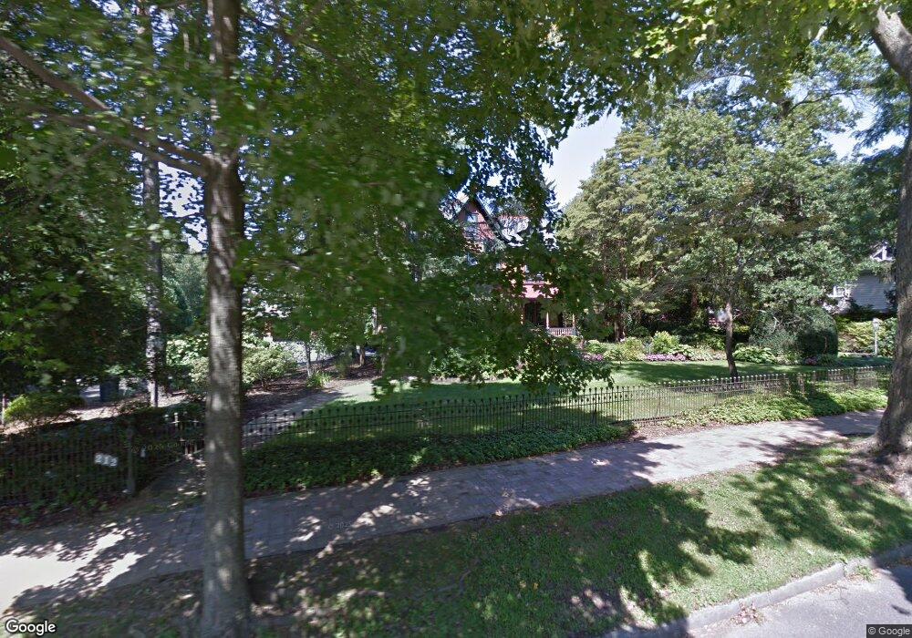
212 Warwick Rd Haddonfield, NJ 08033
Estimated Value: $1,313,000 - $2,284,971
1
Bed
1
Bath
3,809
Sq Ft
$457/Sq Ft
Est. Value
About This Home
This home is located at 212 Warwick Rd, Haddonfield, NJ 08033 and is currently estimated at $1,739,657, approximately $456 per square foot. 212 Warwick Rd is a home located in Camden County with nearby schools including Haddonfield Memorial High School, Haddonfield Friends School, and Christ the King Regional School.
Ownership History
Date
Name
Owned For
Owner Type
Purchase Details
Closed on
Jun 30, 2008
Sold by
Tassini James C and Tassini Katherine M
Bought by
Stanton David and Stanton Christina
Current Estimated Value
Home Financials for this Owner
Home Financials are based on the most recent Mortgage that was taken out on this home.
Original Mortgage
$405,000
Outstanding Balance
$266,524
Interest Rate
6.47%
Mortgage Type
Credit Line Revolving
Estimated Equity
$1,473,133
Create a Home Valuation Report for This Property
The Home Valuation Report is an in-depth analysis detailing your home's value as well as a comparison with similar homes in the area
Home Values in the Area
Average Home Value in this Area
Purchase History
| Date | Buyer | Sale Price | Title Company |
|---|---|---|---|
| Stanton David | $1,300,000 | -- |
Source: Public Records
Mortgage History
| Date | Status | Borrower | Loan Amount |
|---|---|---|---|
| Open | Stanton David | $405,000 |
Source: Public Records
Tax History
| Year | Tax Paid | Tax Assessment Tax Assessment Total Assessment is a certain percentage of the fair market value that is determined by local assessors to be the total taxable value of land and additions on the property. | Land | Improvement |
|---|---|---|---|---|
| 2025 | $35,541 | $1,100,000 | $776,900 | $323,100 |
| 2024 | $35,068 | $1,100,000 | $776,900 | $323,100 |
| 2023 | $35,068 | $1,100,000 | $776,900 | $323,100 |
| 2022 | $34,793 | $1,100,000 | $776,900 | $323,100 |
| 2021 | $34,617 | $1,100,000 | $776,900 | $323,100 |
| 2020 | $34,375 | $1,100,000 | $776,900 | $323,100 |
| 2019 | $341 | $1,100,000 | $776,900 | $323,100 |
| 2018 | $36,134 | $1,179,700 | $776,900 | $402,800 |
| 2017 | $35,273 | $1,179,700 | $776,900 | $402,800 |
| 2016 | $34,483 | $1,179,700 | $776,900 | $402,800 |
| 2015 | $33,527 | $1,179,700 | $776,900 | $402,800 |
| 2014 | $32,784 | $1,179,700 | $776,900 | $402,800 |
Source: Public Records
Map
Nearby Homes
- 125 W Cottage Ave
- 109 S Atlantic Ave
- 33 Estaugh Ave
- 35 Estaugh Ave
- 370 Station Ave
- 121 Reillywood Ave
- 344 Knolltop Ln
- 109 W Euclid Ave
- 107 Centre St
- 25 W Euclid Ave
- 13 Wilkins Ave
- 166 Ellis St
- 313 Woodland Ave
- 75 Birchall Dr
- 32 Potter St
- 414 Tavistock
- 60 Potter St
- 38 Birchall Dr
- 30 Potter St
- 301 Tavistock
- 200 Moore Ln
- 220 Warwick Rd
- 208 Moore Ln
- 212 Moore Ln
- 209 Warwick Rd
- 218 Warwick Rd
- 213 Warwick Rd
- 216 Moore Ln
- 228 Warwick Rd
- 201 Warwick Rd
- 219 Warwick Rd
- 160 Warwick Rd
- 134 W Cottage Ave
- 223 W Summit Ave
- 132 W Cottage Ave
- 220 Moore Ln
- 129 W Summit Ave
- 130 W Cottage Ave
- 303 Warwick Rd
- 241 W Summit Ave
Your Personal Tour Guide
Ask me questions while you tour the home.