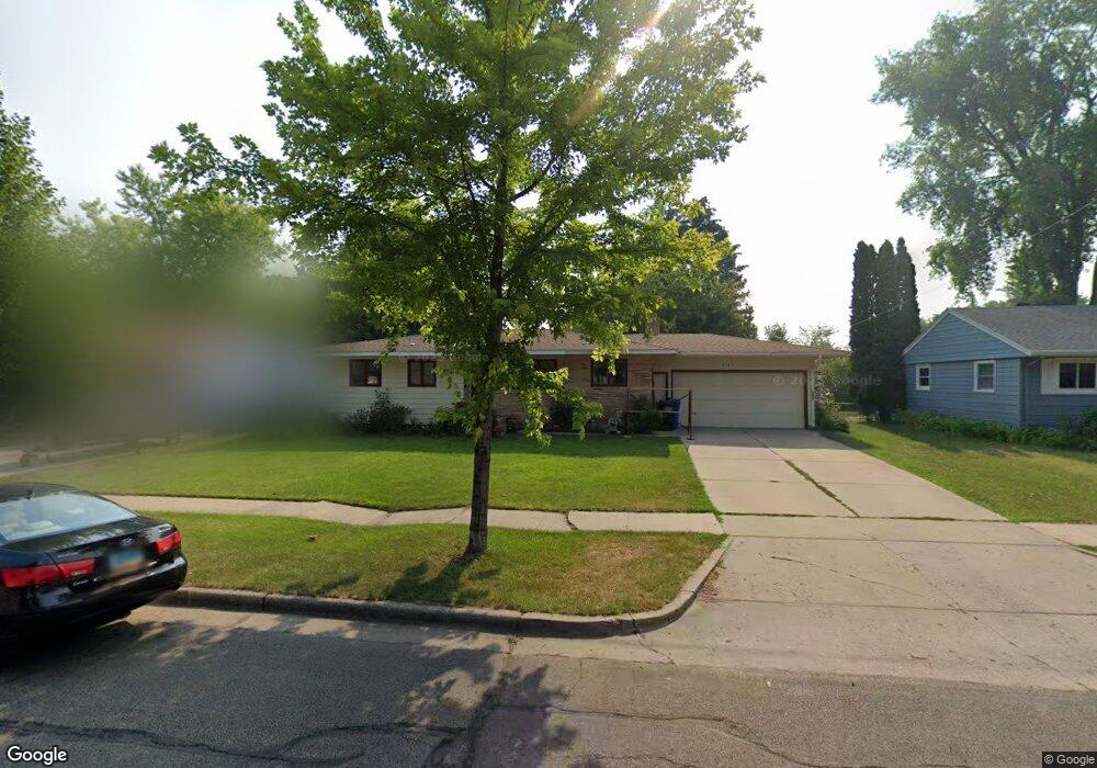
2120 11th St S Fargo, ND 58103
Lincoln NeighborhoodEstimated Value: $247,000 - $318,000
3
Beds
2
Baths
2,716
Sq Ft
$108/Sq Ft
Est. Value
About This Home
This home is located at 2120 11th St S, Fargo, ND 58103 and is currently estimated at $293,052, approximately $107 per square foot. 2120 11th St S is a home located in Cass County with nearby schools including Lincoln Elementary School, Carl Ben Eielson Middle School, and South High School.
Ownership History
Date
Name
Owned For
Owner Type
Purchase Details
Closed on
Aug 6, 2020
Sold by
Johnson Jeffrey T and Johnson Elizabeth M
Bought by
Schwartz Kally and Schwartz Randy
Current Estimated Value
Home Financials for this Owner
Home Financials are based on the most recent Mortgage that was taken out on this home.
Original Mortgage
$213,400
Outstanding Balance
$189,650
Interest Rate
3.1%
Mortgage Type
New Conventional
Estimated Equity
$103,402
Create a Home Valuation Report for This Property
The Home Valuation Report is an in-depth analysis detailing your home's value as well as a comparison with similar homes in the area
Home Values in the Area
Average Home Value in this Area
Purchase History
| Date | Buyer | Sale Price | Title Company |
|---|---|---|---|
| Schwartz Kally | $220,000 | The Title Company |
Source: Public Records
Mortgage History
| Date | Status | Borrower | Loan Amount |
|---|---|---|---|
| Open | Schwartz Kally | $213,400 |
Source: Public Records
Tax History Compared to Growth
Tax History
| Year | Tax Paid | Tax Assessment Tax Assessment Total Assessment is a certain percentage of the fair market value that is determined by local assessors to be the total taxable value of land and additions on the property. | Land | Improvement |
|---|---|---|---|---|
| 2024 | $3,321 | $141,850 | $31,300 | $110,550 |
| 2023 | $3,801 | $141,850 | $31,300 | $110,550 |
| 2022 | $3,579 | $131,350 | $31,300 | $100,050 |
| 2021 | $3,257 | $121,700 | $34,900 | $86,800 |
| 2020 | $3,214 | $121,700 | $34,900 | $86,800 |
| 2019 | $3,065 | $115,900 | $19,400 | $96,500 |
| 2018 | $3,026 | $115,900 | $19,400 | $96,500 |
| 2017 | $2,863 | $110,400 | $19,400 | $91,000 |
| 2016 | $2,526 | $107,200 | $19,400 | $87,800 |
| 2015 | $2,444 | $97,250 | $14,550 | $82,700 |
| 2014 | $2,321 | $90,050 | $14,550 | $75,500 |
| 2013 | $2,323 | $90,050 | $14,550 | $75,500 |
Source: Public Records
Map
Nearby Homes
- 2309 9th St S
- 2440 15th St S Unit B14
- 2517 W Country Club Dr S Unit 10
- 1834 14 1 2 St S
- 2650 15th St S Unit 203
- 1719 7th St S
- 1718 15th St S
- 1550 13 1 2 St S
- 1523 28th Ave S
- 2825 11th St S
- 909 Southwood Dr S
- 1550 14 1 2 St S
- 1510 8th St S
- 1545 15th St S
- 1943 19th St S
- 1439 10th St S
- 1425 11th St S
- 2636 18th St S Unit 8
- 2636 18th St S Unit 3
- 2402 18th St S Unit 3
- 2114 11th St S
- 2126 11th St S
- 2115 10th St S
- 2109 10th St S
- 2202 11th St S
- 2121 10th St S
- 1014 21st Ave S
- 2113 11th St S
- 1008 21st Ave S
- 2109 11th St S
- 2201 10th St S
- 2117 11th St S
- 2208 11th St S
- 2101 10th St S
- 2101 11th St S
- 2201 11th St S
- 2207 10th St S
- 2214 11th St S
- 1108 21st Ave S
- 2207 11th St S