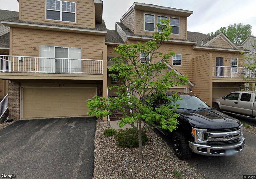
2120 Cedar Grove Trail Saint Paul, MN 55122
Estimated Value: $352,000 - $378,559
3
Beds
4
Baths
1,608
Sq Ft
$229/Sq Ft
Est. Value
About This Home
This home is located at 2120 Cedar Grove Trail, Saint Paul, MN 55122 and is currently estimated at $368,890, approximately $229 per square foot. 2120 Cedar Grove Trail is a home located in Dakota County with nearby schools including Burnsville High School, Sunrise International Montessori School, and Becks Montessori.
Ownership History
Date
Name
Owned For
Owner Type
Purchase Details
Closed on
Jul 1, 2016
Sold by
Holt Nick C and Holt Sheila R
Bought by
Burns Sean
Current Estimated Value
Home Financials for this Owner
Home Financials are based on the most recent Mortgage that was taken out on this home.
Original Mortgage
$200,000
Outstanding Balance
$159,968
Interest Rate
3.64%
Mortgage Type
New Conventional
Estimated Equity
$208,922
Purchase Details
Closed on
May 16, 2012
Sold by
Holt Sheila R and Holt Nick C
Bought by
Holt Nick C and Holt Sheila R
Home Financials for this Owner
Home Financials are based on the most recent Mortgage that was taken out on this home.
Original Mortgage
$238,600
Interest Rate
3.89%
Mortgage Type
New Conventional
Purchase Details
Closed on
Feb 28, 2006
Sold by
U S Home Corp
Bought by
Nosbush Sheila R
Purchase Details
Closed on
Dec 10, 2004
Sold by
Delta Development Inc
Bought by
U S Home Corp
Create a Home Valuation Report for This Property
The Home Valuation Report is an in-depth analysis detailing your home's value as well as a comparison with similar homes in the area
Home Values in the Area
Average Home Value in this Area
Purchase History
| Date | Buyer | Sale Price | Title Company |
|---|---|---|---|
| Burns Sean | $250,000 | Minnesota Title | |
| Holt Nick C | -- | None Available | |
| Nosbush Sheila R | $274,745 | -- | |
| U S Home Corp | $2,936,362 | -- |
Source: Public Records
Mortgage History
| Date | Status | Borrower | Loan Amount |
|---|---|---|---|
| Open | Burns Sean | $200,000 | |
| Previous Owner | Holt Nick C | $238,600 |
Source: Public Records
Tax History Compared to Growth
Tax History
| Year | Tax Paid | Tax Assessment Tax Assessment Total Assessment is a certain percentage of the fair market value that is determined by local assessors to be the total taxable value of land and additions on the property. | Land | Improvement |
|---|---|---|---|---|
| 2024 | $3,464 | $366,600 | $67,700 | $298,900 |
| 2023 | $3,464 | $366,800 | $67,200 | $299,600 |
| 2022 | $3,200 | $356,200 | $67,100 | $289,100 |
| 2021 | $3,110 | $325,100 | $58,300 | $266,800 |
| 2020 | $3,098 | $299,200 | $55,500 | $243,700 |
| 2019 | $3,082 | $287,400 | $52,900 | $234,500 |
| 2018 | $3,029 | $274,800 | $49,000 | $225,800 |
| 2017 | $2,853 | $247,600 | $44,500 | $203,100 |
| 2016 | $2,825 | $245,600 | $42,400 | $203,200 |
| 2015 | $2,415 | $221,500 | $40,700 | $180,800 |
| 2014 | -- | $196,600 | $38,200 | $158,400 |
| 2013 | -- | $179,100 | $34,300 | $144,800 |
Source: Public Records
Map
Nearby Homes
- 3973 Beryl Rd
- 2074 Carnelian Ln
- 2070 Flint Dr
- 1928 Turquoise Trail
- 4110 Rahn Rd Unit 315
- 4110 Rahn Rd Unit 312
- 4110 Rahn Rd Unit 215
- 3895 Dolomite Dr
- 2079 Garnet Ln
- 3883 Dolomite Dr
- 4130 Rahn Rd Unit B308
- 4130 Rahn Rd Unit B311
- 4130 Rahn Rd Unit 209
- 3907 Mica Trail
- 4155 Durham Ct Unit 61
- 1949 N Ruby Ct
- 2014 Diffley Rd
- 1936 Glenfield Ct Unit 22
- 2079 Coral Ln
- 1903 Silver Bell Rd Unit 203
- 2118 Cedar Grove Trail
- 2116 Cedar Grove Trail
- 2122 Cedar Grove Trail
- 2114 Cedar Grove Trail
- 2124 Cedar Grove Trail
- 2112 Cedar Grove Trail
- 2109 Cedar Grove Trail
- 2126 Cedar Grove Trail
- 2110 Cedar Grove Trail
- 2119 Cedar Grove Trail
- 2111 Cedar Grove Trail
- 2128 Cedar Grove Trail
- 2108 Cedar Grove Trail
- 2121 Cedar Grove Trail
- 2113 Cedar Grove Trail
- 2130 Cedar Grove Trail
- 2123 Cedar Grove Trail
- 2115 Cedar Grove Trail
- 2106 Cedar Grove Trail
- 2129 Cedar Grove Trail