Estimated Value: $500,000 - $623,000
4
Beds
4
Baths
3,298
Sq Ft
$172/Sq Ft
Est. Value
About This Home
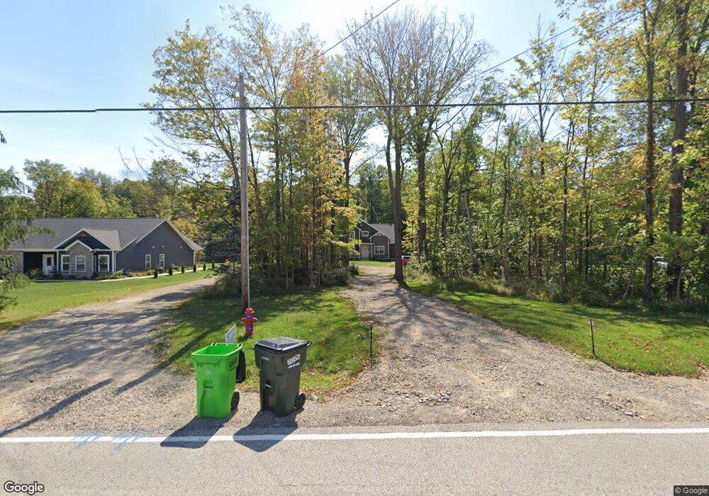
This home is located at 2120 Norton Rd, Stow, OH 44224 and is currently estimated at $566,222, approximately $171 per square foot. 2120 Norton Rd is a home located in Summit County with nearby schools including Stow-Munroe Falls High School, Primrose School of Hudson, and Seton Catholic Elementary School.
Ownership History
Date
Name
Owned For
Owner Type
Purchase Details
Closed on
Nov 21, 2016
Sold by
Honsaker Jerry J and Honsaker Catherine A
Bought by
Greenwald Greogory A and Greenwald Kathleen M
Current Estimated Value
Purchase Details
Closed on
Sep 23, 2006
Sold by
Honsaker Jerry J and Honsaker Catherine A
Bought by
Honsaker Jerry J and Honsaker Catherine A
Purchase Details
Closed on
Nov 16, 2000
Sold by
Robert Pieplow and Robert Anna Ruth
Bought by
Honsaker Jerry J and Honsaker Catherine A
Home Financials for this Owner
Home Financials are based on the most recent Mortgage that was taken out on this home.
Original Mortgage
$180,000
Interest Rate
7.87%
Create a Home Valuation Report for This Property
The Home Valuation Report is an in-depth analysis detailing your home's value as well as a comparison with similar homes in the area
Home Values in the Area
Average Home Value in this Area
Purchase History
| Date | Buyer | Sale Price | Title Company |
|---|---|---|---|
| Greenwald Greogory A | $90,000 | None Available | |
| Honsaker Jerry J | -- | Johnson & Parrish Title | |
| Honsaker Jerry J | $25,000 | Johnson & Parrish Title Agen |
Source: Public Records
Mortgage History
| Date | Status | Borrower | Loan Amount |
|---|---|---|---|
| Previous Owner | Honsaker Jerry J | $180,000 |
Source: Public Records
Tax History
| Year | Tax Paid | Tax Assessment Tax Assessment Total Assessment is a certain percentage of the fair market value that is determined by local assessors to be the total taxable value of land and additions on the property. | Land | Improvement |
|---|---|---|---|---|
| 2024 | $9,940 | $177,003 | $24,602 | $152,401 |
| 2023 | $9,940 | $177,003 | $24,602 | $152,401 |
| 2022 | $9,538 | $150,053 | $19,072 | $130,981 |
| 2021 | $8,755 | $150,053 | $19,072 | $130,981 |
| 2020 | $8,530 | $148,690 | $19,070 | $129,620 |
| 2019 | $4,972 | $80,510 | $16,830 | $63,680 |
| 2018 | $902 | $13,800 | $13,800 | $0 |
| 2017 | $927 | $13,800 | $13,800 | $0 |
| 2016 | $951 | $13,800 | $13,800 | $0 |
| 2015 | $927 | $13,800 | $13,800 | $0 |
| 2014 | $928 | $13,800 | $13,800 | $0 |
| 2013 | $922 | $13,800 | $13,800 | $0 |
Source: Public Records
Map
Nearby Homes
- 1995 Weston Dr
- V/L Norton Rd
- 5091 Ridge Meadow Dr
- 2221 Crockett Cir
- 2188 Duxbury
- 1620 Sapphire Dr
- 5123 Sodalite Dr
- 2279 Becket Cir
- 5361 Diana Lynn Dr
- 4704 Red Willow Rd
- 1525 Spruce Hill Dr
- 4916 Friar Rd Unit B
- 4623 Cox Dr
- 4909 Fishcreek Rd
- 4424 Timberdale Dr Unit 4428
- 0 Hibbard Dr
- 1961 Arndale Rd
- 2072 White Oak Dr Unit 2076
- 4399-4403 Cherryhurst Dr
- 5974 Anna Lee Dr
- 2120 Norton Rd
- 2132 Norton Rd
- 2146 Norton Rd
- 3992 Deacon Ct
- 2102 Norton Rd
- 3989 Deacon Ct
- 2088 Norton Rd
- 2158 Norton Rd
- 1966 Weston Dr
- 4000 Deacon Ct
- 3997 Deacon Ct
- 4356 Westchester Ct
- 1980 Weston Dr
- 4364 Westchester Ct
- 4012 Deacon Ct
- 4009 Deacon Ct
- 2170 Norton Rd
- 2074 Norton Rd
- 1992 Weston Dr
- 1971 Weston Dr
Your Personal Tour Guide
Ask me questions while you tour the home.