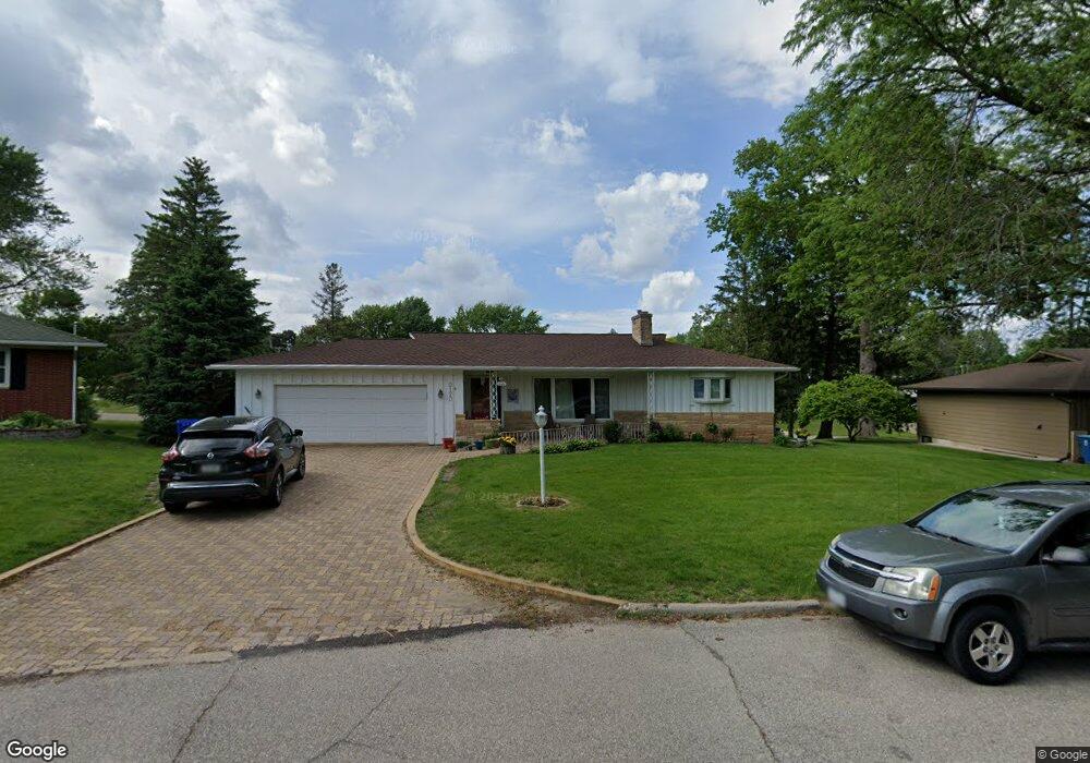
2120 Touchae St Waterloo, IA 50702
Liberty Park NeighborhoodEstimated Value: $223,000 - $287,000
3
Beds
2
Baths
2,420
Sq Ft
$105/Sq Ft
Est. Value
About This Home
This home is located at 2120 Touchae St, Waterloo, IA 50702 and is currently estimated at $255,084, approximately $105 per square foot. 2120 Touchae St is a home located in Black Hawk County with nearby schools including Kittrell Elementary School, Hoover Middle School, and West High School.
Ownership History
Date
Name
Owned For
Owner Type
Purchase Details
Closed on
Jun 12, 2014
Sold by
Lind Michael B and Lind Anna L
Bought by
Bannon Reed M and Ober Melissa A
Current Estimated Value
Home Financials for this Owner
Home Financials are based on the most recent Mortgage that was taken out on this home.
Original Mortgage
$137,000
Outstanding Balance
$103,207
Interest Rate
4.18%
Mortgage Type
New Conventional
Estimated Equity
$151,877
Purchase Details
Closed on
Jun 26, 2009
Sold by
Tompkins Roger L and Tompkins Debra C
Bought by
Lind Michael B and Lind Anna L
Home Financials for this Owner
Home Financials are based on the most recent Mortgage that was taken out on this home.
Original Mortgage
$165,840
Interest Rate
4.92%
Mortgage Type
FHA
Purchase Details
Closed on
Oct 9, 2008
Sold by
Winter Thelma B and Vahrenkamp Linda Lee
Bought by
Tompkins Roger L and Tompkins Debra C
Home Financials for this Owner
Home Financials are based on the most recent Mortgage that was taken out on this home.
Original Mortgage
$90,000
Interest Rate
5.73%
Mortgage Type
Credit Line Revolving
Create a Home Valuation Report for This Property
The Home Valuation Report is an in-depth analysis detailing your home's value as well as a comparison with similar homes in the area
Home Values in the Area
Average Home Value in this Area
Purchase History
| Date | Buyer | Sale Price | Title Company |
|---|---|---|---|
| Bannon Reed M | $179,000 | None Available | |
| Lind Michael B | $169,000 | Title Services | |
| Tompkins Roger L | $135,000 | None Available |
Source: Public Records
Mortgage History
| Date | Status | Borrower | Loan Amount |
|---|---|---|---|
| Open | Bannon Reed M | $137,000 | |
| Previous Owner | Lind Michael B | $165,840 | |
| Previous Owner | Tompkins Roger L | $90,000 |
Source: Public Records
Tax History
| Year | Tax Paid | Tax Assessment Tax Assessment Total Assessment is a certain percentage of the fair market value that is determined by local assessors to be the total taxable value of land and additions on the property. | Land | Improvement |
|---|---|---|---|---|
| 2025 | $4,652 | $246,490 | $34,860 | $211,630 |
| 2024 | $4,652 | $224,670 | $34,860 | $189,810 |
| 2023 | $3,936 | $224,670 | $34,860 | $189,810 |
| 2022 | $3,830 | $188,080 | $34,860 | $153,220 |
| 2021 | $3,778 | $188,080 | $34,860 | $153,220 |
| 2020 | $3,714 | $175,440 | $29,880 | $145,560 |
| 2019 | $3,714 | $175,440 | $29,880 | $145,560 |
| 2018 | $3,718 | $175,440 | $29,880 | $145,560 |
| 2017 | $3,834 | $175,440 | $29,880 | $145,560 |
| 2016 | $3,782 | $175,440 | $29,880 | $145,560 |
| 2015 | $3,782 | $175,440 | $29,880 | $145,560 |
| 2014 | $3,678 | $167,780 | $29,880 | $137,900 |
Source: Public Records
Map
Nearby Homes
- 819 Easton Ave
- 1809 Baltimore St
- 2506 Laurel St
- 610 Burbank Ave
- 1002 E Ridgeway Ave
- 814 E Mitchell Ave
- 2547 W 9th St
- 1103 Easton Ave
- 506 Alpine Dr
- 216 Bourland Ave
- 2624 Manor St
- 922 E Mitchell Ave
- 1150 Easton Ave
- 2648 Saratoga Dr
- 105 Cornwall Ave
- 1107 E Mitchell Ave
- 3112 W 9th St
- 1141 E Mitchell Ave
- 2527 Randolph St
- 304 Julie Ct Unit 306
- 2110 Touchae St
- 2124 Touchae St
- 2121 Touchae St
- 623 Locke Ave
- 617 Locke Ave
- 2132 Touchae St
- 611 Locke Ave
- 605 Locke Ave
- 2100 Touchae St
- 2107 Touchae St
- 707 Locke Ave
- 2141 Touchae St
- 2140 Touchae St
- 713 Locke Ave
- 2130 Easley St
- 2105 Easley St
- 616 Easton Ave
- 624 Easton Ave
- 610 Easton Ave
- 2149 Touchae St
Your Personal Tour Guide
Ask me questions while you tour the home.