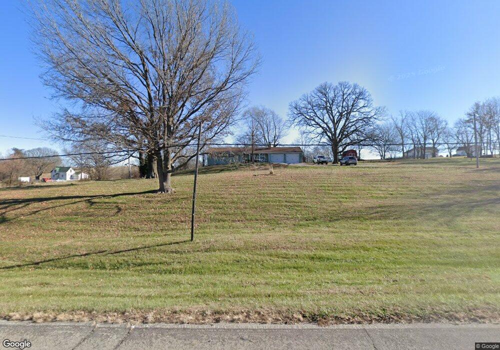
21205 Highway B Edgerton, MO 64444
Estimated Value: $315,000 - $438,000
2
Beds
2
Baths
1,792
Sq Ft
$210/Sq Ft
Est. Value
About This Home
This home is located at 21205 Highway B, Edgerton, MO 64444 and is currently estimated at $377,016, approximately $210 per square foot. 21205 Highway B is a home located in Platte County with nearby schools including North Platte Elementary School, North Platte Intermediate School, and North Platte Junior High School.
Ownership History
Date
Name
Owned For
Owner Type
Purchase Details
Closed on
Oct 9, 2023
Sold by
Burns Janey Susann
Bought by
Jones Brennar A and Jones Sydney A
Current Estimated Value
Home Financials for this Owner
Home Financials are based on the most recent Mortgage that was taken out on this home.
Original Mortgage
$245,000
Outstanding Balance
$240,237
Interest Rate
7.18%
Mortgage Type
New Conventional
Estimated Equity
$136,779
Purchase Details
Closed on
Aug 30, 2007
Sold by
Burns Daniel R and Burns Karol A
Bought by
Burns David C
Create a Home Valuation Report for This Property
The Home Valuation Report is an in-depth analysis detailing your home's value as well as a comparison with similar homes in the area
Home Values in the Area
Average Home Value in this Area
Purchase History
| Date | Buyer | Sale Price | Title Company |
|---|---|---|---|
| Jones Brennar A | -- | Stewart Title | |
| Burns David C | -- | None Available |
Source: Public Records
Mortgage History
| Date | Status | Borrower | Loan Amount |
|---|---|---|---|
| Open | Jones Brennar A | $245,000 |
Source: Public Records
Tax History Compared to Growth
Tax History
| Year | Tax Paid | Tax Assessment Tax Assessment Total Assessment is a certain percentage of the fair market value that is determined by local assessors to be the total taxable value of land and additions on the property. | Land | Improvement |
|---|---|---|---|---|
| 2023 | $2,232 | $33,753 | $3,800 | $29,953 |
| 2022 | $1,966 | $29,479 | $3,800 | $25,679 |
| 2021 | $1,973 | $29,479 | $3,800 | $25,679 |
| 2020 | $1,880 | $27,689 | $3,800 | $23,889 |
| 2019 | $1,880 | $27,689 | $3,800 | $23,889 |
| 2018 | $1,891 | $27,689 | $3,800 | $23,889 |
| 2017 | $1,891 | $27,689 | $3,800 | $23,889 |
| 2016 | $1,872 | $27,689 | $3,800 | $23,889 |
| 2015 | $1,872 | $27,689 | $3,800 | $23,889 |
| 2013 | $1,820 | $27,689 | $0 | $0 |
Source: Public Records
Map
Nearby Homes
- 5990 Z Hwy
- 19925 S Ridgely Rd
- 19845 S Ridgely Rd
- 200 W Perry St
- 306 Lewis St
- 705-707 Belt Ave
- 3815 Highway Z
- 6009 SW Walnut Cove
- 9750 SW 200th St
- 6193 SW Maple Ridge
- 9170 E Hwy
- Lot 1 Unit 2 Z Highway
- 8894 Ssr-Z Hwy
- Lot 1, 2 Z Hwy
- 8894 SW Highway Z
- 7127 SW Karen Rd
- Lot 5 Z Hwy
- Lot 2 Z Hwy
- Lot 3 Z Hwy
- 6320 NE 164th St
- 21205 Highway B
- 21175 Highway B
- 21285 Highway B
- 21515 Highway B
- 21520 Highway B
- 5345 Mount Zion Rd
- 5050 Malcolm Lake Rd
- 5340 Mount Zion Rd
- 5585 Mount Zion Rd
- 6035 Mount Zion Rd
- 5765 Mount Zion Rd
- 0 Malcolm Lake Rd Unit 2024757
- 0 Malcolm Lake Rd Unit 1298065
- 19020 SE B Rural Route
- 2C Tract Castile Estate Dr
- 1A Tract Castile Estate Dr
- 1B Tract Castile Estate Dr
- 2 Tract Castile Estate Dr
- 2B Tract Castile Estate Dr
- 1 Tract Castile Estate Dr