21206 Farm Road 2090 Aurora, MO 65605
Estimated Value: $268,000 - $596,000
5
Beds
3
Baths
936
Sq Ft
$468/Sq Ft
Est. Value
About This Home
This home is located at 21206 Farm Road 2090, Aurora, MO 65605 and is currently estimated at $438,147, approximately $468 per square foot. 21206 Farm Road 2090 is a home with nearby schools including Pate Early Childhood Center, Robinson Elementary School, and Robinson Intermediate School.
Ownership History
Date
Name
Owned For
Owner Type
Purchase Details
Closed on
Sep 9, 2025
Sold by
Vaught Christopher Bryant and Vaught Sadie
Bought by
Vaught Christopher Bryant and Vaught Sadie
Current Estimated Value
Home Financials for this Owner
Home Financials are based on the most recent Mortgage that was taken out on this home.
Original Mortgage
$385,000
Outstanding Balance
$385,000
Interest Rate
6.74%
Mortgage Type
Credit Line Revolving
Estimated Equity
$53,147
Create a Home Valuation Report for This Property
The Home Valuation Report is an in-depth analysis detailing your home's value as well as a comparison with similar homes in the area
Home Values in the Area
Average Home Value in this Area
Purchase History
| Date | Buyer | Sale Price | Title Company |
|---|---|---|---|
| Vaught Christopher Bryant | -- | None Listed On Document |
Source: Public Records
Mortgage History
| Date | Status | Borrower | Loan Amount |
|---|---|---|---|
| Open | Vaught Christopher Bryant | $385,000 |
Source: Public Records
Tax History Compared to Growth
Tax History
| Year | Tax Paid | Tax Assessment Tax Assessment Total Assessment is a certain percentage of the fair market value that is determined by local assessors to be the total taxable value of land and additions on the property. | Land | Improvement |
|---|---|---|---|---|
| 2025 | $979 | $22,363 | $3,825 | $18,538 |
| 2024 | $979 | $21,014 | $3,825 | $17,189 |
| 2023 | $978 | $21,014 | $3,825 | $17,189 |
| 2022 | $970 | $20,824 | $3,635 | $17,189 |
| 2021 | $955 | $20,444 | $3,255 | $17,189 |
| 2020 | $955 | $20,444 | $3,255 | $17,189 |
| 2018 | $944 | $20,564 | $3,375 | $17,189 |
| 2017 | $944 | $20,564 | $3,375 | $17,189 |
| 2016 | $884 | $19,035 | $3,185 | $15,850 |
| 2015 | -- | $19,035 | $3,185 | $15,850 |
| 2014 | -- | $18,915 | $3,065 | $15,850 |
| 2012 | -- | $0 | $0 | $0 |
Source: Public Records
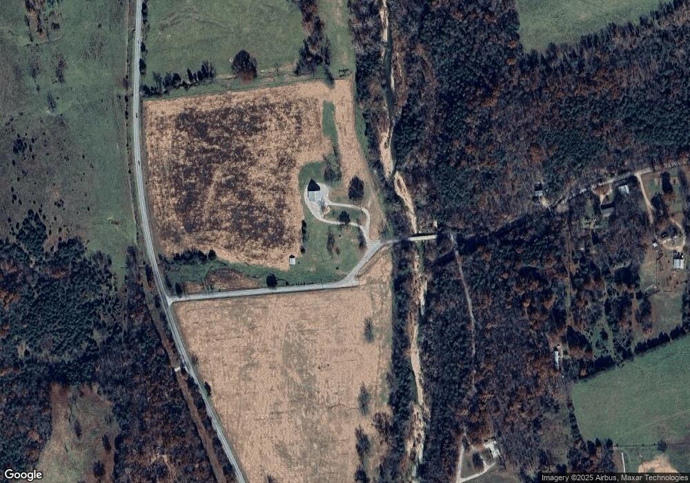
Map
Nearby Homes
- 7776 State Highway 39
- 26252 State Highway 248
- 000 State Highway 248-Tract 2
- 000 Farm Road 1182
- Tbd Farm Rd 1190
- 000 Farm Road 1190
- 22275 State Highway 248
- 10463 Farm Road 1182
- 21814 State Hwy 248
- 6535 Farm Road 1245
- 000 Farm Road 1245
- 24352 State Highway Ee
- 23211 Farm Road 2050
- Tract 1 Farm Road 1200
- 000 State Highway C
- 27255 Farm Road 2090
- 3644 State Highway Ww
- 4276 State Highway Ww
- Tract 2 Farm Road 1200
- 19358 Farm Road 2145