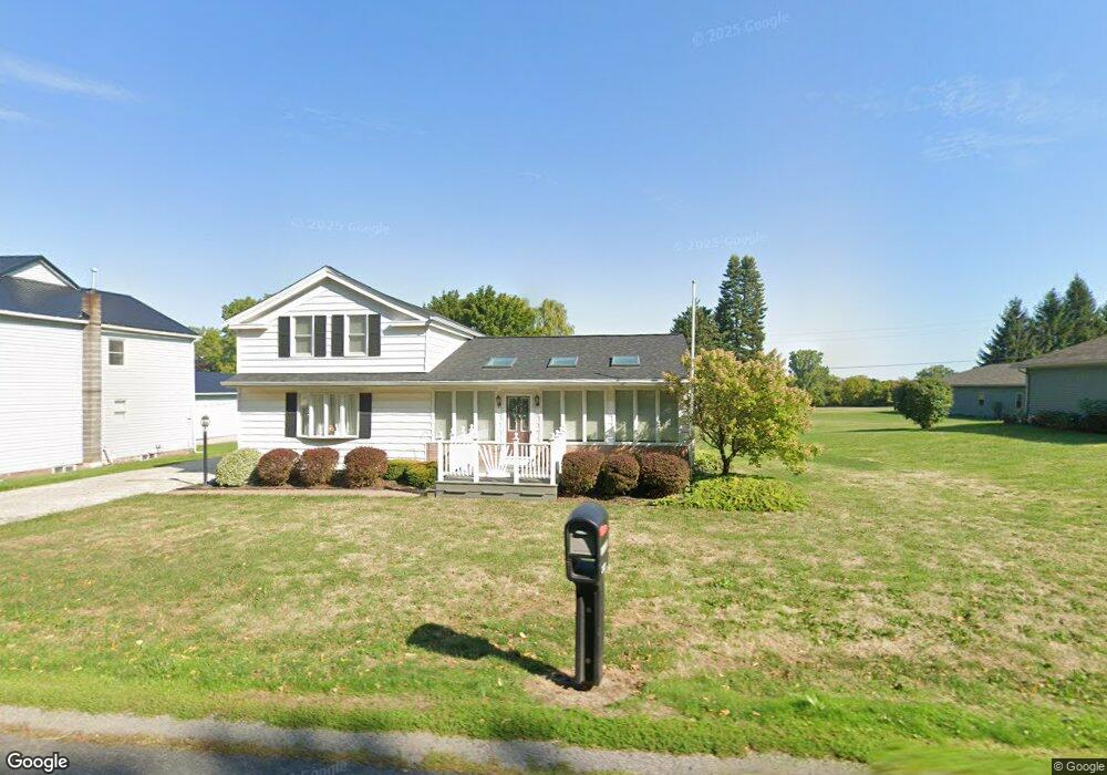
2121 Lewiston Rd Oakfield, NY 14125
Estimated Value: $215,000 - $263,000
3
Beds
1
Bath
1,640
Sq Ft
$145/Sq Ft
Est. Value
About This Home
This home is located at 2121 Lewiston Rd, Oakfield, NY 14125 and is currently estimated at $237,103, approximately $144 per square foot. 2121 Lewiston Rd is a home located in Genesee County with nearby schools including Oakfield-Alabama Elementary School and Oakfield-Alabama Middle/High School.
Ownership History
Date
Name
Owned For
Owner Type
Purchase Details
Closed on
Dec 4, 2018
Sold by
Fisher Kevin L and Fisher Dawn M
Bought by
Ranlett Jasonm and Ranlett Erika M
Current Estimated Value
Home Financials for this Owner
Home Financials are based on the most recent Mortgage that was taken out on this home.
Original Mortgage
$116,955
Outstanding Balance
$102,846
Interest Rate
4.9%
Mortgage Type
New Conventional
Estimated Equity
$134,257
Create a Home Valuation Report for This Property
The Home Valuation Report is an in-depth analysis detailing your home's value as well as a comparison with similar homes in the area
Home Values in the Area
Average Home Value in this Area
Purchase History
| Date | Buyer | Sale Price | Title Company |
|---|---|---|---|
| Ranlett Jasonm | $125,000 | -- | |
| Ranlett Jasonm | $125,000 | -- | |
| Ranlett Jasonm | $125,000 | -- |
Source: Public Records
Mortgage History
| Date | Status | Borrower | Loan Amount |
|---|---|---|---|
| Open | Ranlett Jasonm | $116,955 | |
| Closed | Ranlett Jasonm | $116,955 |
Source: Public Records
Tax History
| Year | Tax Paid | Tax Assessment Tax Assessment Total Assessment is a certain percentage of the fair market value that is determined by local assessors to be the total taxable value of land and additions on the property. | Land | Improvement |
|---|---|---|---|---|
| 2024 | $5,018 | $164,000 | $8,600 | $155,400 |
| 2023 | $5,097 | $160,000 | $8,600 | $151,400 |
| 2022 | $5,092 | $128,000 | $9,400 | $118,600 |
| 2021 | $5,032 | $128,000 | $9,400 | $118,600 |
| 2020 | $4,699 | $128,000 | $9,400 | $118,600 |
| 2019 | $3,297 | $128,000 | $9,400 | $118,600 |
| 2018 | $3,297 | $101,000 | $9,400 | $91,600 |
| 2017 | $3,090 | $101,000 | $9,400 | $91,600 |
| 2016 | $2,979 | $101,000 | $9,400 | $91,600 |
| 2015 | -- | $101,000 | $9,400 | $91,600 |
| 2014 | -- | $101,000 | $9,400 | $91,600 |
Source: Public Records
Map
Nearby Homes
- 6440 Knowlesville Rd
- 0 0 Knowlesville Rd
- 6242 Knowlesville Rd
- 6584 Alleghany Rd
- 6632 Albion Rd
- 34 Broadway St
- 18 Bennett Ave
- 42 Webber Ave
- 43 Garibaldi Ave
- 815 Lewiston Rd
- 5059 E Shelby Rd
- 3538 Drake Street Rd
- 2651 Pratt Rd
- 4929 Pine Hill Rd
- 3751 Batavia Elba Townline Rd
- 3233 Rd Unit B
- 4626 S Gravel Rd
- 5001 Salt Works Rd
- 4537 Baby Ln
- 14053 Gillette Rd
- 2117 Lewiston Rd
- 2129 Lewiston Rd
- 2135 Lewiston Rd
- 6520 Knowlesville Rd
- 2104 Lewiston Rd
- 6506 Knowlesville Rd
- 2093 Lewiston Rd
- 6554 Knowlesville Rd
- 2096 Lewiston Rd
- 6489 Knowlesville Rd
- 2077 Lewiston Rd
- 6564 Knowlesville Rd
- 2072 Lewiston Rd
- 2068 Lewiston Rd
- 6466 Knowlesville Rd
- 2050 Lewiston Rd
- 6594 Knowlesville Rd
- 6456 Knowlesville Rd
- 6450 Knowlesville Rd
- 6448 Knowlesville Rd
Your Personal Tour Guide
Ask me questions while you tour the home.