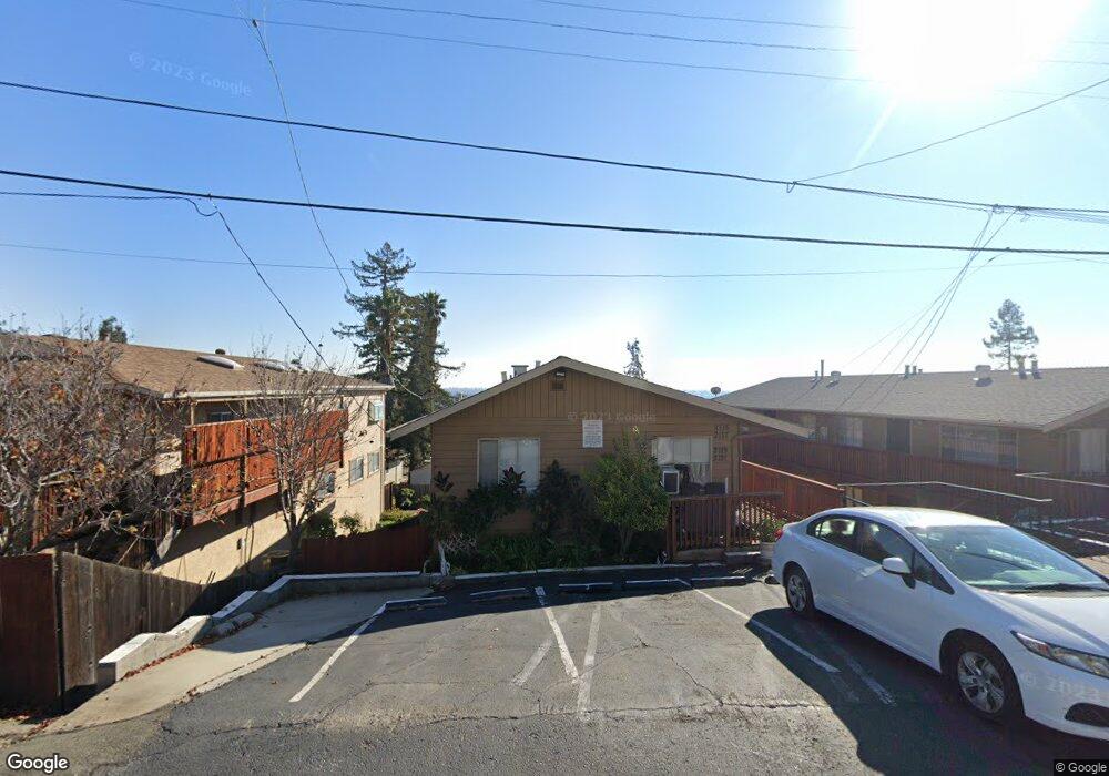
2121 Placer Dr San Leandro, CA 94578
Bay-O-Vista NeighborhoodEstimated Value: $843,000 - $1,849,000
4
Beds
4
Baths
2,585
Sq Ft
$462/Sq Ft
Est. Value
About This Home
This home is located at 2121 Placer Dr, San Leandro, CA 94578 and is currently estimated at $1,195,000, approximately $462 per square foot. 2121 Placer Dr is a home located in Alameda County with nearby schools including Corvallis Elementary School, Edendale Middle, and San Lorenzo High School.
Ownership History
Date
Name
Owned For
Owner Type
Purchase Details
Closed on
Mar 16, 2007
Sold by
Boyd Jeffrey A
Bought by
Boyd Elsie E and Elsie E Boyd Trust
Current Estimated Value
Purchase Details
Closed on
Oct 10, 2006
Sold by
Boyd Elsie E and Elsie E Boyd Trust
Bought by
Boyd Elsie E and Elsie E Boyd Trust
Purchase Details
Closed on
Aug 1, 2006
Sold by
Boyd Elsie E
Bought by
Boyd Elsie E and Elsie E Boyd Trust
Purchase Details
Closed on
Jan 25, 2001
Sold by
Pranckunas Waclaw and Norvid Wally
Bought by
Boyd James W and Boyd Elsie E
Create a Home Valuation Report for This Property
The Home Valuation Report is an in-depth analysis detailing your home's value as well as a comparison with similar homes in the area
Home Values in the Area
Average Home Value in this Area
Purchase History
| Date | Buyer | Sale Price | Title Company |
|---|---|---|---|
| Boyd Elsie E | -- | None Available | |
| Boyd Elsie E | -- | None Available | |
| Boyd Elsie E | -- | None Available | |
| Boyd James W | $82,000 | -- |
Source: Public Records
Tax History
| Year | Tax Paid | Tax Assessment Tax Assessment Total Assessment is a certain percentage of the fair market value that is determined by local assessors to be the total taxable value of land and additions on the property. | Land | Improvement |
|---|---|---|---|---|
| 2025 | $3,637 | $105,185 | $44,132 | $61,053 |
| 2024 | $3,637 | $103,122 | $43,266 | $59,856 |
| 2023 | $3,711 | $101,101 | $42,418 | $58,683 |
| 2022 | $3,558 | $99,118 | $41,586 | $57,532 |
| 2021 | $3,395 | $97,175 | $40,771 | $56,404 |
| 2020 | $3,234 | $96,179 | $40,353 | $55,826 |
| 2019 | $3,150 | $94,293 | $39,562 | $54,731 |
| 2018 | $2,922 | $92,444 | $38,786 | $53,658 |
| 2017 | $2,796 | $90,632 | $38,026 | $52,606 |
| 2016 | $2,662 | $88,855 | $37,280 | $51,575 |
| 2015 | $2,580 | $87,520 | $36,720 | $50,800 |
| 2014 | $2,524 | $85,806 | $36,001 | $49,805 |
Source: Public Records
Map
Nearby Homes
- 0 Saturn Dr
- 14670 Midland Rd
- 2245 Sol St
- 14644 Saturn Dr
- 14831 Bancroft Ave Unit Space 27
- 15675 Liberty St
- 1269 Gabriel Ct
- 1592 Oriole Ave
- 15065 Hesperian Blvd Unit 22
- 15933 Cambrian Dr
- 1521 159th Ave
- 0 Montrose Dr
- 1410 Thrush Ave Unit 3
- 14240 Rose Dr
- 475 Nabor St
- 16006 E 14th St Unit 101
- 890 Linwood Way
- 1672 162nd Ave
- 0 Lindview Dr
- 1316 135th Ave
Your Personal Tour Guide
Ask me questions while you tour the home.