21212 Shetland Dr N Forest Lake, MN 55025
Estimated Value: $246,000 - $251,000
3
Beds
3
Baths
1,485
Sq Ft
$168/Sq Ft
Est. Value
About This Home
This home is located at 21212 Shetland Dr N, Forest Lake, MN 55025 and is currently estimated at $248,835, approximately $167 per square foot. 21212 Shetland Dr N is a home located in Washington County with nearby schools including Forest View Elementary School, Forest Lake Area Middle School, and Forest Lake Area High School.
Ownership History
Date
Name
Owned For
Owner Type
Purchase Details
Closed on
Jan 23, 2018
Sold by
The Bank Of New York Mellon
Bought by
Baumgartner Bernhard and Baumgartner Christina
Current Estimated Value
Purchase Details
Closed on
May 19, 2016
Sold by
Borough Robin
Bought by
Valley View-Bridle Pass Association
Purchase Details
Closed on
Dec 30, 2005
Sold by
Main Street Bank
Bought by
Borough Robin
Create a Home Valuation Report for This Property
The Home Valuation Report is an in-depth analysis detailing your home's value as well as a comparison with similar homes in the area
Home Values in the Area
Average Home Value in this Area
Purchase History
| Date | Buyer | Sale Price | Title Company |
|---|---|---|---|
| Baumgartner Bernhard | $144,000 | Fidelity Land Title Agency | |
| Valley View-Bridle Pass Association | $5,853 | None Available | |
| Borough Robin | $189,900 | -- |
Source: Public Records
Tax History Compared to Growth
Tax History
| Year | Tax Paid | Tax Assessment Tax Assessment Total Assessment is a certain percentage of the fair market value that is determined by local assessors to be the total taxable value of land and additions on the property. | Land | Improvement |
|---|---|---|---|---|
| 2024 | $2,436 | $229,000 | $45,000 | $184,000 |
| 2023 | $2,436 | $224,200 | $42,000 | $182,200 |
| 2022 | $1,952 | $212,600 | $29,800 | $182,800 |
| 2021 | $1,922 | $171,200 | $24,000 | $147,200 |
| 2020 | $1,964 | $165,900 | $24,000 | $141,900 |
| 2019 | $1,842 | $166,600 | $24,000 | $142,600 |
| 2018 | $1,672 | $152,500 | $20,000 | $132,500 |
| 2017 | $1,616 | $144,000 | $17,500 | $126,500 |
| 2016 | $1,602 | $129,300 | $12,500 | $116,800 |
| 2015 | $1,288 | $112,500 | $15,000 | $97,500 |
| 2013 | -- | $105,300 | $15,100 | $90,200 |
Source: Public Records
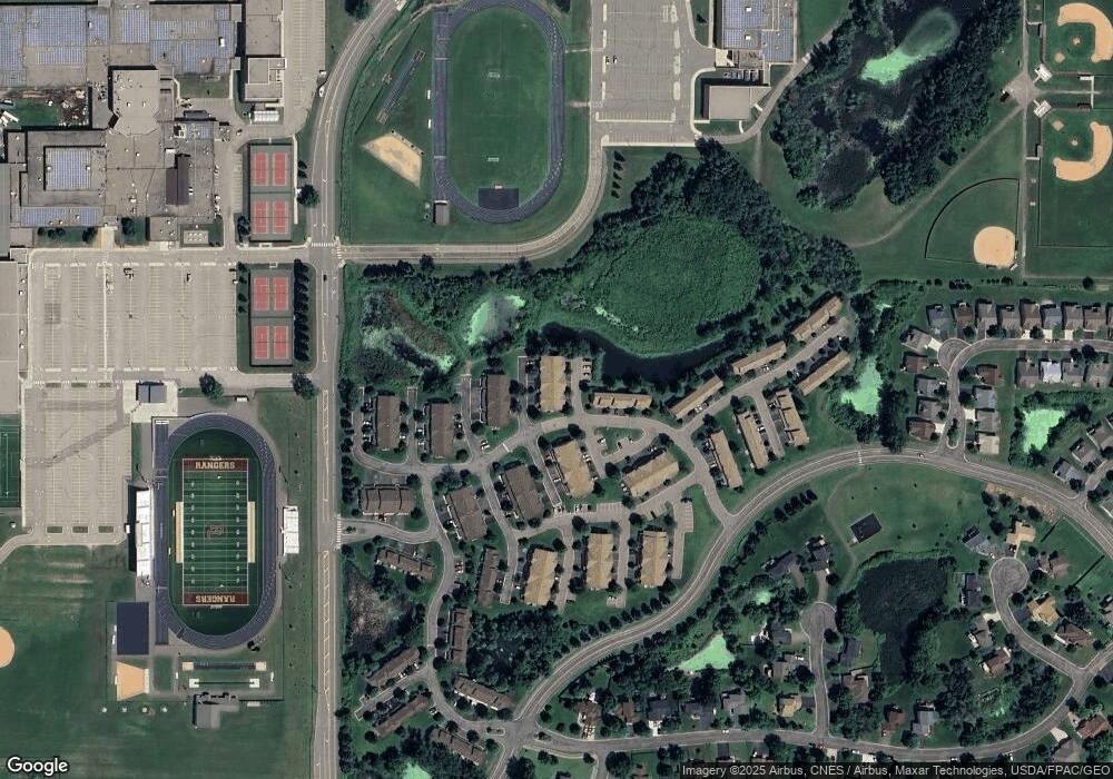
Map
Nearby Homes
- 21182 Paint Ln
- 21113 S Clydesdale Curve
- 6659 Lipizzan Trail
- 6254 209th St N
- 21231 Pasofino Cir N
- 20830 Georgia Ave N
- 6410 207th St N
- 6389 207th St N
- 46 Lee St
- 21145 Fondant Ave N
- XXXX N 207th St
- 20491 Goodvine Trail N
- 21140 Fondant Ave N
- 20924 Hardwood Rd N
- Raleigh Plan at Shadow Creek Estates
- 6231 205th St N
- 6292 205th St N
- St Clair Plan at Shadow Creek Estates
- 6289 205th St N
- 6225 205th St N
- 21218 Shetland Dr N
- 21204 Shetland Dr N
- 21213 N Morgan Dr
- 21219 N Morgan Dr
- 21219 Morgan Dr N
- 21205 N Morgan Dr
- 21219 21219 Morgan-Drive-n
- 21222 Shetland Dr N
- 21223 N Morgan Dr
- 6430 Saddlebred Way
- 21171 21171 N Morgan-Drive-
- 21210 N Morgan Dr
- 6436 Saddlebred Way
- 21218 N Morgan Dr
- 21170 Shetland Dr S
- 21204 N Morgan Dr
- 21170 21170 Shetland-Drive-s
- 21171 S Morgan Dr
- 6442 Saddlebred Way
- 21209 N Clydesdale Curve