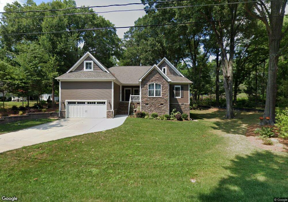
21225 Mccall St Cornelius, NC 28031
Estimated Value: $549,000 - $574,964
About This Home
This home is located at 21225 Mccall St, Cornelius, NC 28031 and is currently estimated at $566,241, approximately $219 per square foot. 21225 Mccall St is a home with nearby schools including Cornelius Elementary School, Bailey Middle School, and William Amos Hough High School.
Ownership History
We collect this data history from publicly available records. To have your information removed, we recommend requesting removal directly through your county’s website.
Purchase Details
Purchase Details
Home Financials for this Owner
Home Financials are based on the most recent Mortgage that was taken out on this home.Home Values in the Area
Average Home Value in this Area
Purchase History
We collect this data history from publicly available records. To have your information removed, we recommend requesting removal directly through your county’s website.
| Date | Buyer | Sale Price | Title Company |
|---|---|---|---|
| -- | None Available | ||
| $35,500 | None Available |
Mortgage History
We collect this data history from publicly available records. To have your information removed, we recommend requesting removal directly through your county’s website.
| Date | Status | Borrower | Loan Amount |
|---|---|---|---|
| Open | $314,699 |
Tax History
We collect this data history from publicly available records. To have your information removed, we recommend requesting removal directly through your county’s website.
| Year | Tax Paid | Tax Assessment Tax Assessment Total Assessment is a certain percentage of the fair market value that is determined by local assessors to be the total taxable value of land and additions on the property. | Land | Improvement |
|---|---|---|---|---|
| 2025 | $3,384 | $508,200 | $114,000 | $394,200 |
| 2024 | $3,384 | $508,200 | $114,000 | $394,200 |
| 2023 | $3,328 | $508,200 | $114,000 | $394,200 |
| 2022 | $2,474 | $286,800 | $37,500 | $249,300 |
| 2021 | $2,445 | $286,800 | $37,500 | $249,300 |
| 2020 | $2,445 | $286,800 | $37,500 | $249,300 |
| 2019 | $2,439 | $286,800 | $37,500 | $249,300 |
| 2018 | $968 | $0 | $0 | $0 |
Map
- 20392 Queens St
- 20396 Queens St
- 814 Twin Oaks Rd
- 710 Twin Oaks Rd
- 21024 Cornelius St Unit 303
- 21024 Cornelius St Unit 301
- 21024 Cornelius St Unit 404
- 19832 Mulberry St
- 20128 Zion Ave
- 18302 Victoria Bay Dr
- 523 Griffith Village Ln
- 335 Catawba Ave
- 21329 Catawba Ave
- 605 Village Main Cir
- 772 Cotton Gin Aly Unit 772
- 624 James Alexander Way
- 612 Walnut St
- 816 Cotton Gin Aly Unit 816
- 403 Catawba Ave
- 19917 Marina Village Dr
- 21217 Mccall St
- 20393 Queens St
- 21200 Mccall St
- 21309 Mccall St
- 00 Queens St
- 20397 Queens St
- at
- 21332 Mccall St
- 21210 Mccall St
- 21201 Mccall St
- 20320 Church St
- 20401 Queens St
- 21204 Mccall St
- 20400 Queens St
- 20405 Queens St
- 20406 Queens St
- 20400 Church St
- 20240 Church St
- 20240 Church St
- 20301 Church St
Ask me questions while you tour the home.