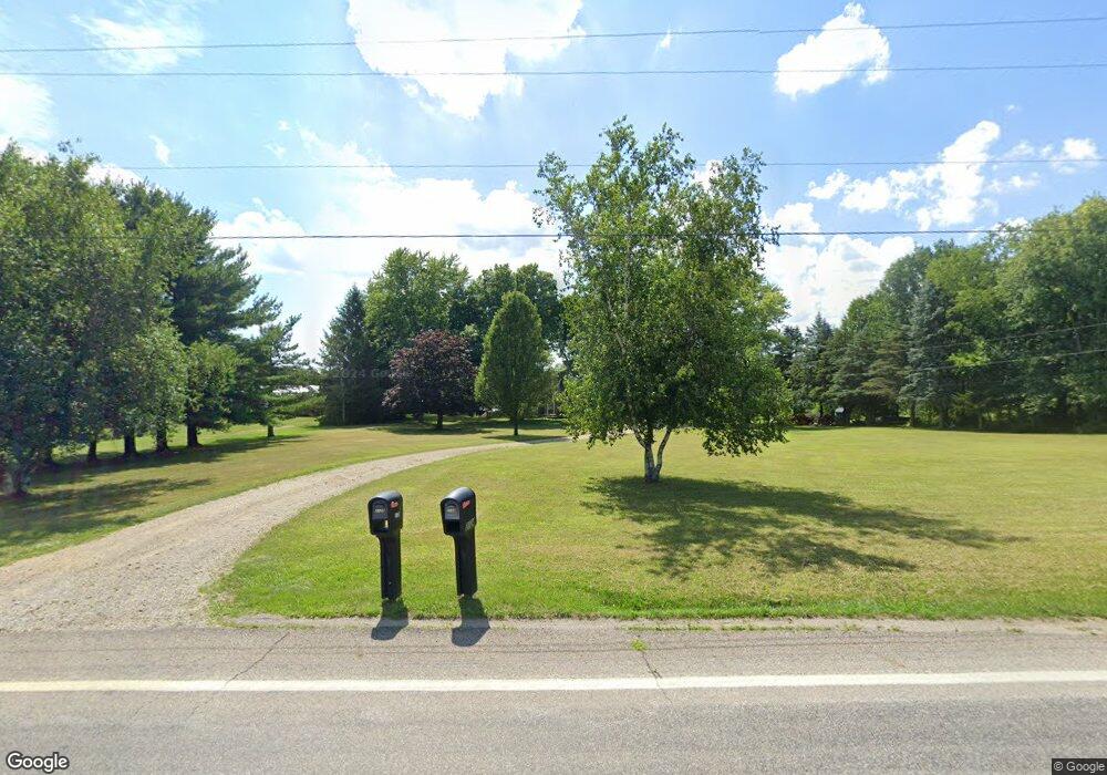
2124 State Route 511 Ashland, OH 44805
Estimated Value: $272,000 - $380,000
3
Beds
2
Baths
1,930
Sq Ft
$169/Sq Ft
Est. Value
About This Home
This home is located at 2124 State Route 511, Ashland, OH 44805 and is currently estimated at $325,569, approximately $168 per square foot. 2124 State Route 511 is a home located in Ashland County with nearby schools including Hillsdale Elementary School, Hillsdale Middle School, and Hillsdale High School.
Ownership History
Date
Name
Owned For
Owner Type
Purchase Details
Closed on
Mar 1, 2011
Bought by
Tomassetti James M
Current Estimated Value
Purchase Details
Closed on
Jan 11, 2011
Sold by
Westfield David M and Westfield Susan L
Purchase Details
Closed on
Aug 1, 2007
Sold by
Westfield David M
Bought by
Westfield David M
Purchase Details
Closed on
Jun 24, 1986
Bought by
Westfield David M
Create a Home Valuation Report for This Property
The Home Valuation Report is an in-depth analysis detailing your home's value as well as a comparison with similar homes in the area
Home Values in the Area
Average Home Value in this Area
Purchase History
| Date | Buyer | Sale Price | Title Company |
|---|---|---|---|
| Tomassetti James M | $113,800 | -- | |
| -- | $84,300 | -- | |
| Westfield David M | -- | -- | |
| Westfield David M | $71,000 | -- |
Source: Public Records
Tax History Compared to Growth
Tax History
| Year | Tax Paid | Tax Assessment Tax Assessment Total Assessment is a certain percentage of the fair market value that is determined by local assessors to be the total taxable value of land and additions on the property. | Land | Improvement |
|---|---|---|---|---|
| 2024 | $2,328 | $71,350 | $22,530 | $48,820 |
| 2023 | $2,328 | $71,350 | $22,530 | $48,820 |
| 2022 | $2,026 | $49,210 | $15,540 | $33,670 |
| 2021 | $2,029 | $49,210 | $15,540 | $33,670 |
| 2020 | $1,900 | $49,210 | $15,540 | $33,670 |
| 2019 | $1,845 | $46,890 | $14,010 | $32,880 |
| 2018 | $1,834 | $46,890 | $14,010 | $32,880 |
| 2017 | $1,836 | $46,890 | $14,010 | $32,880 |
| 2016 | $1,603 | $40,780 | $12,190 | $28,590 |
| 2015 | $1,583 | $40,780 | $12,190 | $28,590 |
| 2013 | $1,750 | $44,180 | $12,480 | $31,700 |
Source: Public Records
Map
Nearby Homes
- 1048 Township Road 2156
- 1106 County Road 30a
- 0 Township Road 925
- 820 County Road 30a
- 1183 County Road 30a
- 19 Maine St
- 0 Twp Rd 1806 Unit 11591470
- 150 E Main St
- 968 Township Road 2506
- 0 Ashland County Road 2175
- 0 Ashland County Road 2175
- 945 Pike Dr
- 0 Mount Zion Rd Unit 9069748
- 0 Applegate Rd
- 1015 Township Road 1696
- 1845 County Road 655
- 1690 County Road 995
- 3290 Shad Dr W
- 2124 State Route 511
- 2132 State Route 511
- 2114 State Route 511
- 2125 State Route 511
- 991 Twp Rd 2104
- 1001 County Road 2075
- 1005 County Road 2075
- 2135 State Route 511
- 1018 County Road 2075
- 991 Township Road 2104
- 1020 County Road 2075
- 1024 County Road 2075
- 1002 Township Road 2104
- 1002 Township Road 2104
- 1027 County Road 2075
- 2151 Ohio 511
- 2099 State Route 511
- 2099 Ohio 511
- 2156 Ohio 511
- 2095 State Route 511