2126 Oakland Ridge Dr Unit 3 Kalamazoo, MI 49008
Hill N Brook NeighborhoodEstimated Value: $311,656 - $397,000
3
Beds
3
Baths
2,150
Sq Ft
$164/Sq Ft
Est. Value
About This Home
This home is located at 2126 Oakland Ridge Dr Unit 3, Kalamazoo, MI 49008 and is currently estimated at $352,164, approximately $163 per square foot. 2126 Oakland Ridge Dr Unit 3 is a home located in Kalamazoo County with nearby schools including Woods Lake Elementary School, Milwood Magnet School, and Loy Norrix High School.
Ownership History
Date
Name
Owned For
Owner Type
Purchase Details
Closed on
Apr 14, 2014
Sold by
Chapman Richard A and Chapman Kathleen T
Bought by
Chapman Kathleen T and Kathleen T Chapman Revocable Trust
Current Estimated Value
Purchase Details
Closed on
Aug 25, 2011
Sold by
Pnc Bank Na
Bought by
Chapman Richard A and Chapman Kathleen T
Purchase Details
Closed on
Nov 26, 2003
Sold by
Kelly John T
Bought by
Kelly John T and The John T Kelly Revocable Trust
Purchase Details
Closed on
Jun 23, 2003
Sold by
Kelly Susan M
Bought by
Kelly John T
Create a Home Valuation Report for This Property
The Home Valuation Report is an in-depth analysis detailing your home's value as well as a comparison with similar homes in the area
Home Values in the Area
Average Home Value in this Area
Purchase History
| Date | Buyer | Sale Price | Title Company |
|---|---|---|---|
| Chapman Kathleen T | -- | None Available | |
| Chapman Richard A | $135,000 | Nations Title | |
| Kelly John T | -- | Nations Title Agency | |
| Kelly John T | -- | -- |
Source: Public Records
Tax History Compared to Growth
Tax History
| Year | Tax Paid | Tax Assessment Tax Assessment Total Assessment is a certain percentage of the fair market value that is determined by local assessors to be the total taxable value of land and additions on the property. | Land | Improvement |
|---|---|---|---|---|
| 2025 | $6,075 | $156,600 | $0 | $0 |
| 2024 | $2,517 | $149,100 | $0 | $0 |
| 2023 | $2,399 | $140,100 | $0 | $0 |
| 2022 | $5,510 | $126,400 | $0 | $0 |
| 2021 | $5,329 | $115,300 | $0 | $0 |
| 2020 | $5,228 | $103,500 | $0 | $0 |
| 2019 | $5,035 | $94,600 | $0 | $0 |
| 2018 | $4,919 | $81,900 | $0 | $0 |
| 2017 | $4,962 | $76,300 | $0 | $0 |
| 2016 | $4,962 | $76,300 | $0 | $0 |
| 2015 | $4,962 | $76,200 | $0 | $0 |
| 2014 | $4,962 | $73,300 | $0 | $0 |
Source: Public Records
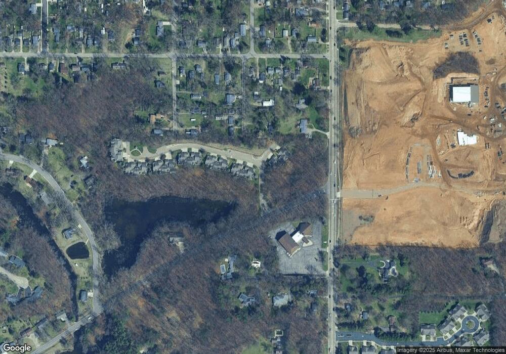
Map
Nearby Homes
- 3924 Oakland Dr
- 2306 Benton Ave
- 5093 Grand Arbre Trail
- 1901 Timberlane Dr
- 2701 Brookhaven Dr
- 1818 Greenbriar Dr
- 3316 Adams St
- 4417 Lake Forest Dr
- 4428 Bronson Blvd
- 3745 Cedaridge Rd
- 2920 Amherst Ave
- 3621 Bronson Blvd
- 2522 Kensington Dr
- 3316 Lowden St
- 2512 Wellington Rd
- 1122 Parker Ave
- 4040 Greenleaf Cir Unit 301
- 5037 Old Colony Rd
- 2610 Lorraine Ave
- 1028 Clover St
- 2130 Oakland Ridge Dr Unit 4
- 2122 Oakland Ridge Dr Unit 2
- 2118 Oakland Ridge Dr
- 4045 Kent Ave
- 4039 Kent Ave
- 2144 Oakland Ridge Dr Unit 6
- 4036 Oakland Dr
- 2148 Oakland Ridge Dr
- 2150 Oakland Ridge Dr Unit 8
- 4031 Kent Ave
- 2204 Oakland Ridge Dr Unit 9
- 2208 Oakland Ridge Dr Unit 10
- 4024 Oakland Dr
- 4038 Kent Ave
- 2212 Oakland Ridge Dr
- 4023 Kent Ave
- 4036 Kent Ave
- 4032 Kent Ave
- 2226 Oakland Ridge Dr
- 4024 Kent Ave