21278 State Highway 248 Aurora, MO 65605
Estimated Value: $244,000 - $258,000
1
Bed
1
Bath
1,339
Sq Ft
$187/Sq Ft
Est. Value
About This Home
This home is located at 21278 State Highway 248, Aurora, MO 65605 and is currently estimated at $249,940, approximately $186 per square foot. 21278 State Highway 248 is a home with nearby schools including Eunice Thomas Elementary School, Cassville Intermediate School, and Cassville Middle School.
Ownership History
Date
Name
Owned For
Owner Type
Purchase Details
Closed on
Jan 24, 2024
Sold by
Cantrell William A and Cantrell Rebecca L
Bought by
Federal Home Loan Mtg Corp and Cantrell
Current Estimated Value
Purchase Details
Closed on
Jan 19, 2010
Sold by
Handdock Francis Marion and Haddock Jean
Bought by
Haddock Francis Marion and Haddock Jean
Home Financials for this Owner
Home Financials are based on the most recent Mortgage that was taken out on this home.
Original Mortgage
$101,966
Interest Rate
5.08%
Mortgage Type
VA
Create a Home Valuation Report for This Property
The Home Valuation Report is an in-depth analysis detailing your home's value as well as a comparison with similar homes in the area
Home Values in the Area
Average Home Value in this Area
Purchase History
| Date | Buyer | Sale Price | Title Company |
|---|---|---|---|
| Federal Home Loan Mtg Corp | $27,423 | None Listed On Document | |
| Haddock Francis Marion | -- | Clear Title Nationwide Inc |
Source: Public Records
Mortgage History
| Date | Status | Borrower | Loan Amount |
|---|---|---|---|
| Previous Owner | Haddock Francis Marion | $101,966 |
Source: Public Records
Tax History Compared to Growth
Tax History
| Year | Tax Paid | Tax Assessment Tax Assessment Total Assessment is a certain percentage of the fair market value that is determined by local assessors to be the total taxable value of land and additions on the property. | Land | Improvement |
|---|---|---|---|---|
| 2025 | $918 | $22,178 | $3,400 | $18,778 |
| 2024 | $918 | $20,886 | $3,400 | $17,486 |
| 2023 | $917 | $20,886 | $3,400 | $17,486 |
| 2022 | $836 | $20,056 | $2,570 | $17,486 |
| 2021 | $836 | $19,036 | $1,550 | $17,486 |
| 2020 | $836 | $19,036 | $1,550 | $17,486 |
| 2018 | $672 | $15,892 | $1,414 | $14,478 |
| 2017 | $665 | $15,759 | $1,414 | $14,345 |
| 2016 | $622 | $14,543 | $1,224 | $13,319 |
| 2015 | -- | $14,543 | $1,224 | $13,319 |
| 2014 | -- | $14,436 | $1,212 | $13,224 |
| 2012 | -- | $0 | $0 | $0 |
Source: Public Records
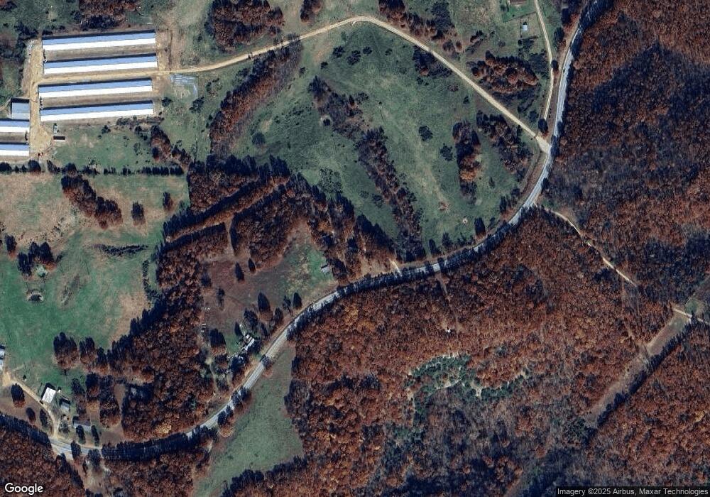
Map
Nearby Homes
- 21814 State Hwy 248
- 10463 Farm Road 1182
- 000 State Highway C
- 16090 Farm Road 2130
- 10412 State Highway O
- 10955 State Highway 39
- 14396 Farm Road 2140
- 000 State Highway 248-Tract 2
- 000 State Highway 248-Tract 1
- 0 Tbd State Highway 248-Tract 2
- 0 Tbd State Highway 248-Tract 1
- 000 Farm Road 1182
- 26252 State Highway 248
- 16478 Farm Road 1170
- 16257 Farm Road 2175
- 17370 Farm Road 1150
- 24352 State Highway Ee
- 000 Farm Road 1190
- Tbd Farm Rd 1190
- 22281 Farm Road 2180
- 21164 State Highway 248
- 20956 State Highway 248
- 21433 State Highway 248
- 12603 Farm Road 1195
- 21482 State Highway 248
- 20723 State Highway 248
- 20655 State Highway 248
- 21845 State Highway 248
- 20509 State Highway 248
- 20488 State Highway 248
- 21814 State Highway 248
- 13177 Farm Road 1195
- 21930 State Highway 248
- 12164 Farm Road 1182
- 12835 Farm Road 1182
- 20445 State Highway 248
- 20445 State Highway 248
- 20270 State Highway 248
- 13501 Farm Road 1195
- 22142 State Highway 248