213 Apache Cir Pulaski, TN 38478
Estimated Value: $161,000 - $221,070
Studio
--
Bath
1,125
Sq Ft
$168/Sq Ft
Est. Value
About This Home
This home is located at 213 Apache Cir, Pulaski, TN 38478 and is currently estimated at $188,768, approximately $167 per square foot. 213 Apache Cir is a home with nearby schools including Richland Elementary School and Richland School.
Ownership History
Date
Name
Owned For
Owner Type
Purchase Details
Closed on
Jul 25, 2025
Sold by
Pinkelton Bonnie C and Bledsoe Bonnie
Bought by
Reed Quinton Edward
Current Estimated Value
Home Financials for this Owner
Home Financials are based on the most recent Mortgage that was taken out on this home.
Original Mortgage
$133,000
Outstanding Balance
$132,774
Interest Rate
6.84%
Mortgage Type
New Conventional
Estimated Equity
$55,994
Purchase Details
Closed on
Dec 16, 1998
Sold by
Pinkelton Bonnie C
Bought by
Pinkleton Bonnie C
Purchase Details
Closed on
Aug 28, 1989
Bought by
Pinkelton Barry W and Pinkelton Bonnie C
Create a Home Valuation Report for This Property
The Home Valuation Report is an in-depth analysis detailing your home's value as well as a comparison with similar homes in the area
Purchase History
| Date | Buyer | Sale Price | Title Company |
|---|---|---|---|
| Reed Quinton Edward | $166,250 | Title & Escrow | |
| Reed Quinton Edward | $166,250 | Title & Escrow | |
| Pinkleton Bonnie C | -- | -- | |
| Pinkelton Barry W | $45,000 | -- |
Source: Public Records
Mortgage History
| Date | Status | Borrower | Loan Amount |
|---|---|---|---|
| Open | Reed Quinton Edward | $133,000 | |
| Closed | Reed Quinton Edward | $133,000 |
Source: Public Records
Tax History
| Year | Tax Paid | Tax Assessment Tax Assessment Total Assessment is a certain percentage of the fair market value that is determined by local assessors to be the total taxable value of land and additions on the property. | Land | Improvement |
|---|---|---|---|---|
| 2025 | $737 | $31,975 | $7,475 | $24,500 |
| 2024 | $635 | $31,975 | $7,475 | $24,500 |
| 2023 | $635 | $31,975 | $7,475 | $24,500 |
| 2022 | $635 | $31,975 | $7,475 | $24,500 |
| 2021 | $564 | $19,950 | $3,350 | $16,600 |
| 2020 | $564 | $19,950 | $3,350 | $16,600 |
| 2019 | $564 | $19,950 | $3,350 | $16,600 |
| 2018 | $564 | $19,950 | $3,350 | $16,600 |
| 2017 | $564 | $19,950 | $3,350 | $16,600 |
| 2016 | $575 | $19,350 | $3,125 | $16,225 |
| 2015 | $536 | $19,350 | $3,125 | $16,225 |
| 2014 | $536 | $19,358 | $0 | $0 |
Source: Public Records
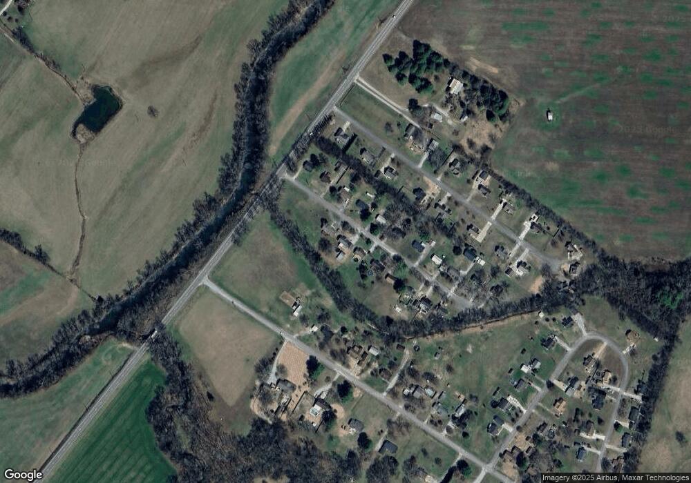
Map
Nearby Homes
- 220 Apache Cir
- 245 Sagewood Dr
- 265 Sagewood Dr
- 575 Haywood Creek Rd
- 203 Desperado Ave
- 216 Desperado Ave
- 202 Desperado Ave
- 1 Haywood Creek Rd
- 5 Haywood Creek Rd
- 2 Haywood Creek Rd
- 0 Shady Ln Unit RTC2914418
- 3420 Clear Creek Rd
- 807 Clear Creek Rd
- 3059 Clear Creek Rd
- 2921 Clear Creek Rd
- 411 Mountain View Dr
- 1 Ball Hollow Rd
- 187 Garland Dr
- 680 Morrell Rd
- 190 Johnson Rd
- 209 Apache Cir
- 211 Apache Cir
- 206 Apache Cir
- 215 Apache Cir
- 204 Apache Cir
- 208 Apache Cir
- 217 Apache Cir
- 212 Apache Cir
- 202 Apache Cir
- 218 Sagewood Dr
- 221 Apache Cir
- 200 Apache Cir
- 192 Sagewood Dr
- 240 Sagewood Dr
- 203 Haywood Creek Rd
- 225 Apache Cir
- 182 Sagewood Dr
- 250 Sagewood Dr
- 224 Apache Cir
- 207 Haywood Creek Rd
Your Personal Tour Guide
Ask me questions while you tour the home.