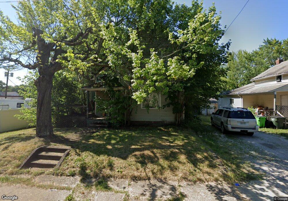
213 E Grant St Alliance, OH 44601
Estimated Value: $52,000 - $148,000
4
Beds
2
Baths
1,952
Sq Ft
$44/Sq Ft
Est. Value
About This Home
This home is located at 213 E Grant St, Alliance, OH 44601 and is currently estimated at $86,283, approximately $44 per square foot. 213 E Grant St is a home located in Stark County with nearby schools including Alliance Intermediate School at Northside, Alliance Elementary School at Rockhill, and Alliance Middle School.
Ownership History
Date
Name
Owned For
Owner Type
Purchase Details
Closed on
May 23, 2007
Sold by
American General Financial Inc
Bought by
Berardi Robert T
Current Estimated Value
Purchase Details
Closed on
Feb 5, 2007
Sold by
Albert Stephen J
Bought by
American General Financial Services
Purchase Details
Closed on
Mar 6, 2003
Sold by
Albert Patricia J
Bought by
Albert Stephen J
Purchase Details
Closed on
Nov 15, 2000
Sold by
Albert Stephen J
Bought by
Albert Patricia J
Purchase Details
Closed on
Jun 4, 1992
Create a Home Valuation Report for This Property
The Home Valuation Report is an in-depth analysis detailing your home's value as well as a comparison with similar homes in the area
Home Values in the Area
Average Home Value in this Area
Purchase History
| Date | Buyer | Sale Price | Title Company |
|---|---|---|---|
| Berardi Robert T | $6,000 | First Title Corp | |
| American General Financial Services | -- | Attorney | |
| Albert Stephen J | -- | Union Title Co | |
| Albert Patricia J | -- | -- | |
| -- | $7,000 | -- |
Source: Public Records
Tax History
| Year | Tax Paid | Tax Assessment Tax Assessment Total Assessment is a certain percentage of the fair market value that is determined by local assessors to be the total taxable value of land and additions on the property. | Land | Improvement |
|---|---|---|---|---|
| 2025 | -- | $9,350 | $3,500 | $5,850 |
| 2024 | $217 | $9,350 | $3,500 | $5,850 |
| 2023 | $989 | $9,320 | $1,930 | $7,390 |
| 2022 | $586 | $9,320 | $1,930 | $7,390 |
| 2021 | $737 | $9,320 | $1,930 | $7,390 |
| 2020 | $361 | $8,120 | $1,680 | $6,440 |
| 2019 | $356 | $8,120 | $1,680 | $6,440 |
Source: Public Records
Map
Nearby Homes
- 726 S Arch Ave
- 234 Rosenberry St
- 231 Rosenberry St
- 226 Milner St
- 452 E Summit St
- 46 Rosenberry St
- 134 11th St
- 807 S Union Ave
- 167 11th St
- 0 E Oxford St
- 62 E High St
- 427 S Union Ave
- V/L S Freedom Ave
- 442 S Liberty Ave
- 203 Glamorgan St
- 1350 S Freedom Ave
- 935 S Morgan Ave
- 621 S Haines Ave
- 955 E Summit St
- 233 Shadyside Ct
- 203 E Grant St
- 214 Williams Place
- 206 Williams Place
- 189 E Grant St
- 177 E Grant St
- 762 S Mechanic Ave
- 169 E Grant St
- 248 E Grant St
- 178 E Grant St
- 213 Williams Place
- 205 Williams Place
- 165 E Grant St
- 183 Williams Place
- 771 S Arch Ave
- 170 E Grant St
- 742 S Mechanic Ave
- 175 Williams Place
- 149 E Grant St
- 757 S Mechanic Ave
- 234 E Grant St
Your Personal Tour Guide
Ask me questions while you tour the home.