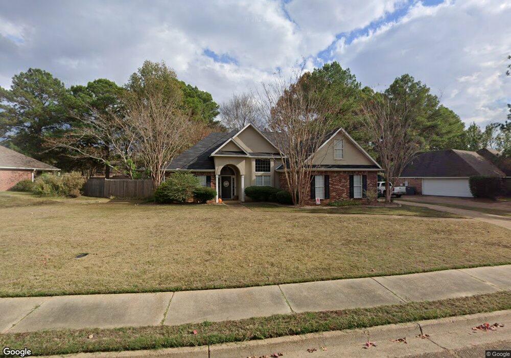
213 Farmers Row Madison, MS 39110
Estimated Value: $280,000 - $312,000
3
Beds
2
Baths
1,592
Sq Ft
$183/Sq Ft
Est. Value
About This Home
This home is located at 213 Farmers Row, Madison, MS 39110 and is currently estimated at $291,058, approximately $182 per square foot. 213 Farmers Row is a home located in Madison County with nearby schools including Mannsdale Elementary School, Germantown Middle School, and Germantown High School.
Ownership History
Date
Name
Owned For
Owner Type
Purchase Details
Closed on
Dec 10, 2014
Sold by
Ts North Properties Llc
Bought by
Ware Kenneth Dustin
Current Estimated Value
Home Financials for this Owner
Home Financials are based on the most recent Mortgage that was taken out on this home.
Original Mortgage
$170,848
Outstanding Balance
$129,016
Interest Rate
3.62%
Mortgage Type
FHA
Estimated Equity
$162,042
Purchase Details
Closed on
Nov 19, 2010
Sold by
Kinkade Gary and Kinkade Leigh
Bought by
Ts North Properties Llc
Purchase Details
Closed on
Nov 1, 2006
Sold by
Varner Jennifer Lyle and Varner Bradlee
Bought by
Kinkade Gary
Create a Home Valuation Report for This Property
The Home Valuation Report is an in-depth analysis detailing your home's value as well as a comparison with similar homes in the area
Home Values in the Area
Average Home Value in this Area
Purchase History
| Date | Buyer | Sale Price | Title Company |
|---|---|---|---|
| Ware Kenneth Dustin | -- | None Available | |
| Ts North Properties Llc | -- | None Available | |
| Kinkade Gary | -- | None Available |
Source: Public Records
Mortgage History
| Date | Status | Borrower | Loan Amount |
|---|---|---|---|
| Open | Ware Kenneth Dustin | $170,848 |
Source: Public Records
Tax History
| Year | Tax Paid | Tax Assessment Tax Assessment Total Assessment is a certain percentage of the fair market value that is determined by local assessors to be the total taxable value of land and additions on the property. | Land | Improvement |
|---|---|---|---|---|
| 2025 | $1,490 | $15,605 | $0 | $0 |
| 2024 | $1,490 | $15,605 | $0 | $0 |
| 2023 | $1,490 | $15,605 | $0 | $0 |
| 2022 | $1,490 | $15,605 | $0 | $0 |
| 2021 | $1,396 | $15,053 | $0 | $0 |
| 2020 | $1,216 | $15,053 | $0 | $0 |
| 2019 | $1,216 | $15,053 | $0 | $0 |
| 2018 | $1,216 | $15,053 | $0 | $0 |
| 2017 | $1,193 | $14,831 | $0 | $0 |
| 2016 | $1,193 | $14,831 | $0 | $0 |
| 2015 | $1,134 | $14,831 | $0 | $0 |
| 2014 | $2,144 | $22,178 | $0 | $0 |
Source: Public Records
Map
Nearby Homes
- 228 Farmers Row
- 201 Harvest Cove
- 101 Hayfield Place
- 102 Wagner Way
- 326 Distribution Dr Lot: G
- 137 Owen St
- 1008 Belle Terre Ln
- 106 Muirfield Place
- 174 Catlett Rd
- 151 Millhouse Dr
- 115 Belle Terre Dr
- 224 Stillhouse Creek Dr
- 135 Palin Dr
- 114 Essen Ln
- 128 Lakeway Dr
- 122 Palin Dr
- 205 Lakecrest Dr
- 207 Lakecrest Dr
- 104 Shore View Cove
- 129 Stillhouse Creek Dr
- 215 Farmers Row
- 211 Farmers Row
- 107 Cotton Cove
- 109 Cotton Cove
- 212 Farmers Row
- 210 Farmers Row
- 214 Farmers Row
- 217 Farmers Row
- 209 Farmers Row
- 306 Farmers Cove
- 216 Farmers Row
- 105 Cotton Cove
- 111 Cotton Cove
- 205 Farmers Row
- 219 Farmers Row
- 218 Farmers Row
- 103 Cotton Cove
- 203 Farmers Row
- 300 Farmers Cove
- 304 Farmers Cove
Your Personal Tour Guide
Ask me questions while you tour the home.