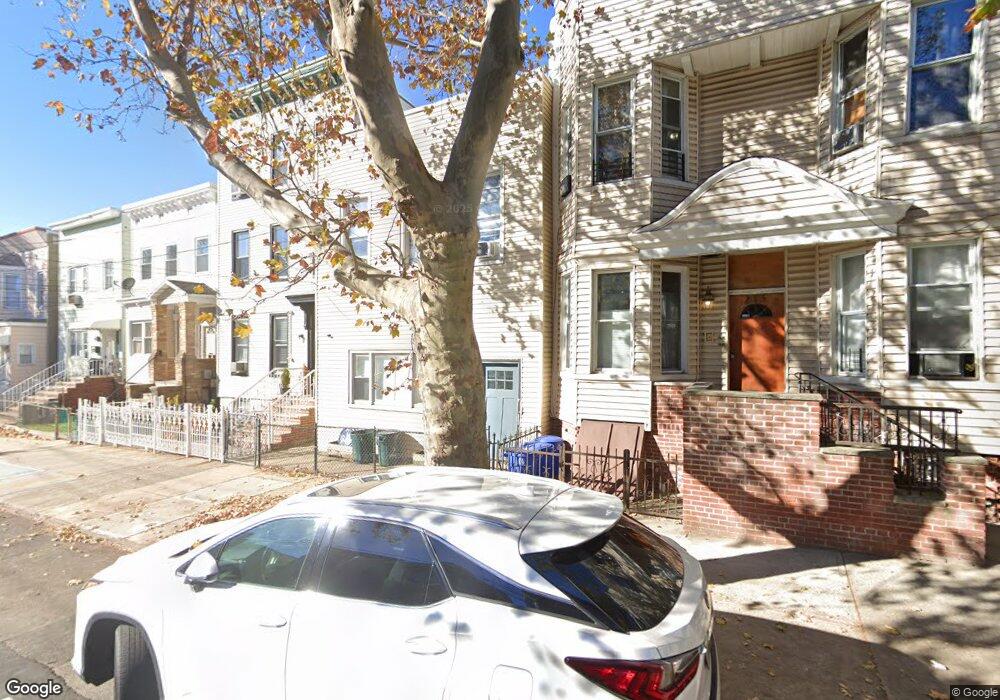
213 Hancock Ave Unit 1 Jersey City, NJ 07307
The Heights NeighborhoodEstimated Value: $731,000 - $1,083,000
2
Beds
1
Bath
1,200
Sq Ft
$744/Sq Ft
Est. Value
About This Home
This home is located at 213 Hancock Ave Unit 1, Jersey City, NJ 07307 and is currently estimated at $892,256, approximately $743 per square foot. 213 Hancock Ave Unit 1 is a home located in Hudson County with nearby schools including Christa McAuliffe School, William L. Dickinson High School, and Dr Ronald McNair High School.
Ownership History
Date
Name
Owned For
Owner Type
Purchase Details
Closed on
Nov 15, 2014
Sold by
Rees Jennifer and Rees David
Bought by
Galorenzo Michael
Current Estimated Value
Purchase Details
Closed on
Dec 3, 2003
Sold by
Persaud Harry
Bought by
Rees David and Rees Jennifer
Home Financials for this Owner
Home Financials are based on the most recent Mortgage that was taken out on this home.
Original Mortgage
$235,800
Interest Rate
5.82%
Mortgage Type
Purchase Money Mortgage
Purchase Details
Closed on
Aug 26, 2003
Sold by
Gato Real Assets Inc
Bought by
Persaud Harry
Purchase Details
Closed on
Oct 30, 1998
Sold by
Sause Richard A and Sause Carol Ann
Bought by
Fernandez Ralph and Fernandez Jannilet
Home Financials for this Owner
Home Financials are based on the most recent Mortgage that was taken out on this home.
Original Mortgage
$89,417
Interest Rate
6.65%
Mortgage Type
FHA
Create a Home Valuation Report for This Property
The Home Valuation Report is an in-depth analysis detailing your home's value as well as a comparison with similar homes in the area
Home Values in the Area
Average Home Value in this Area
Purchase History
| Date | Buyer | Sale Price | Title Company |
|---|---|---|---|
| Galorenzo Michael | $340,000 | Acres Land Title Agency Llc | |
| Rees David | $262,000 | -- | |
| Persaud Harry | $180,000 | -- | |
| Fernandez Ralph | $89,500 | -- |
Source: Public Records
Mortgage History
| Date | Status | Borrower | Loan Amount |
|---|---|---|---|
| Previous Owner | Rees David | $235,800 | |
| Previous Owner | Fernandez Ralph | $89,417 |
Source: Public Records
Tax History Compared to Growth
Tax History
| Year | Tax Paid | Tax Assessment Tax Assessment Total Assessment is a certain percentage of the fair market value that is determined by local assessors to be the total taxable value of land and additions on the property. | Land | Improvement |
|---|---|---|---|---|
| 2025 | $9,801 | $438,900 | $240,000 | $198,900 |
| 2024 | $9,862 | $438,900 | $240,000 | $198,900 |
| 2023 | $9,862 | $438,900 | $240,000 | $198,900 |
| 2022 | $9,296 | $438,900 | $240,000 | $198,900 |
| 2021 | $7,040 | $438,900 | $240,000 | $198,900 |
| 2020 | $7,066 | $438,900 | $240,000 | $198,900 |
| 2019 | $6,759 | $438,900 | $240,000 | $198,900 |
| 2018 | $1,457 | $438,900 | $240,000 | $198,900 |
| 2017 | $7,636 | $97,900 | $20,000 | $77,900 |
| 2016 | $7,539 | $97,900 | $20,000 | $77,900 |
| 2015 | $7,325 | $97,900 | $20,000 | $77,900 |
| 2014 | $7,278 | $97,900 | $20,000 | $77,900 |
Source: Public Records
Map
Nearby Homes
- 244 Sherman Ave Unit A
- 464 Central Ave Unit A5
- 192 Cambridge Ave Unit 3
- 192 Cambridge Ave Unit 2
- 295 Webster Ave
- 241 Cambridge Ave
- 334 Webster Ave
- 371 New York Ave Unit 2
- 433 Central Ave Unit 3B
- 433 Central Ave Unit PH4
- 433 Central Ave Unit PH5
- 361 New York Ave
- 214 Sherman Ave Unit 1
- 502 Central Ave Unit D1
- 364 New York Ave
- 270 Webster Ave
- 372 Webster Ave
- 583 Palisade Ave
- 581 Palisade Ave
- 27 Graham St
- 213 Hancock Ave
- 211 Hancock Ave
- 211 Hancock Ave Unit 3
- 215 Hancock Ave
- 215 Hancock Ave Unit 1L
- 215 Hancock Ave Unit 2L
- 217 Hancock Ave
- 209 Hancock Ave
- 209 Hancock Ave Unit 2F
- 209 Hancock Ave Unit 1F
- 219 Hancock Ave
- 219 Hancock Ave Unit 2
- 219 Hancock Ave Unit 1
- 207 Hancock Ave
- 214 Cambridge Ave Unit 1
- 214 Cambridge Ave
- 212 Cambridge Ave
- 212 Cambridge Ave Unit 1
- 205 Hancock Ave
- 205 Hancock Ave Unit 2