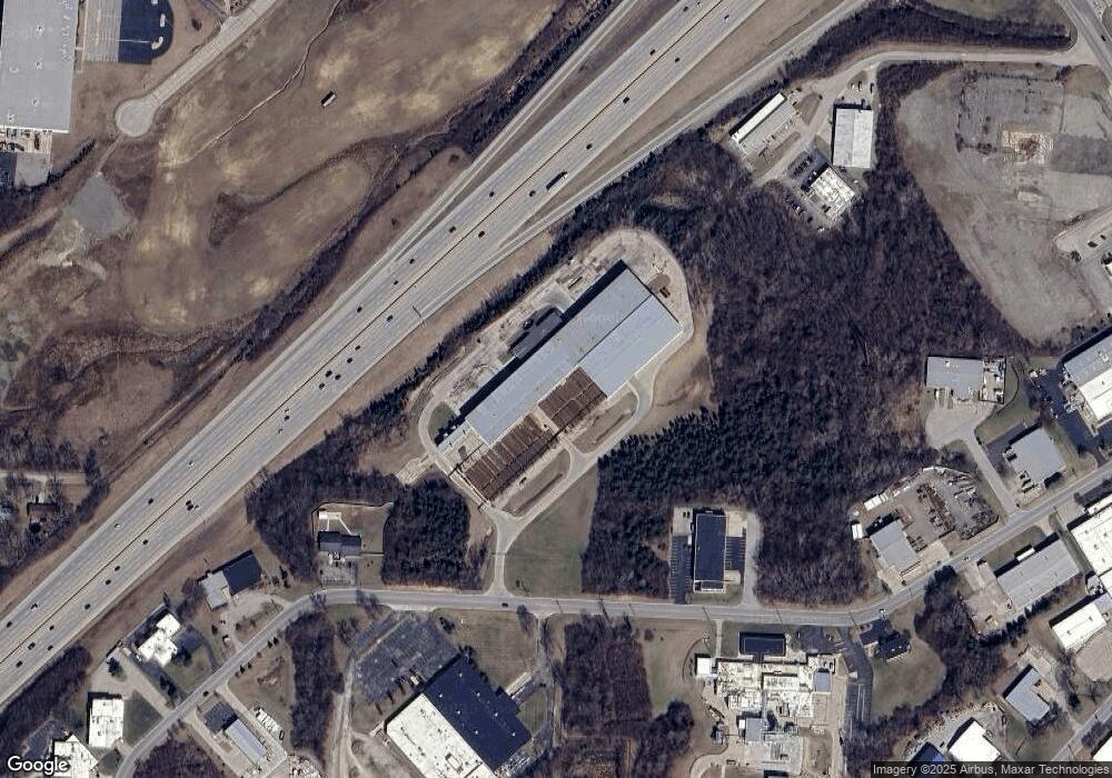
213 Industrial Dr Franklin, OH 45005
Estimated Value: $11,759,190
--
Bed
--
Bath
161,525
Sq Ft
$73/Sq Ft
Est. Value
About This Home
This home is located at 213 Industrial Dr, Franklin, OH 45005 and is currently estimated at $11,759,190, approximately $72 per square foot. 213 Industrial Dr is a home located in Warren County with nearby schools including Franklin High School.
Ownership History
Date
Name
Owned For
Owner Type
Purchase Details
Closed on
Nov 28, 2016
Sold by
Dhh Morris Llc
Bought by
Allied Properties Inc
Current Estimated Value
Purchase Details
Closed on
Feb 18, 1997
Sold by
Gann James F
Bought by
Mph Crane Inc
Purchase Details
Closed on
Jun 5, 1995
Sold by
Heldon Group
Bought by
Gann James F and Gann F
Home Financials for this Owner
Home Financials are based on the most recent Mortgage that was taken out on this home.
Original Mortgage
$6,500,000
Interest Rate
8.26%
Mortgage Type
Commercial
Purchase Details
Closed on
Mar 29, 1989
Sold by
Gabbard Gabbard and Gabbard Lydia
Bought by
Peeler Peeler and Peeler John G
Purchase Details
Closed on
May 4, 1981
Sold by
Gabbard Gabbard and Gabbard Earl
Create a Home Valuation Report for This Property
The Home Valuation Report is an in-depth analysis detailing your home's value as well as a comparison with similar homes in the area
Home Values in the Area
Average Home Value in this Area
Purchase History
| Date | Buyer | Sale Price | Title Company |
|---|---|---|---|
| Allied Properties Inc | $1,100,233 | Attorney | |
| Allied Properties Inc | $2,049,800 | Attorney | |
| Mph Crane Inc | $4,000,000 | -- | |
| Gann James F | $348,938 | -- | |
| Peeler Peeler | $85,000 | -- | |
| -- | -- | -- |
Source: Public Records
Mortgage History
| Date | Status | Borrower | Loan Amount |
|---|---|---|---|
| Previous Owner | Gann James F | $6,500,000 |
Source: Public Records
Tax History Compared to Growth
Tax History
| Year | Tax Paid | Tax Assessment Tax Assessment Total Assessment is a certain percentage of the fair market value that is determined by local assessors to be the total taxable value of land and additions on the property. | Land | Improvement |
|---|---|---|---|---|
| 2024 | $72,815 | $1,299,430 | $135,880 | $1,163,550 |
| 2023 | $72,627 | $1,172,969 | $123,529 | $1,049,440 |
| 2022 | $73,278 | $1,172,969 | $123,529 | $1,049,440 |
| 2021 | $70,340 | $1,172,969 | $123,529 | $1,049,440 |
| 2020 | $76,998 | $1,172,969 | $123,529 | $1,049,440 |
| 2019 | $71,100 | $1,172,969 | $123,529 | $1,049,440 |
| 2018 | $71,163 | $1,172,969 | $123,529 | $1,049,440 |
| 2017 | $58,195 | $941,864 | $123,529 | $818,335 |
| 2016 | $53,161 | $841,589 | $123,529 | $718,060 |
| 2015 | $53,093 | $841,589 | $123,529 | $718,060 |
| 2014 | $53,005 | $841,590 | $123,530 | $718,060 |
| 2013 | $45,565 | $841,590 | $123,530 | $718,060 |
Source: Public Records
Map
Nearby Homes
- 0 Kathy Ln Unit 1834240
- 0 Kathy Ln Unit 930066
- 60 Pleasant Hill Blvd
- 25 Timber Creek Dr
- 187 Minnick St
- 206 Meadow Dr
- 200 Meadow Dr
- 220 Pleasant Hill Blvd
- 5756 Union Rd
- 218 Roberts Ave
- 16 Harding Ct
- 22 Green Meadow Ct
- 191 Lakeview Dr
- 1010 S Main St
- 1117 S Main St
- 441 Sunnybrook Dr
- 388 Thomas Dr
- 1007 S River St
- 1200 Riley Blvd
- 452 Greenup Ct
- 201 Industrial Dr
- 201 Industrial Dr Unit 201-203
- 1401 Industrial Dr
- 1400 Industrial Dr
- 235 Industrial Dr
- 5393 E Decker Rd
- 140 Industrial Dr
- 5411 E Decker Rd
- 203 Industrial Dr
- 5429 E Decker Rd
- 259 Industrial Dr
- 5445 E Decker Rd
- State Route 123 Ohio 123
- 27 Cincinnati Dayton Rd
- 2698 N St Rt 123
- 150 Vaughn Ln
- 2606 Ohio 122
- 3187 Beach Ct
- 5477 E Decker Rd
- 5490 E Decker Rd