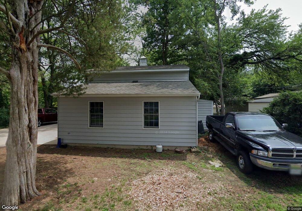
213 List Ave Pasadena, MD 21122
Estimated Value: $490,000 - $644,000
Studio
1
Bath
1,194
Sq Ft
$472/Sq Ft
Est. Value
About This Home
This home is located at 213 List Ave, Pasadena, MD 21122 and is currently estimated at $562,984, approximately $471 per square foot. 213 List Ave is a home located in Anne Arundel County with nearby schools including Pasadena Elementary School, Chesapeake Bay Middle School, and Chesapeake High School.
Ownership History
Date
Name
Owned For
Owner Type
Purchase Details
Closed on
Nov 13, 2023
Sold by
Emily J Carter Revocable Trust
Bought by
Emily J Carter Revocable Trust and Carter
Current Estimated Value
Purchase Details
Closed on
Feb 21, 2023
Sold by
Mitchell Emily Carter
Bought by
Emily J Carter Revocable Trust and Emily C Mitchell Revocable Trust
Purchase Details
Closed on
Apr 16, 2001
Sold by
Mitchell William A
Bought by
Mitchell William A and Mitchell Emily Carter
Purchase Details
Closed on
Aug 25, 1986
Sold by
Jones C H
Bought by
Mitchell William A
Create a Home Valuation Report for This Property
The Home Valuation Report is an in-depth analysis detailing your home's value as well as a comparison with similar homes in the area
Home Values in the Area
Average Home Value in this Area
Purchase History
| Date | Buyer | Sale Price | Title Company |
|---|---|---|---|
| Emily J Carter Revocable Trust | -- | None Listed On Document | |
| Emily J Carter Revocable Trust | -- | None Listed On Document | |
| Emily J Carter Revocable Trust | -- | -- | |
| Mitchell William A | -- | -- | |
| Mitchell William A | $182,900 | -- |
Source: Public Records
Tax History
| Year | Tax Paid | Tax Assessment Tax Assessment Total Assessment is a certain percentage of the fair market value that is determined by local assessors to be the total taxable value of land and additions on the property. | Land | Improvement |
|---|---|---|---|---|
| 2025 | $7,411 | $640,300 | -- | -- |
| 2024 | $7,411 | $638,800 | $497,300 | $141,500 |
Source: Public Records
Map
Nearby Homes
- 455 Community Rd
- 450 Oak Rd
- 229 Beachwood Rd
- 336 Magothy Bridge Rd
- 32 Nicholson Dr
- 5 Gene Ave
- 7 Gene Ave
- 296 Berkeley Dr
- 8270 Edwin Raynor Blvd
- 241 Armstrong Ln
- 346 Woodland Rd
- 303 Maro Rd
- 352 Riverside Dr
- 720 Bridge Dr
- 201 Southwood Rd
- 325 Beach Ave
- 263 Riverdale Rd
- 342 Beach Ave
- 303 North Dr
- 928 Beales Trail
- 217 List Ave
- 221 List Ave
- 209 Sutton Wick Rd
- 565 Sunset Knoll Rd
- 100 Sutton Wick Rd
- 225 List Ave
- 210 List Ave
- 563 Sunset Knoll Rd
- 229 List Ave
- 102 Sutton Wick Rd
- 568 Sunset Knoll Rd
- 224 List Ave
- 501 Pilot Ln
- 233 List Ave
- 566 Sunset Knoll Rd
- 106 Sutton Wick Rd
- 500 Pilot Ln
- 228 List Ave
- 235 List Ave
- 237 List Ave
Your Personal Tour Guide
Ask me questions while you tour the home.