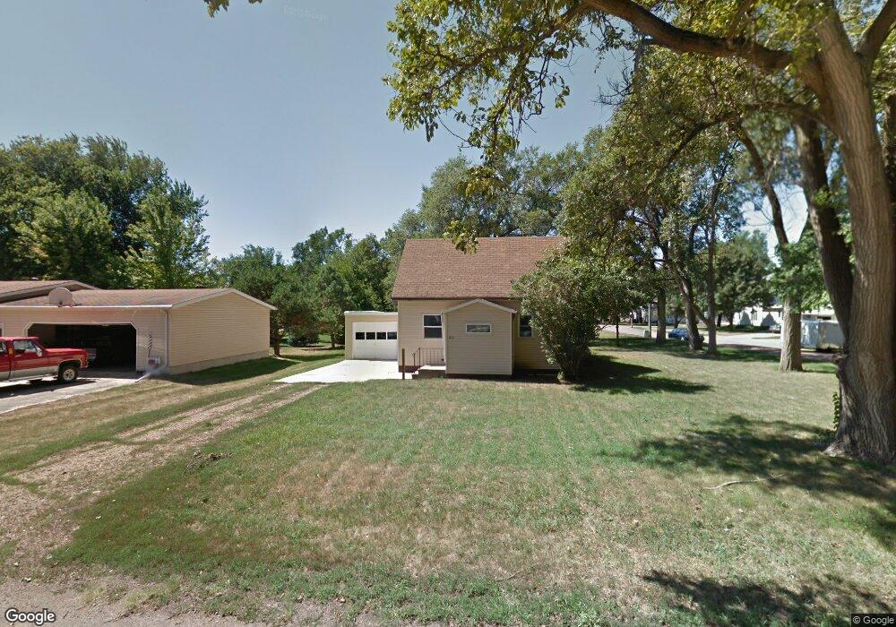
213 North St Viborg, SD 57070
Estimated Value: $87,000 - $227,000
2
Beds
1
Bath
768
Sq Ft
$172/Sq Ft
Est. Value
About This Home
This home is located at 213 North St, Viborg, SD 57070 and is currently estimated at $132,440, approximately $172 per square foot. 213 North St is a home located in Turner County with nearby schools including Viborg-Hurley Elementary School, Cameron Colony Elementary School, and Viborg-Hurley Middle School.
Ownership History
Date
Name
Owned For
Owner Type
Purchase Details
Closed on
May 29, 2015
Sold by
Troy T
Bought by
Taylor Samantha M
Current Estimated Value
Purchase Details
Closed on
May 21, 2009
Sold by
The Bank Of New York Mellon
Bought by
Sutton Thomas
Create a Home Valuation Report for This Property
The Home Valuation Report is an in-depth analysis detailing your home's value as well as a comparison with similar homes in the area
Home Values in the Area
Average Home Value in this Area
Purchase History
| Date | Buyer | Sale Price | Title Company |
|---|---|---|---|
| Taylor Samantha M | $37,000 | Land Title Guaranty | |
| Sutton Thomas | -- | -- | |
| The Bank Of New York Mellon | -- | -- |
Source: Public Records
Tax History Compared to Growth
Tax History
| Year | Tax Paid | Tax Assessment Tax Assessment Total Assessment is a certain percentage of the fair market value that is determined by local assessors to be the total taxable value of land and additions on the property. | Land | Improvement |
|---|---|---|---|---|
| 2025 | $1,175 | $72,644 | $15,088 | $57,556 |
| 2024 | $1,133 | $72,644 | $15,088 | $57,556 |
| 2023 | $947 | $72,644 | $15,088 | $57,556 |
| 2022 | $843 | $63,723 | $13,235 | $50,488 |
| 2021 | $839 | $49,018 | $10,181 | $38,837 |
| 2020 | $801 | $49,018 | $10,181 | $38,837 |
| 2019 | $789 | $44,970 | $9,340 | $35,630 |
| 2018 | $774 | $43,660 | $9,070 | $34,590 |
| 2017 | $833 | $40,090 | $4,060 | $36,030 |
| 2016 | $772 | $34,860 | $3,530 | $31,330 |
| 2015 | $772 | $29,050 | $2,940 | $26,110 |
| 2012 | -- | $40,350 | $4,085 | $36,265 |
Source: Public Records
Map
Nearby Homes
- 0 N Elmwood St Unit 22507122
- 500 W Lincoln Ave
- 0 Lot 12 Blk 2 Kemper St
- 0 Lot 5 Blk 2 Valhalla Dr
- 0 Lot 3 Blk 2 - Valhalla Dr
- 0 Lot 2a Blk 4 Valhalla Dr
- 0 Dr
- 210 S Clark
- 0 Lot 1a Blk 3 Viking Ave Unit 22505652
- 511 E Park Ave
- 0 290th St Unit 22201045
- 0 455th Ave
- 100 Bright Shores Dr Dr
- 293rd
- 293rd and 452nd
- 45117 292nd St
- 29666 453rd Ave
- 1221 Vermillion St
- 130 Lincoln Ave
- 1141 Vermillion St