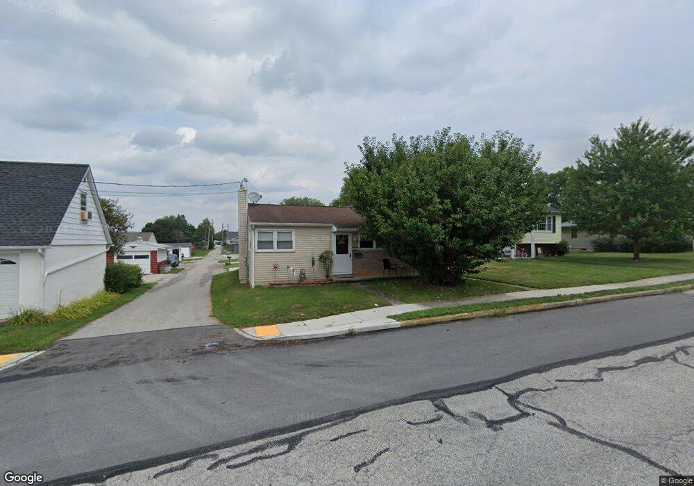
213 S 4th St Mc Sherrystown, PA 17344
Estimated Value: $179,000 - $193,000
2
Beds
1
Bath
768
Sq Ft
$243/Sq Ft
Est. Value
About This Home
This home is located at 213 S 4th St, Mc Sherrystown, PA 17344 and is currently estimated at $186,313, approximately $242 per square foot. 213 S 4th St is a home located in Adams County with nearby schools including New Oxford Senior High School, St. Teresa of Calcutta Catholic School - McSherrystown Campus, and St. Teresa of Calcutta Catholic School - Conewago Campus.
Ownership History
Date
Name
Owned For
Owner Type
Purchase Details
Closed on
Apr 25, 2018
Sold by
Gebhart Daniel T
Bought by
Koontz Judy A
Current Estimated Value
Home Financials for this Owner
Home Financials are based on the most recent Mortgage that was taken out on this home.
Original Mortgage
$104,500
Outstanding Balance
$90,061
Interest Rate
4.44%
Mortgage Type
Purchase Money Mortgage
Estimated Equity
$96,252
Purchase Details
Closed on
Jan 6, 2006
Sold by
Brieghner William and Brieghner Joan A
Bought by
Gebart Daniel T
Create a Home Valuation Report for This Property
The Home Valuation Report is an in-depth analysis detailing your home's value as well as a comparison with similar homes in the area
Home Values in the Area
Average Home Value in this Area
Purchase History
| Date | Buyer | Sale Price | Title Company |
|---|---|---|---|
| Koontz Judy A | $110,000 | -- | |
| Gebart Daniel T | $149,900 | -- |
Source: Public Records
Mortgage History
| Date | Status | Borrower | Loan Amount |
|---|---|---|---|
| Open | Koontz Judy A | $104,500 |
Source: Public Records
Tax History Compared to Growth
Tax History
| Year | Tax Paid | Tax Assessment Tax Assessment Total Assessment is a certain percentage of the fair market value that is determined by local assessors to be the total taxable value of land and additions on the property. | Land | Improvement |
|---|---|---|---|---|
| 2025 | $3,253 | $124,800 | $27,500 | $97,300 |
| 2024 | $3,024 | $124,800 | $27,500 | $97,300 |
| 2023 | $2,878 | $124,800 | $27,500 | $97,300 |
| 2022 | $2,797 | $124,800 | $27,500 | $97,300 |
| 2021 | $2,668 | $124,800 | $27,500 | $97,300 |
| 2020 | $2,610 | $124,800 | $27,500 | $97,300 |
| 2019 | $3,187 | $124,800 | $27,500 | $97,300 |
| 2018 | $2,509 | $124,800 | $27,500 | $97,300 |
| 2017 | $2,412 | $124,800 | $27,500 | $97,300 |
| 2016 | -- | $124,800 | $27,500 | $97,300 |
| 2015 | -- | $124,800 | $27,500 | $97,300 |
| 2014 | -- | $124,800 | $27,500 | $97,300 |
Source: Public Records
Map
Nearby Homes
- 417 Main St
- 337 2 Main
- 535 South St
- 617 N Blettner Ave Unit 120
- 335 North St
- 10 Bear Cir Unit 29
- 618 North St
- 303 Puma Dr Unit 22
- 303 Ridge Ave
- 129 Main St
- 718 Linden Ave
- 213 S Madison St
- 1012 W Elm Ave
- 253 Vincent Dr Unit 87
- 46 Flint Dr
- 54 Flint Dr
- 65 Flint Dr
- 62 Flint Dr
- 11 Flint Dr
- 24 Red Stone Ln Unit 47
- 207 S 4th St
- 215 S 4th St
- 409 Turkey Rd
- 400 Delone Ave
- 411 Turkey Rd Unit 2
- 219 S 4th St
- 414 Delone Ave
- 421 Hillside Dr
- 416 Delone Ave
- 418 Delone Ave
- 227 S 4th St
- 403 Delone Ave Unit 8
- 401 Delone Ave Unit 1
- 214 S 5th St
- 405 Delone Ave Unit 9
- 407 Delone Ave Unit 10
- 411 Delone Ave
- 216 S 5th St
- 415 Delone Ave
- 218 S 5th St