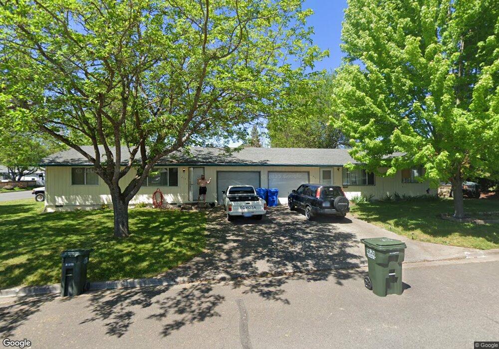
213 Tracy Ave Eagle Point, OR 97524
Estimated Value: $363,351 - $392,000
4
Beds
2
Baths
1,560
Sq Ft
$244/Sq Ft
Est. Value
About This Home
This home is located at 213 Tracy Ave, Eagle Point, OR 97524 and is currently estimated at $380,838, approximately $244 per square foot. 213 Tracy Ave is a home located in Jackson County with nearby schools including Eagle Rock Elementary School, Eagle Point Middle School, and White Mountain Middle School.
Ownership History
Date
Name
Owned For
Owner Type
Purchase Details
Closed on
Nov 8, 2018
Sold by
Rooney Michael E and Rooney Roy
Bought by
Terbeck Tom
Current Estimated Value
Purchase Details
Closed on
May 4, 2018
Sold by
Rooney Michael E and Rooney Roy
Bought by
Terbeck Tom
Purchase Details
Closed on
Jan 10, 2006
Sold by
Westfall Michael A and Westfall Cheryl A
Bought by
Rooney Michael E
Home Financials for this Owner
Home Financials are based on the most recent Mortgage that was taken out on this home.
Original Mortgage
$185,500
Interest Rate
7%
Mortgage Type
Fannie Mae Freddie Mac
Purchase Details
Closed on
Jun 3, 2002
Sold by
Robertson Paul W and Robertson Jennifer A
Bought by
Westfall Michael A and Westfall Cheryl A
Home Financials for this Owner
Home Financials are based on the most recent Mortgage that was taken out on this home.
Original Mortgage
$109,350
Interest Rate
6.89%
Create a Home Valuation Report for This Property
The Home Valuation Report is an in-depth analysis detailing your home's value as well as a comparison with similar homes in the area
Home Values in the Area
Average Home Value in this Area
Purchase History
| Date | Buyer | Sale Price | Title Company |
|---|---|---|---|
| Terbeck Tom | $151,001 | None Available | |
| Terbeck Tom | -- | None Available | |
| Rooney Michael E | $265,000 | First American Title | |
| Westfall Michael A | $121,500 | First American Title Ins Co |
Source: Public Records
Mortgage History
| Date | Status | Borrower | Loan Amount |
|---|---|---|---|
| Previous Owner | Rooney Michael E | $185,500 | |
| Previous Owner | Westfall Michael A | $109,350 |
Source: Public Records
Tax History
| Year | Tax Paid | Tax Assessment Tax Assessment Total Assessment is a certain percentage of the fair market value that is determined by local assessors to be the total taxable value of land and additions on the property. | Land | Improvement |
|---|---|---|---|---|
| 2026 | $2,279 | $167,490 | -- | -- |
| 2025 | $2,225 | $162,620 | $58,110 | $104,510 |
| 2024 | $2,225 | $157,890 | $56,420 | $101,470 |
| 2023 | $2,150 | $153,300 | $54,780 | $98,520 |
| 2022 | $2,091 | $153,300 | $54,780 | $98,520 |
| 2021 | $2,030 | $148,840 | $53,190 | $95,650 |
| 2020 | $2,156 | $144,510 | $51,640 | $92,870 |
| 2019 | $2,123 | $136,230 | $48,670 | $87,560 |
| 2018 | $2,083 | $132,270 | $47,240 | $85,030 |
| 2017 | $2,032 | $132,270 | $47,240 | $85,030 |
| 2016 | $1,992 | $124,680 | $44,540 | $80,140 |
| 2015 | $1,856 | $118,140 | $43,240 | $74,900 |
| 2014 | $1,817 | $118,450 | $41,990 | $76,460 |
Source: Public Records
Map
Nearby Homes
- 250 Tierra Cir
- 71 Tracy Ave Unit 71 & 73
- 911 Stonewater Dr
- 917 Stonewater Dr
- 912 Stonewater Dr
- 403 N Deanjou Ave
- 925 Sellwood Dr
- 1023 Highlands Dr
- 407 N Deanjou Ave
- 318 S Buchanan Ave
- 110 Linton Way
- 650 Sarah Ln
- 426 Westminster Dr
- 438 Westminster Dr
- 208 Northview Dr Unit 1B
- 620 S Royal Ave
- 945 Win Way
- 1017 Havenwood Dr
- 407 S Shasta Ave
- 0 Crater Lake Hwy
- 213 Tracy 215 Ave
- 526 Laurel St Unit 6
- 133137 Tracy Ave
- 212 Tracy Ave
- 548 Laurel St
- 157 Tracy Ave
- 495 Minerva Ave
- 495 Minerva Ave Unit 2
- 239 Tracy Ave
- 240 Thundercloud Cir
- 519 Laurel St
- 495 Minerva Ct
- 570 Laurel St
- 466 Laurel St
- 244 Thundercloud Cir
- 172 Tracy Ave
- 533 Laurel St
- 237 Thundercloud Cir
- 487 Minerva Ave
- 247 Tracy Ave
Your Personal Tour Guide
Ask me questions while you tour the home.