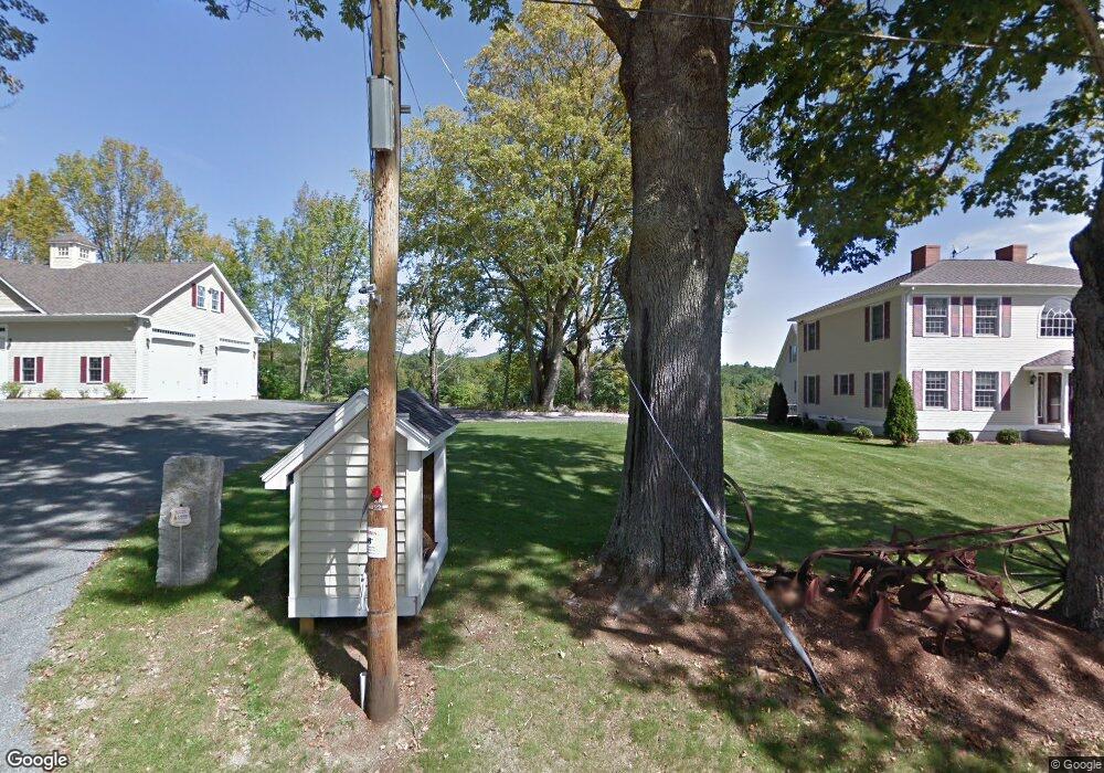
213 Wing Rd Allenstown, NH 03275
Estimated Value: $717,000 - $1,273,720
5
Beds
5
Baths
5,523
Sq Ft
$171/Sq Ft
Est. Value
About This Home
This home is located at 213 Wing Rd, Allenstown, NH 03275 and is currently estimated at $946,430, approximately $171 per square foot. 213 Wing Rd is a home located in Merrimack County with nearby schools including Allenstown Elementary School and Armand R. Dupont School.
Create a Home Valuation Report for This Property
The Home Valuation Report is an in-depth analysis detailing your home's value as well as a comparison with similar homes in the area
Home Values in the Area
Average Home Value in this Area
Tax History Compared to Growth
Tax History
| Year | Tax Paid | Tax Assessment Tax Assessment Total Assessment is a certain percentage of the fair market value that is determined by local assessors to be the total taxable value of land and additions on the property. | Land | Improvement |
|---|---|---|---|---|
| 2024 | $24,136 | $949,504 | $165,804 | $783,700 |
| 2023 | $20,135 | $949,741 | $166,041 | $783,700 |
| 2022 | $18,521 | $949,782 | $166,082 | $783,700 |
| 2021 | $22,062 | $700,367 | $108,367 | $592,000 |
| 2020 | $20,541 | $701,043 | $109,043 | $592,000 |
| 2019 | $21,802 | $701,043 | $109,043 | $592,000 |
| 2018 | $21,140 | $701,145 | $109,145 | $592,000 |
| 2017 | $22,508 | $700,958 | $108,958 | $592,000 |
| 2016 | $21,146 | $624,498 | $76,198 | $548,300 |
| 2015 | $20,491 | $624,161 | $75,861 | $548,300 |
| 2014 | $21,084 | $624,161 | $75,861 | $548,300 |
| 2013 | $17,366 | $550,780 | $144,580 | $406,200 |
Source: Public Records
Map
Nearby Homes
- 370 River Rd
- 14 Queens Ln
- 9 Princess Ln
- 43 Catamount Hill Dr
- 6 Adams St
- 8 Bush Ave
- 6 Jackson Ave
- 11 Presidential Dr
- 1 Jefferson Ave
- 5 Catamount Hill Dr
- 243 Middle Rd
- 0 Poor Town Rd Unit 4
- 19 Silver Hill Dr
- 24 Towle Pasture Dr
- 9 Pine Acres Rd
- 94 Mount Delight Rd
- 20 Mountain Rd
- 43 Black Hall Rd Unit A2
- 42 Windymere Dr
- 101 4th Range Rd Unit 4