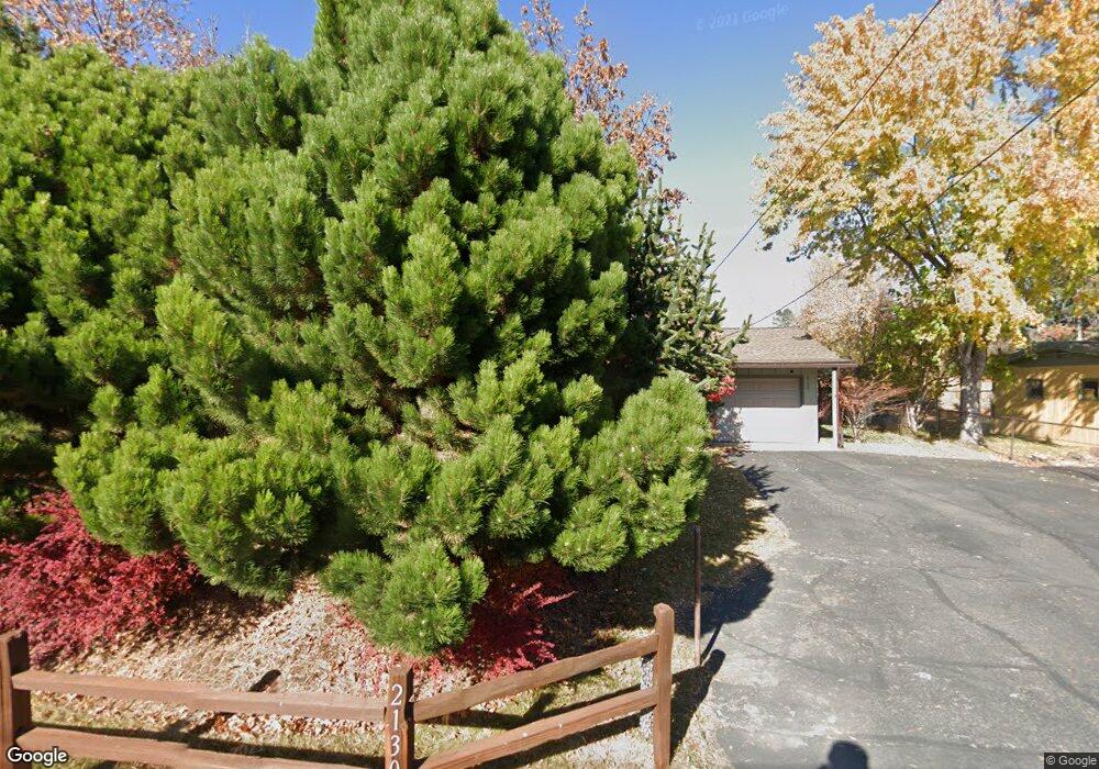
2130 Collins Ln Missoula, MT 59802
Lower Rattlesnake NeighborhoodEstimated Value: $609,555 - $707,000
4
Beds
2
Baths
1,032
Sq Ft
$647/Sq Ft
Est. Value
About This Home
This home is located at 2130 Collins Ln, Missoula, MT 59802 and is currently estimated at $667,889, approximately $647 per square foot. 2130 Collins Ln is a home located in Missoula County with nearby schools including Rattlesnake Elementary School, Washington Middle School, and Hellgate High School.
Ownership History
Date
Name
Owned For
Owner Type
Purchase Details
Closed on
Mar 12, 2025
Sold by
Liechti Pamela J
Bought by
Pamela Liechti Living Trust and Liechti
Current Estimated Value
Purchase Details
Closed on
Mar 25, 2002
Sold by
Liechti Pamela L and Liechti Pamela J
Bought by
Liechti Pamela J
Home Financials for this Owner
Home Financials are based on the most recent Mortgage that was taken out on this home.
Original Mortgage
$134,550
Interest Rate
6.84%
Create a Home Valuation Report for This Property
The Home Valuation Report is an in-depth analysis detailing your home's value as well as a comparison with similar homes in the area
Home Values in the Area
Average Home Value in this Area
Purchase History
| Date | Buyer | Sale Price | Title Company |
|---|---|---|---|
| Pamela Liechti Living Trust | -- | None Listed On Document | |
| Pamela Liechti Living Trust | -- | None Listed On Document | |
| Liechti Pamela J | -- | Stewart Title Of Missoula Cn |
Source: Public Records
Mortgage History
| Date | Status | Borrower | Loan Amount |
|---|---|---|---|
| Previous Owner | Liechti Pamela J | $134,550 |
Source: Public Records
Tax History Compared to Growth
Tax History
| Year | Tax Paid | Tax Assessment Tax Assessment Total Assessment is a certain percentage of the fair market value that is determined by local assessors to be the total taxable value of land and additions on the property. | Land | Improvement |
|---|---|---|---|---|
| 2025 | $5,888 | $606,000 | $364,988 | $241,012 |
| 2024 | $5,132 | $442,700 | $151,064 | $291,636 |
| 2023 | $5,449 | $421,700 | $151,064 | $270,636 |
| 2022 | $4,867 | $338,700 | $0 | $0 |
| 2021 | $4,115 | $338,700 | $0 | $0 |
| 2020 | $4,006 | $282,900 | $0 | $0 |
| 2019 | $4,000 | $282,900 | $0 | $0 |
| 2018 | $3,966 | $272,000 | $0 | $0 |
| 2017 | $3,911 | $272,000 | $0 | $0 |
| 2016 | $3,372 | $240,900 | $0 | $0 |
| 2015 | $3,152 | $240,900 | $0 | $0 |
| 2014 | $3,018 | $128,896 | $0 | $0 |
Source: Public Records
Map
Nearby Homes
- 2201 Greenough Ct W
- 2215 Raymond Ave
- 2411 Raymond Ave
- 1811 Elison Ln
- 2606 Sycamore St
- 521 Arbor Dr
- 1227 Basecamp Dr Unit A
- 1250 Basecamp Dr Unit C
- 1250 Basecamp Dr Unit F
- 1300 Dickinson St
- 1132 Jackson St
- 838 Locust St
- 1306 Lily Ct
- 111 N 2nd St W
- 45 Brookside Way
- 632 N 5th St W Unit C
- 632 N 5th St W Unit F
- 632 N 5th St W Unit A
- 632 N 5th St W Unit A,B,C,D,F
- 632 N 5th St W Unit E
- 2132 Collins Ln
- 2126 Collins Ln
- 519 Whitney Ln
- 2124 Greenough Dr W
- 2216 Greenough Dr W
- 2122 Greenough Dr W
- 2134 Collins Ln
- 2128 Greenough Dr W
- 601 Whitney Ln
- 2208 Greenough Ct W
- 2226 Greenough Dr W
- 2110 Greenough Dr W
- 2212 Greenough Ct W
- 2218 Greenough Ct W
- 519 Lolo St
- 523 Lolo St
- 616 Whitney Ln
- 2240 Greenough Ct W
- 2203 Greenough Ct W
- 600 Whitney Ln