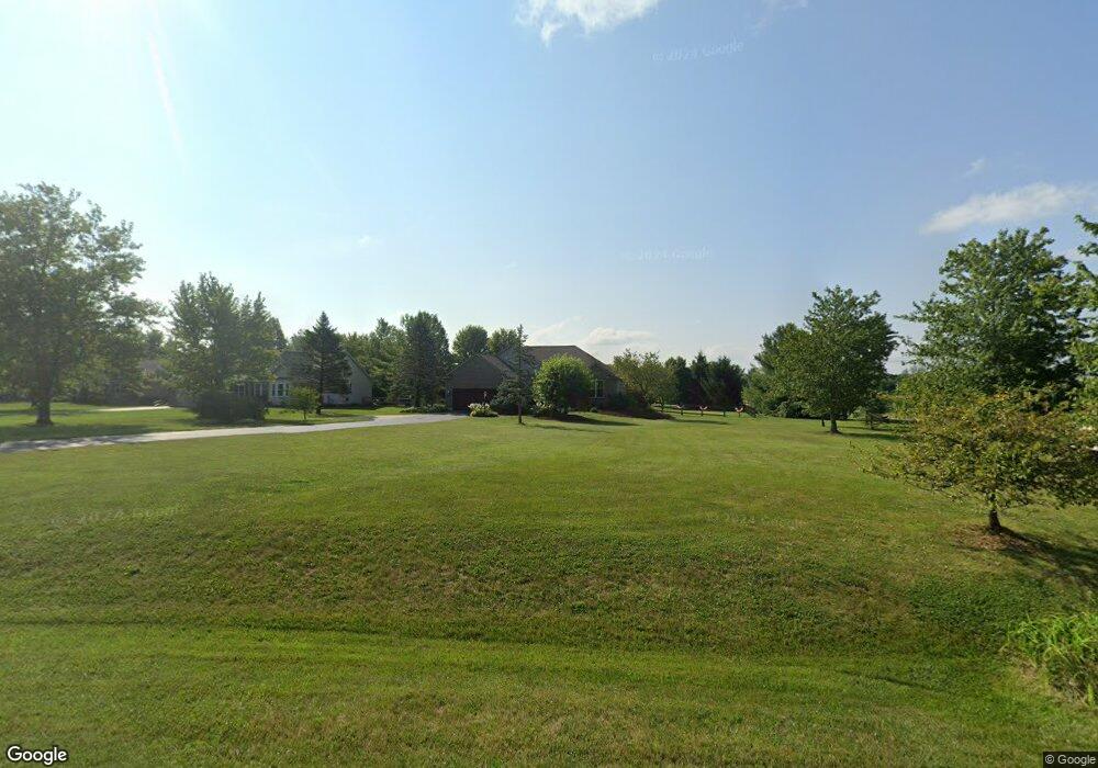
2130 Columbine Dr Lebanon, OH 45036
Turtlecreek Township NeighborhoodEstimated Value: $445,000 - $491,000
3
Beds
2
Baths
1,769
Sq Ft
$262/Sq Ft
Est. Value
About This Home
This home is located at 2130 Columbine Dr, Lebanon, OH 45036 and is currently estimated at $462,784, approximately $261 per square foot. 2130 Columbine Dr is a home located in Warren County with nearby schools including Bowman Primary School, Berry Intermediate School, and Donovan Elementary School.
Ownership History
Date
Name
Owned For
Owner Type
Purchase Details
Closed on
May 26, 2004
Sold by
Sizemore Peggy Sue and Sizemore Arthur
Bought by
Gore Phillip W and Gore Judith R
Current Estimated Value
Home Financials for this Owner
Home Financials are based on the most recent Mortgage that was taken out on this home.
Original Mortgage
$53,000
Interest Rate
5.99%
Mortgage Type
Purchase Money Mortgage
Purchase Details
Closed on
Jul 8, 2003
Sold by
Pmac Llc
Bought by
Sizemore Peggy Sue
Create a Home Valuation Report for This Property
The Home Valuation Report is an in-depth analysis detailing your home's value as well as a comparison with similar homes in the area
Home Values in the Area
Average Home Value in this Area
Purchase History
| Date | Buyer | Sale Price | Title Company |
|---|---|---|---|
| Gore Phillip W | $225,000 | Lawyers Title Cincinnati | |
| Sizemore Peggy Sue | $32,000 | -- |
Source: Public Records
Mortgage History
| Date | Status | Borrower | Loan Amount |
|---|---|---|---|
| Closed | Gore Phillip W | $53,000 |
Source: Public Records
Tax History Compared to Growth
Tax History
| Year | Tax Paid | Tax Assessment Tax Assessment Total Assessment is a certain percentage of the fair market value that is determined by local assessors to be the total taxable value of land and additions on the property. | Land | Improvement |
|---|---|---|---|---|
| 2024 | $4,876 | $130,330 | $25,860 | $104,470 |
| 2023 | $4,238 | $102,833 | $13,993 | $88,840 |
| 2022 | $4,186 | $102,834 | $13,993 | $88,841 |
| 2021 | $3,840 | $102,834 | $13,993 | $88,841 |
| 2020 | $3,826 | $87,147 | $11,858 | $75,289 |
| 2019 | $3,847 | $87,147 | $11,858 | $75,289 |
| 2018 | $3,488 | $87,147 | $11,858 | $75,289 |
| 2017 | $3,570 | $80,990 | $11,137 | $69,853 |
| 2016 | $3,697 | $80,990 | $11,137 | $69,853 |
| 2015 | $3,727 | $80,990 | $11,137 | $69,853 |
| 2014 | $3,563 | $75,730 | $10,440 | $65,280 |
| 2013 | $3,568 | $85,640 | $11,750 | $73,890 |
Source: Public Records
Map
Nearby Homes
- 2266 Ohio 123
- 2266 Ohio 123 Unit Site C
- 2266 Ohio 123 Unit Site A
- 2266 Ohio 123 Unit Site B
- 2266 N St Rt 123
- 2266 N St Rt 123 Unit Site D
- 1801 Kirby Rd
- 1133 Reveres Run
- 1369 New England Way
- 382 N Church Dr
- 3562 Aniston Ct
- 1179 Silversmith Way
- 1782 Ohio 741
- 1130 Silversmith Way
- 0 Aniston Ct Unit 1824950
- 0 Aniston Ct
- 3092 Canvasback Ct
- 3086 Canvasback Ct
- 3080 Canvasback Ct
- 3074 Canvasback Ct
- 2154 Columbine Dr
- 2170 Columbine Dr
- 2137 Columbine Dr
- 2163 Columbine Dr
- 2066 Ohio 123
- 2066 N State Route 123
- 2198 Columbine Dr
- 2191 Columbine Dr
- 2194 N State Route 123
- 2210 Columbine Dr
- 1757 Columbine Cir
- 1785 Columbine Cir
- 2266 N Nn St Rt 123 Unit Site D
- 2266 N Nn St Rt 123
- 2222 Columbine Dr
- 2238 Columbine Dr
- 1799 Columbine Cir
- 1965 N State Route 123
- 1965 N State Route 123
- 2256 Columbine Dr