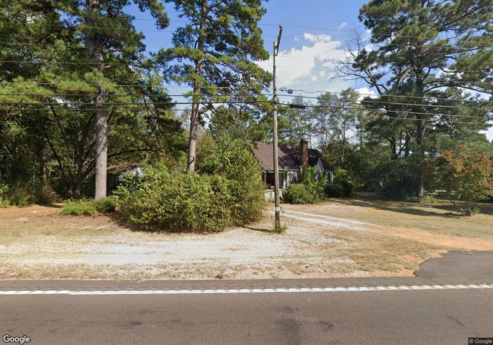
2130 Highway 44 E McComb, MS 39648
Estimated Value: $134,799 - $217,000
Studio
--
Bath
1,786
Sq Ft
$98/Sq Ft
Est. Value
About This Home
This home is located at 2130 Highway 44 E, McComb, MS 39648 and is currently estimated at $175,700, approximately $98 per square foot. 2130 Highway 44 E is a home with nearby schools including North Pike Elementary School, North Pike Middle School, and North Pike Senior High School.
Ownership History
Date
Name
Owned For
Owner Type
Purchase Details
Closed on
Feb 7, 2022
Sold by
Hamilton Jr Claude V
Bought by
Mcdaniel Shawn H
Current Estimated Value
Purchase Details
Closed on
Sep 2, 2014
Sold by
Barrett James L
Bought by
Barrett James L and Barrett Deanna R
Purchase Details
Closed on
Jul 30, 2013
Sold by
Barrett James L and Barrett James Clayton
Bought by
Barrett James L
Purchase Details
Closed on
Apr 4, 2011
Sold by
Barrett J L J and Barrett James L
Bought by
Barrett James L and Barrett James Clayton
Create a Home Valuation Report for This Property
The Home Valuation Report is an in-depth analysis detailing your home's value as well as a comparison with similar homes in the area
Purchase History
| Date | Buyer | Sale Price | Title Company |
|---|---|---|---|
| Mcdaniel Shawn H | -- | None Listed On Document | |
| Barrett James L | -- | None Available | |
| Barrett James L | -- | None Available | |
| Barrett James L | -- | None Available |
Source: Public Records
Tax History
| Year | Tax Paid | Tax Assessment Tax Assessment Total Assessment is a certain percentage of the fair market value that is determined by local assessors to be the total taxable value of land and additions on the property. | Land | Improvement |
|---|---|---|---|---|
| 2025 | $1,493 | $11,030 | $0 | $0 |
| 2024 | $1,327 | $9,659 | $0 | $0 |
| 2023 | $1,299 | $9,659 | $0 | $0 |
| 2022 | $1,280 | $9,659 | $0 | $0 |
| 2021 | $1,277 | $9,659 | $0 | $0 |
| 2020 | $1,241 | $9,347 | $0 | $0 |
| 2019 | $1,211 | $9,347 | $0 | $0 |
| 2018 | $1,203 | $9,347 | $0 | $0 |
| 2017 | $1,177 | $9,347 | $0 | $0 |
| 2016 | $1,021 | $9,181 | $0 | $0 |
| 2015 | -- | $9,038 | $0 | $0 |
| 2014 | -- | $9,039 | $0 | $0 |
| 2013 | -- | $9,039 | $0 | $0 |
Source: Public Records
Map
Nearby Homes
- 1037 Boone Rd
- 1021 Great Point Rd
- 0 Deer Ridge Rd
- 1011 Rolling Oaks Dr
- 0 Rolling Oaks Dr
- 1011 Eastover Ln
- 1028 Chester Reeves Rd
- 2067 McComb Hville Rd
- 1148 Morgantown Rd
- 1025 Clover Ln
- 1019 Pearl River Avenue Extension
- No Integrity Rd
- 0 Integrity Rd
- XXX Brewer Ln
- 0 Morgantown Rd Unit 4125975
- 1086 Mississippi 570
- 1031 Pearl River Ave
- 219 S Live Oak St
- 143 N Myrtle St
- 2190 Summit Holmesville Rd
- 4028 Summit Holmesville Rd
- 1097 Stewart Mill Rd
- 1089 Stewart Mill Rd
- 1095 Stewart Mill Rd
- 2125 Highway 44 E
- 4048 Summit Holmesville Rd
- 4040 Summit-Hville Rd
- 2123 Hwy 44e
- 1012 Stewart Mill Rd
- 1017 Stewart Mill Rd
- 4054 Summit Holmesville Rd
- 1030 Stewart Mill Rd
- 2095 Highway 44 E
- 1021 Boone Rd
- 2173 Highway 44 E
- 1015 Boone Rd
- 4069 Summit-Hville Rd
- 1028 Stewart Mill Rd
- 4009 Summit Holmesville Rd
- 2086 Highway 44 E
Your Personal Tour Guide
Ask me questions while you tour the home.