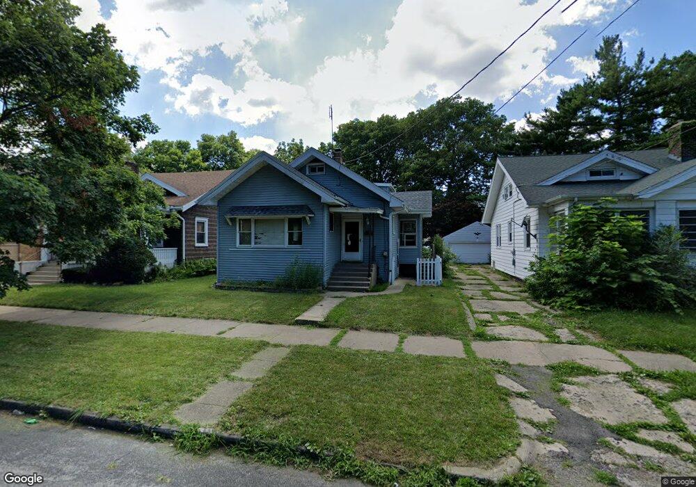
2131 N Peoria Ave Peoria, IL 61603
West Bluff NeighborhoodEstimated Value: $45,000 - $66,000
4
Beds
1
Bath
1,576
Sq Ft
$36/Sq Ft
Est. Value
About This Home
This home is located at 2131 N Peoria Ave, Peoria, IL 61603 and is currently estimated at $56,398, approximately $35 per square foot. 2131 N Peoria Ave is a home located in Peoria County with nearby schools including Lincoln School, Peoria High School, and Quest Charter School Academy.
Ownership History
Date
Name
Owned For
Owner Type
Purchase Details
Closed on
Mar 29, 2023
Sold by
Consolidated Properties Llc Series Np
Bought by
Castillo Miriam Santiago
Current Estimated Value
Purchase Details
Closed on
Jun 25, 2021
Sold by
Ms Investment Group Inc
Bought by
Consolidated Properties Llc Series Np
Purchase Details
Closed on
May 3, 2021
Sold by
County Clerk Of The County Of Peoria
Bought by
Ms Investment Group Inc
Purchase Details
Closed on
Apr 30, 2021
Sold by
County Clerk Of The County Of Peoria
Bought by
Ms Investment Group Inc
Create a Home Valuation Report for This Property
The Home Valuation Report is an in-depth analysis detailing your home's value as well as a comparison with similar homes in the area
Home Values in the Area
Average Home Value in this Area
Purchase History
| Date | Buyer | Sale Price | Title Company |
|---|---|---|---|
| Castillo Miriam Santiago | $23,000 | -- | |
| Consolidated Properties Llc Series Np | $6,333 | None Listed On Document | |
| Consolidated Properties Llc Se | $6,333 | None Listed On Document | |
| Ms Investment Group Inc | -- | None Listed On Document | |
| Ms Investment Group Inc | -- | None Listed On Document |
Source: Public Records
Tax History Compared to Growth
Tax History
| Year | Tax Paid | Tax Assessment Tax Assessment Total Assessment is a certain percentage of the fair market value that is determined by local assessors to be the total taxable value of land and additions on the property. | Land | Improvement |
|---|---|---|---|---|
| 2024 | $716 | $13,260 | $2,530 | $10,730 |
| 2023 | $1,144 | $12,160 | $2,320 | $9,840 |
| 2022 | $1,049 | $10,870 | $2,240 | $8,630 |
| 2021 | $1,029 | $10,350 | $2,130 | $8,220 |
| 2020 | $1,027 | $10,250 | $2,110 | $8,140 |
| 2019 | $1,042 | $10,460 | $2,150 | $8,310 |
| 2018 | $1,227 | $12,600 | $2,280 | $10,320 |
| 2017 | $1,249 | $12,720 | $2,300 | $10,420 |
| 2016 | $1,215 | $12,720 | $2,300 | $10,420 |
| 2015 | $1,306 | $12,470 | $2,250 | $10,220 |
| 2014 | $1,306 | $13,910 | $2,380 | $11,530 |
| 2013 | -- | $14,080 | $2,410 | $11,670 |
Source: Public Records
Map
Nearby Homes
- 410 E Thrush Ave
- 220 E Frye Ave
- 417 E Arcadia Ave
- 429 E Frye Ave
- 2409 N Linn St
- 702 E Thrush Ave
- 1827 N Peoria Ave
- 410 E Virginia Ave
- 600 E Virginia Ave
- 2008 N North St
- 618 E Virginia Ave
- 3215 Knoxville Ave
- 600 E Gift Ave
- 1821 N Indiana Ave
- 1712 N Bigelow St
- 2624 N Bigelow St
- 417 W Nebraska Ave
- 720 E Gift Ave
- 707 E Ravine Ave
- 201 W Hanssler Place
- 2135 N Peoria Ave
- 2129 N Peoria Ave
- 2135 N North St
- 2137 N Peoria Ave
- 2127 N North St
- 2137 N North St
- 2127 N Peoria Ave
- 2123 N Peoria Ave
- 301 E Republic St
- 214 E Thrush Ave
- 212 E Thrush Ave
- 218 E Thrush Ave
- 303 E Republic St
- 210 E Thrush Ave
- 216 E Thrush Ave
- 2119 N Peoria Ave
- 208 E Thrush Ave
- 116 E Briarwood Ct
- 300 E Thrush Ave
- 2117 N Peoria Ave