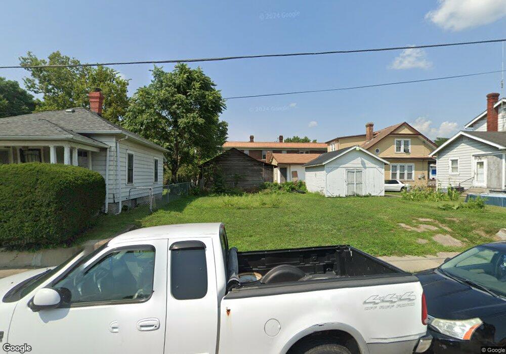
2131 Wayne Ave Middletown, OH 45044
Sherman NeighborhoodEstimated Value: $181,936
2
Beds
2
Baths
636
Sq Ft
$286/Sq Ft
Est. Value
About This Home
This home is located at 2131 Wayne Ave, Middletown, OH 45044 and is currently estimated at $181,936, approximately $286 per square foot. 2131 Wayne Ave is a home located in Butler County with nearby schools including Amanda Elementary School, Highview 6th Grade Center, and Middletown Middle School.
Ownership History
Date
Name
Owned For
Owner Type
Purchase Details
Closed on
Aug 4, 2021
Sold by
Butler County Land Reutilization Corp
Bought by
City Of Middletown
Current Estimated Value
Purchase Details
Closed on
Aug 12, 2015
Sold by
Reynolds Roger
Bought by
Butler County Land Reutilization Corp
Purchase Details
Closed on
Apr 16, 2001
Sold by
Reider Howard C and Sailey Barbara
Bought by
Wallace Thomas
Home Financials for this Owner
Home Financials are based on the most recent Mortgage that was taken out on this home.
Original Mortgage
$15,200
Interest Rate
7.05%
Mortgage Type
Purchase Money Mortgage
Create a Home Valuation Report for This Property
The Home Valuation Report is an in-depth analysis detailing your home's value as well as a comparison with similar homes in the area
Home Values in the Area
Average Home Value in this Area
Purchase History
| Date | Buyer | Sale Price | Title Company |
|---|---|---|---|
| City Of Middletown | -- | None Available | |
| Butler County Land Reutilization Corp | -- | Attorney | |
| Wallace Thomas | $79,000 | -- |
Source: Public Records
Mortgage History
| Date | Status | Borrower | Loan Amount |
|---|---|---|---|
| Previous Owner | Wallace Thomas | $15,200 |
Source: Public Records
Tax History
| Year | Tax Paid | Tax Assessment Tax Assessment Total Assessment is a certain percentage of the fair market value that is determined by local assessors to be the total taxable value of land and additions on the property. | Land | Improvement |
|---|---|---|---|---|
| 2025 | -- | $1,470 | $1,470 | -- |
| 2024 | -- | $1,470 | $1,470 | -- |
| 2023 | -- | $1,470 | $1,470 | -- |
| 2022 | $0 | $1,470 | $1,470 | $0 |
| 2021 | $0 | $1,470 | $1,470 | $0 |
| 2020 | $0 | $1,470 | $1,470 | $0 |
| 2019 | $134 | $1,850 | $1,850 | $0 |
| 2018 | $0 | $3,500 | $1,850 | $1,650 |
| 2017 | $0 | $8,660 | $1,850 | $6,810 |
| 2016 | $0 | $8,660 | $1,850 | $6,810 |
| 2015 | $438 | $8,660 | $1,850 | $6,810 |
| 2014 | $10,189 | $8,660 | $1,850 | $6,810 |
| 2013 | $10,189 | $11,840 | $1,850 | $9,990 |
Source: Public Records
Map
Nearby Homes
- 2124 Sherman Ave
- 615 Cleveland St
- 2312 S Sutphin St
- 621 Cleveland St
- 2418 Sherman Ave
- 2020 Grand Ave
- 501 Stanley St
- 2308 Queen Ave
- 2420 Superior Ave
- 2308 Hill Ave
- 2208 Linden Ave
- 409 Crawford St
- 2121 Roosevelt Blvd
- 2005 Hill Ave
- 319 Crawford St
- 1832 Woodlawn Ave
- 1830 Woodlawn Ave
- 705 Crawford St
- 707 Crawford St
- 709 Crawford St
- 2129 Wayne Ave
- 520 S Sutphin St
- 2127 Wayne Ave
- 522 S Sutphin St
- 524 S Sutphin St
- 516 S Sutphin St
- 2134 Wayne Ave
- 2125 Wayne Ave
- 530 S Sutphin St
- 2123 Wayne Ave
- 512 S Sutphin St
- 2121 Wayne Ave
- 2119 Wayne Ave
- 510 S Sutphin St
- 2203 Woodlawn Ave
- 2207 Woodlawn Ave
- 532 S Sutphin St
- 2201 Woodlawn Ave
- 508 S Sutphin St
- 2117 Wayne Ave
Your Personal Tour Guide
Ask me questions while you tour the home.