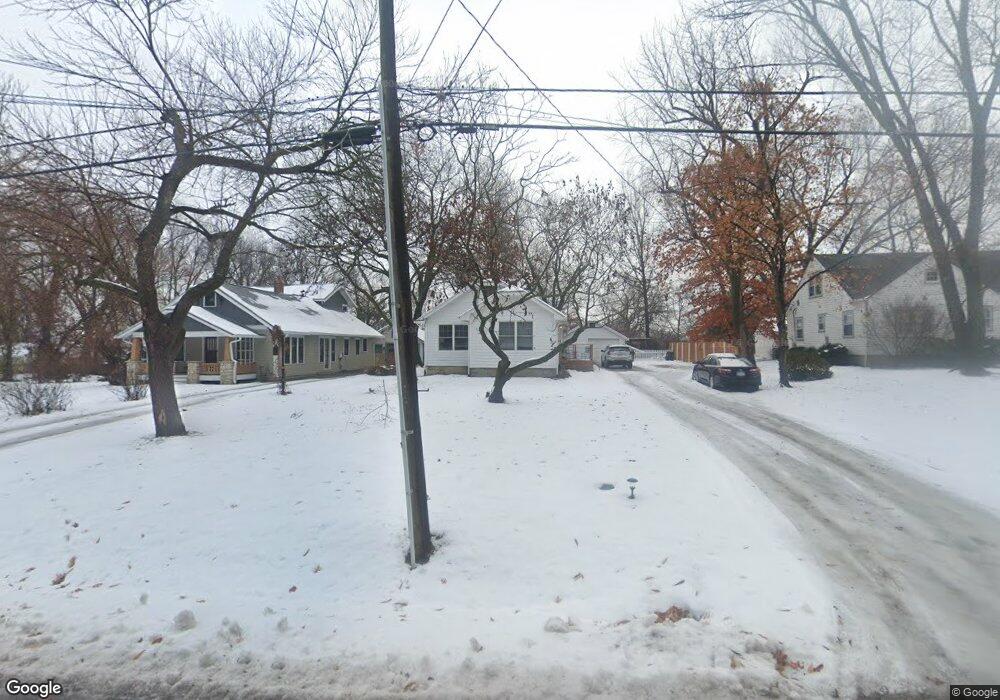
2132 Learnard Ave Lawrence, KS 66046
Barker NeighborhoodEstimated Value: $253,000 - $281,000
3
Beds
2
Baths
1,240
Sq Ft
$212/Sq Ft
Est. Value
About This Home
This home is located at 2132 Learnard Ave, Lawrence, KS 66046 and is currently estimated at $263,466, approximately $212 per square foot. 2132 Learnard Ave is a home located in Douglas County with nearby schools including Kennedy Elementary School, Liberty Memorial Central Middle School, and Lawrence High School.
Ownership History
Date
Name
Owned For
Owner Type
Purchase Details
Closed on
Mar 11, 2023
Sold by
Carlson Anita
Bought by
Carlson Harold E and Carlson Deborah R
Current Estimated Value
Purchase Details
Closed on
Jan 5, 2023
Sold by
Carlson Harold E
Bought by
Carlson Harold E and Carlson Deborah R
Purchase Details
Closed on
Jan 18, 2001
Sold by
Carlson Anita
Bought by
Carlson Harold E
Create a Home Valuation Report for This Property
The Home Valuation Report is an in-depth analysis detailing your home's value as well as a comparison with similar homes in the area
Home Values in the Area
Average Home Value in this Area
Purchase History
| Date | Buyer | Sale Price | Title Company |
|---|---|---|---|
| Carlson Harold E | -- | -- | |
| Carlson Harold E | -- | -- | |
| Carlson Harold E | -- | -- |
Source: Public Records
Tax History
| Year | Tax Paid | Tax Assessment Tax Assessment Total Assessment is a certain percentage of the fair market value that is determined by local assessors to be the total taxable value of land and additions on the property. | Land | Improvement |
|---|---|---|---|---|
| 2025 | $3,431 | $28,106 | $9,200 | $18,906 |
| 2024 | $3,167 | $26,025 | $8,625 | $17,400 |
| 2023 | $2,939 | $23,150 | $6,900 | $16,250 |
| 2022 | $2,947 | $23,023 | $6,325 | $16,698 |
| 2021 | $2,546 | $19,194 | $5,175 | $14,019 |
| 2020 | $2,392 | $18,147 | $5,175 | $12,972 |
| 2019 | $2,344 | $17,802 | $4,947 | $12,855 |
| 2018 | $2,248 | $16,963 | $4,720 | $12,243 |
| 2017 | $2,102 | $15,709 | $4,720 | $10,989 |
| 2016 | $1,900 | $14,858 | $4,884 | $9,974 |
| 2015 | $1,823 | $14,271 | $4,884 | $9,387 |
| 2014 | $1,728 | $13,673 | $4,884 | $8,789 |
Source: Public Records
Map
Nearby Homes
- 2146 Rhode Island St
- 1950 Barker Ave
- 2208 Massachusetts St
- 2115 Massachusetts St
- 5701 Johnson Ave
- 5804 Johnson Ave
- 2210 Louisiana St
- 1630 Barker Ave
- 2014 Maple Ln
- 314 Oklahoma St
- 2409 Ohio St
- 1605 E 21st Place
- 1708 E 21st Terrace
- 529 Kansas St
- 1616 Louisiana St
- 2725 Ponderosa Dr
- 1831 Illinois St
- 1341 Rhode Island St
- 730 W 25th St
- 1327 New Jersey St
- 2134 Learnard Ave
- 2130 Learnard Ave
- 2136 Learnard Ave
- 2124 Learnard Ave
- 2100 Pennsylvania St
- 2139 Pennsylvania St
- 2138 Learnard Ave
- 2131 Learnard Ave
- 2125 Learnard Ave
- 2139 Learnard Ave
- 2138 Pennsylvania St
- 2141 Learnard Ave
- 2110 Learnard Ave
- 2203 Pennsylvania St
- 2115 Learnard Ave
- 2145 Learnard Ave
- 2201 Learnard Ave
- 2202 Pennsylvania St
- 2111 Learnard Ave
- 2209 Pennsylvania St
Your Personal Tour Guide
Ask me questions while you tour the home.