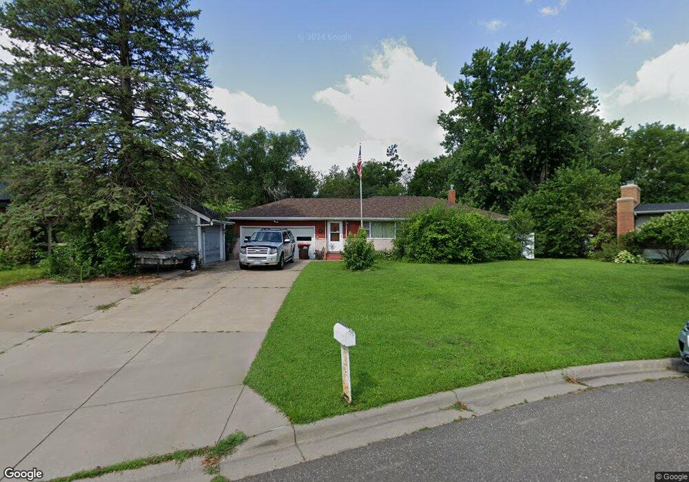
2133 Duluth Place Saint Paul, MN 55109
Sherwood Glen NeighborhoodEstimated Value: $324,903 - $359,000
3
Beds
1
Bath
1,542
Sq Ft
$220/Sq Ft
Est. Value
About This Home
This home is located at 2133 Duluth Place, Saint Paul, MN 55109 and is currently estimated at $339,976, approximately $220 per square foot. 2133 Duluth Place is a home located in Ramsey County with nearby schools including Weaver Elementary School, John Glenn Middle School, and St Jerome Elementary School.
Ownership History
Date
Name
Owned For
Owner Type
Purchase Details
Closed on
Nov 4, 2015
Sold by
Heroff Shirley M
Bought by
Pauletti Anthony A and Pauletti Jean M
Current Estimated Value
Home Financials for this Owner
Home Financials are based on the most recent Mortgage that was taken out on this home.
Original Mortgage
$201,000
Outstanding Balance
$121,306
Interest Rate
3.87%
Mortgage Type
Seller Take Back
Estimated Equity
$218,670
Create a Home Valuation Report for This Property
The Home Valuation Report is an in-depth analysis detailing your home's value as well as a comparison with similar homes in the area
Home Values in the Area
Average Home Value in this Area
Purchase History
| Date | Buyer | Sale Price | Title Company |
|---|---|---|---|
| Pauletti Anthony A | $201,000 | None Available |
Source: Public Records
Mortgage History
| Date | Status | Borrower | Loan Amount |
|---|---|---|---|
| Open | Pauletti Anthony A | $201,000 |
Source: Public Records
Tax History Compared to Growth
Tax History
| Year | Tax Paid | Tax Assessment Tax Assessment Total Assessment is a certain percentage of the fair market value that is determined by local assessors to be the total taxable value of land and additions on the property. | Land | Improvement |
|---|---|---|---|---|
| 2025 | $4,370 | $322,500 | $63,100 | $259,400 |
| 2023 | $4,370 | $314,100 | $63,100 | $251,000 |
| 2022 | $3,572 | $291,100 | $63,100 | $228,000 |
| 2021 | $3,380 | $250,500 | $63,100 | $187,400 |
| 2020 | $3,314 | $243,200 | $63,100 | $180,100 |
| 2019 | $2,948 | $224,500 | $63,100 | $161,400 |
| 2018 | $2,888 | $205,600 | $63,100 | $142,500 |
| 2017 | $3,006 | $197,100 | $63,100 | $134,000 |
| 2016 | $2,920 | $0 | $0 | $0 |
| 2015 | $2,846 | $191,400 | $57,900 | $133,500 |
| 2014 | $2,204 | $0 | $0 | $0 |
Source: Public Records
Map
Nearby Homes
- 1201 Frost Ave
- 1467 County Road B E
- 2020 Arcade St
- 1875 E Shore Dr Unit 302
- 1509 Sandhurst Ave E
- 1018 Sextant Ave
- 1869 Birmingham St
- 1779 Frank St
- 1940 Barclay St
- 1730 Atlantic St
- 1854 Barclay St
- 1740 English St
- 955 Brooks Ct
- 1984 Prosperity Rd
- 727 Laurie Ct
- 2420 Hazelwood St
- 771 County Road B2 E
- 1435 Price Ave
- 1666 Laurie Rd E
- 1694 Laurie Rd E
- 2137 Duluth Place
- 2125 Duluth Place
- 2137 Duluth Place
- 2119 Duluth Place
- 2140 Duluth Place
- 2122 Duluth Place
- 1184 Junction Ave
- 2134 Duluth Place
- 2117 Atlantic St
- 2105 Duluth St
- 2127 Atlantic St
- 1200 Junction Ave
- 2099 Duluth St
- 1208 Junction Ave
- 2108 Atlantic St
- 1216 Junction Ave
- 2114 Atlantic St
- 2091 Duluth St
- 2092 Duluth St
- 2120 Atlantic St