2133 Hawthorne Dr Defiance, OH 43512
Estimated Value: $251,000 - $397,000
5
Beds
3
Baths
2,491
Sq Ft
$131/Sq Ft
Est. Value
About This Home
This home is located at 2133 Hawthorne Dr, Defiance, OH 43512 and is currently estimated at $326,817, approximately $131 per square foot. 2133 Hawthorne Dr is a home located in Defiance County with nearby schools including Noble Elementary School, Tinora Elementary School, and Tinora Middle School.
Ownership History
Date
Name
Owned For
Owner Type
Purchase Details
Closed on
Aug 4, 2006
Sold by
Williamson John G and Williamson Jody M
Bought by
Kissner Karl E and Kissner Allison K
Current Estimated Value
Home Financials for this Owner
Home Financials are based on the most recent Mortgage that was taken out on this home.
Original Mortgage
$970,000
Outstanding Balance
$585,215
Interest Rate
6.85%
Mortgage Type
New Conventional
Estimated Equity
-$258,398
Purchase Details
Closed on
Jan 12, 1999
Bought by
Kissner Karl E and Kissner Allison K
Purchase Details
Closed on
Oct 25, 1994
Bought by
Kissner Karl E and Kissner Allison K
Create a Home Valuation Report for This Property
The Home Valuation Report is an in-depth analysis detailing your home's value as well as a comparison with similar homes in the area
Home Values in the Area
Average Home Value in this Area
Purchase History
| Date | Buyer | Sale Price | Title Company |
|---|---|---|---|
| Kissner Karl E | $197,800 | None Available | |
| Kissner Karl E | $175,000 | -- | |
| Kissner Karl E | $12,000 | -- |
Source: Public Records
Mortgage History
| Date | Status | Borrower | Loan Amount |
|---|---|---|---|
| Open | Kissner Karl E | $970,000 |
Source: Public Records
Tax History Compared to Growth
Tax History
| Year | Tax Paid | Tax Assessment Tax Assessment Total Assessment is a certain percentage of the fair market value that is determined by local assessors to be the total taxable value of land and additions on the property. | Land | Improvement |
|---|---|---|---|---|
| 2024 | $3,851 | $110,630 | $4,470 | $106,160 |
| 2023 | $3,851 | $110,630 | $4,470 | $106,160 |
| 2022 | $3,905 | $94,580 | $4,470 | $90,110 |
| 2021 | $3,905 | $94,580 | $4,470 | $90,110 |
| 2020 | $3,891 | $94,580 | $4,470 | $90,110 |
| 2019 | $3,076 | $76,540 | $4,470 | $72,070 |
| 2018 | $3,108 | $76,540 | $4,470 | $72,070 |
| 2017 | $2,772 | $76,542 | $4,473 | $72,069 |
| 2016 | $2,392 | $63,648 | $4,242 | $59,406 |
| 2015 | $1,219 | $63,648 | $4,242 | $59,406 |
| 2014 | $1,219 | $63,830 | $4,242 | $59,588 |
| 2013 | $1,219 | $63,830 | $4,242 | $59,588 |
| 2012 | $1,219 | $63,830 | $4,242 | $59,588 |
Source: Public Records
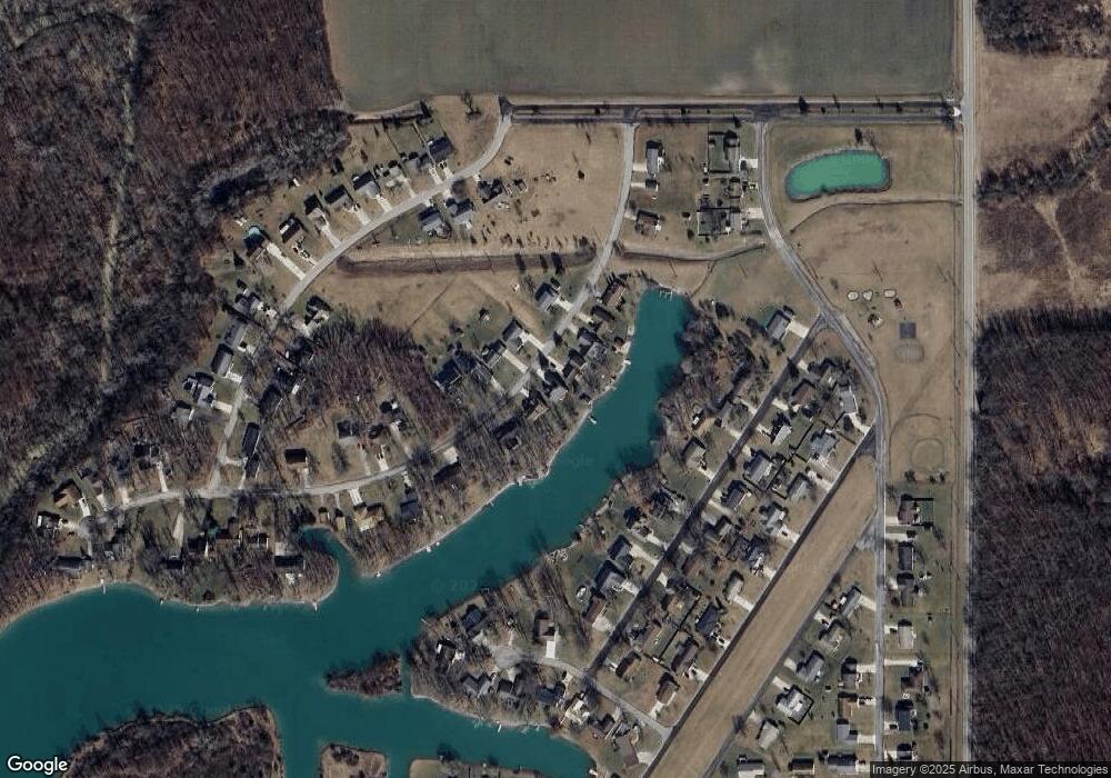
Map
Nearby Homes
- 4120 Misty Shores Rd
- 4131 E Rolling Meadows Blvd
- 8208 N State Route 66 Unit 8219
- 10587 Haller St
- 10510 Haller St
- 0 Saint Rt 66
- 6909 Ohio 66
- 1102 Anthony Wayne Blvd
- 20975 Buckskin Rd
- 588 Fugate Dr
- 205 Stadium Dr
- 16 College Place
- 558 Gibson St
- 202 Wilson St
- 0 W High St
- 383 Maumee River Crossing
- 00 Widmer St
- 0 Maumee River Crossing
- 0 Rose St Unit Lot L 6004739
- 202 Southworth St
- 2129 Hawthorne Dr
- 2137 Hawthorne Dr
- 2125 Hawthorne Dr
- 2141 Hawthorne Dr
- 2121 Hawthorne Dr
- 2134 Hawthorne Dr
- 2130 Hawthorne Dr
- 2138 Hawthorne Dr
- 2122 Hawthorne Dr
- 2142 Hawthorne Dr
- 2117 Hawthorne Dr
- 4132 Misty Shores
- 4132 Misty Shores Rd
- 2153 Hawthorne Dr
- 4120 Misty Shores
- 4124 Misty Shores
- 4136 Misty Shores
- 2146 Hawthorne Dr
- 2150 Hawthorne Dr
- 4140 Misty Shores