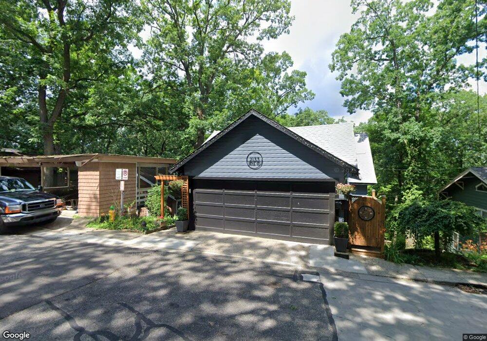
2133 Ridge Rd Kalamazoo, MI 49008
Westnedge Hill NeighborhoodEstimated Value: $280,358 - $368,000
4
Beds
3
Baths
2,158
Sq Ft
$147/Sq Ft
Est. Value
About This Home
This home is located at 2133 Ridge Rd, Kalamazoo, MI 49008 and is currently estimated at $318,090, approximately $147 per square foot. 2133 Ridge Rd is a home located in Kalamazoo County with nearby schools including Parkwood-Upjohn Elementary School, Milwood Magnet School, and Loy Norrix High School.
Ownership History
Date
Name
Owned For
Owner Type
Purchase Details
Closed on
Sep 15, 2020
Sold by
Mcfall Gary L and Lamper Mcfall Stacey
Bought by
Mcfall Gary L and Lamper Mcfall Stacey
Current Estimated Value
Purchase Details
Closed on
Apr 26, 2004
Sold by
Stallman Patricia R
Bought by
Mcfall Gary L
Home Financials for this Owner
Home Financials are based on the most recent Mortgage that was taken out on this home.
Original Mortgage
$109,600
Interest Rate
6.44%
Mortgage Type
Purchase Money Mortgage
Create a Home Valuation Report for This Property
The Home Valuation Report is an in-depth analysis detailing your home's value as well as a comparison with similar homes in the area
Home Values in the Area
Average Home Value in this Area
Purchase History
| Date | Buyer | Sale Price | Title Company |
|---|---|---|---|
| Mcfall Gary L | -- | None Available | |
| Mcfall Gary L | $137,000 | Chicago Title |
Source: Public Records
Mortgage History
| Date | Status | Borrower | Loan Amount |
|---|---|---|---|
| Previous Owner | Mcfall Gary L | $109,600 | |
| Closed | Mcfall Gary L | $27,400 |
Source: Public Records
Tax History Compared to Growth
Tax History
| Year | Tax Paid | Tax Assessment Tax Assessment Total Assessment is a certain percentage of the fair market value that is determined by local assessors to be the total taxable value of land and additions on the property. | Land | Improvement |
|---|---|---|---|---|
| 2025 | $4,640 | $118,700 | $0 | $0 |
| 2024 | $2,591 | $113,800 | $0 | $0 |
| 2023 | $2,470 | $100,800 | $0 | $0 |
| 2022 | $4,208 | $92,000 | $0 | $0 |
| 2021 | $4,069 | $86,100 | $0 | $0 |
| 2020 | $3,985 | $82,800 | $0 | $0 |
| 2019 | $3,799 | $78,500 | $0 | $0 |
| 2018 | $3,710 | $81,200 | $0 | $0 |
| 2017 | $3,808 | $79,700 | $0 | $0 |
| 2016 | $3,808 | $83,600 | $0 | $0 |
| 2015 | $3,808 | $80,000 | $0 | $0 |
| 2014 | $3,808 | $73,700 | $0 | $0 |
Source: Public Records
Map
Nearby Homes
- 2338 Glenwood Dr
- 2313 S Westnedge Ave
- 2307 Crane Ave
- 1813, 1817 S Westnedge Ave
- 1817 S Westnedge Ave
- 1813 S Westnedge Ave
- 2340 Springhill Dr
- 1316 S Park St
- 2332 S Rose St
- 2705 Bronson Blvd
- 734 Fairview Ave
- 453 Fairview Ave
- 2327 Outlook St
- 1219 W Maple St
- 1850 S Burdick St
- 714 Garland Cir Unit B
- 2607 Outlook St
- 1330 W Maple St
- 617 Forest St
- 529 Forest St
- 2125 Ridge Rd
- 2111 Bronson Blvd
- 2220 Ridge Rd
- 2110 Glenwood Dr
- 2212 Glenwood Dr
- 2101 Bronson Blvd
- 2216 Glenwood Dr
- 2222 Glenwood Dr
- 2224 Ridge Rd
- 2300 Ridge Rd
- 2115 Glenwood Dr
- 2123 Glenwood Dr
- 2125 Glenwood Dr
- 2119 Glenwood Dr
- 2109 Glenwood Dr
- 2310 Plymouth Ln
- 2211 Glenwood Dr
- 2302 Midvale Terrace
- 2015 W Crosstown Pkwy Unit 200
- 2015 W Crosstown Pkwy