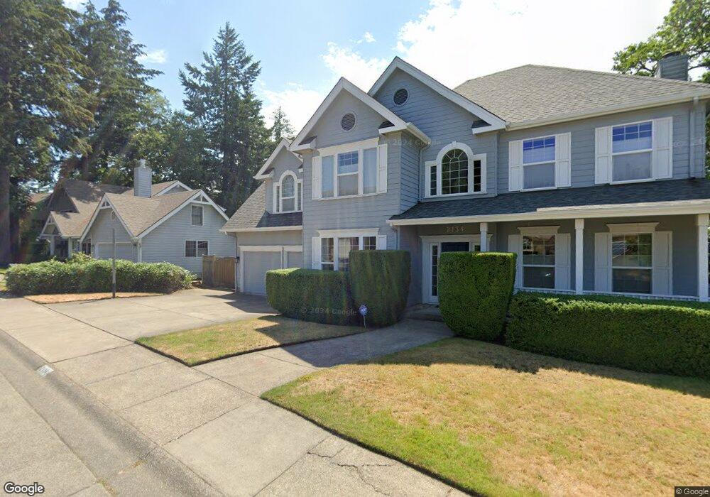
2134 Kimberly Cir Eugene, OR 97405
Southeast Eugene NeighborhoodEstimated Value: $806,038 - $1,024,000
4
Beds
3
Baths
2,650
Sq Ft
$348/Sq Ft
Est. Value
About This Home
This home is located at 2134 Kimberly Cir, Eugene, OR 97405 and is currently estimated at $921,010, approximately $347 per square foot. 2134 Kimberly Cir is a home located in Lane County with nearby schools including Camas Ridge Community Elementary School, Roosevelt Middle School, and South Eugene High School.
Ownership History
Date
Name
Owned For
Owner Type
Purchase Details
Closed on
May 21, 2014
Sold by
Greenfield Lawrence
Bought by
Ozdogan Davis and Seasonwein Johanna
Current Estimated Value
Home Financials for this Owner
Home Financials are based on the most recent Mortgage that was taken out on this home.
Original Mortgage
$330,000
Outstanding Balance
$94,050
Interest Rate
3.26%
Mortgage Type
New Conventional
Estimated Equity
$826,960
Purchase Details
Closed on
May 24, 2004
Sold by
Cagney Patricia L and Cagney James E
Bought by
Greenfield Lawrence
Home Financials for this Owner
Home Financials are based on the most recent Mortgage that was taken out on this home.
Original Mortgage
$331,700
Interest Rate
5.86%
Mortgage Type
Purchase Money Mortgage
Create a Home Valuation Report for This Property
The Home Valuation Report is an in-depth analysis detailing your home's value as well as a comparison with similar homes in the area
Home Values in the Area
Average Home Value in this Area
Purchase History
| Date | Buyer | Sale Price | Title Company |
|---|---|---|---|
| Ozdogan Davis | $482,500 | Western Title & Escrow Co | |
| Greenfield Lawrence | $423,000 | Western Pioneer Title Co |
Source: Public Records
Mortgage History
| Date | Status | Borrower | Loan Amount |
|---|---|---|---|
| Open | Ozdogan Davis | $330,000 | |
| Previous Owner | Greenfield Lawrence | $331,700 |
Source: Public Records
Tax History
| Year | Tax Paid | Tax Assessment Tax Assessment Total Assessment is a certain percentage of the fair market value that is determined by local assessors to be the total taxable value of land and additions on the property. | Land | Improvement |
|---|---|---|---|---|
| 2025 | $9,823 | $500,150 | -- | -- |
| 2024 | $9,690 | $485,583 | -- | -- |
| 2023 | $9,690 | $471,440 | $0 | $0 |
| 2022 | $9,082 | $457,709 | $0 | $0 |
| 2021 | $8,534 | $444,378 | $0 | $0 |
| 2020 | $8,258 | $431,435 | $0 | $0 |
| 2019 | $8,153 | $418,869 | $0 | $0 |
| 2018 | $7,605 | $394,824 | $0 | $0 |
| 2017 | $7,227 | $394,824 | $0 | $0 |
| 2016 | $6,777 | $383,324 | $0 | $0 |
| 2015 | $6,604 | $372,159 | $0 | $0 |
| 2014 | $6,441 | $361,319 | $0 | $0 |
Source: Public Records
Map
Nearby Homes
- 2040 Dogwood Dr
- 1996 Kimberly Dr
- 3574 Spring Blvd
- 2082 Golfview Ct
- 3283 Stoney Ridge Rd
- 3945 Spring Blvd
- 2984 Floral Hill Dr
- 3010 Hendricks Hill Dr
- 2694 Cupola Dr Unit 21
- 2662 Cupola Dr Unit 31
- 0 Capital Dr
- 2825 2819 Capital Dr Unit 18, 19
- 2645 Cupola Dr Unit 13
- 1820 E 28th Ave
- 2639 Cupola Dr Unit 12
- 3605 Emerald St
- 2969 Capital Dr
- 2620 Cupola Dr Unit 27
- 2629 Cupola Dr Unit 10
- 2985 Capital Dr Unit 3
- 2126 Kimberly Cir
- 2138 Kimberly Cir
- 2137 Kimberly Cir
- 2125 Kimberly Cir
- 2122 Kimberly Cir
- 2142 Kimberly Cir
- 2155 Kimberly Cir
- 2121 Kimberly Cir
- 2133 Kimberly Cir
- 0 Kimberly Cir Unit 11381169
- 0 Kimberly Cir Unit 8023803
- 0 Kimberly Cir Unit 8114147
- 0 Kimberly Cir Unit 4 10044456
- 0 Kimberly Cir
- 2100 Kimberly Cir
- 2146 Kimberly Cir
- 2178 Kimberly Cir
- 2186 Kimberly Cir
- 2110 Kimberly Cir
- 2174 Kimberly Cir
Your Personal Tour Guide
Ask me questions while you tour the home.