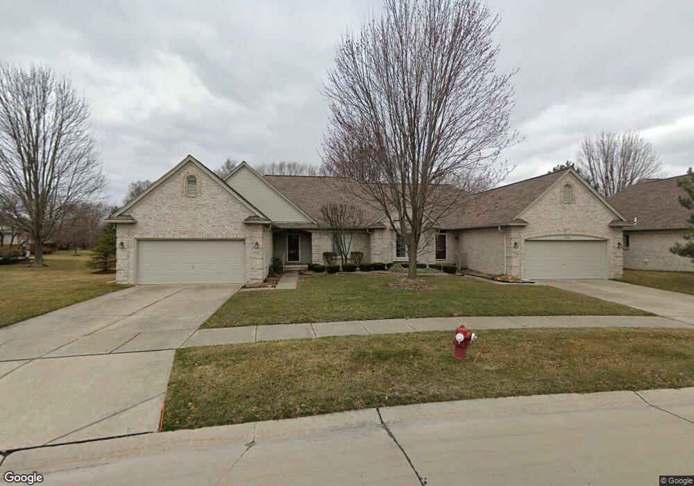
2135 Avalon Dr Unit 72 Sterling Heights, MI 48310
Estimated Value: $342,000 - $393,000
2
Beds
2
Baths
1,519
Sq Ft
$239/Sq Ft
Est. Value
About This Home
This home is located at 2135 Avalon Dr Unit 72, Sterling Heights, MI 48310 and is currently estimated at $363,607, approximately $239 per square foot. 2135 Avalon Dr Unit 72 is a home located in Macomb County with nearby schools including Schuchard Elementary School, Frank Jeannette Junior High School, and Adlai Stevenson High School.
Ownership History
Date
Name
Owned For
Owner Type
Purchase Details
Closed on
Oct 4, 2022
Sold by
Waggy Amal S
Bought by
Waggy Amal S
Current Estimated Value
Purchase Details
Closed on
Sep 24, 2009
Sold by
Garwood Charlene and Blair Nancy S
Bought by
Waggy Guy P and Waggy Amal S
Purchase Details
Closed on
Jul 14, 2004
Sold by
Garwood Charlene and The Charlene Garwood Trust
Bought by
Garwood Charlene
Purchase Details
Closed on
Feb 16, 2001
Sold by
Awc Cueter Inc
Bought by
Garwood Charlene
Create a Home Valuation Report for This Property
The Home Valuation Report is an in-depth analysis detailing your home's value as well as a comparison with similar homes in the area
Home Values in the Area
Average Home Value in this Area
Purchase History
| Date | Buyer | Sale Price | Title Company |
|---|---|---|---|
| Waggy Amal S | -- | -- | |
| Waggy Amal S | -- | None Listed On Document | |
| Waggy Guy P | $145,500 | None Available | |
| Garwood Charlene | -- | Great Lakes Title Of Mi | |
| Garwood Charlene | $229,900 | -- |
Source: Public Records
Tax History Compared to Growth
Tax History
| Year | Tax Paid | Tax Assessment Tax Assessment Total Assessment is a certain percentage of the fair market value that is determined by local assessors to be the total taxable value of land and additions on the property. | Land | Improvement |
|---|---|---|---|---|
| 2025 | $3,421 | $158,500 | $0 | $0 |
| 2024 | $3,128 | $149,200 | $0 | $0 |
| 2023 | $2,953 | $140,500 | $0 | $0 |
| 2022 | $3,079 | $130,400 | $0 | $0 |
| 2021 | $3,015 | $130,200 | $0 | $0 |
| 2020 | $2,689 | $124,400 | $0 | $0 |
| 2019 | $2,755 | $110,700 | $0 | $0 |
| 2018 | $2,786 | $106,800 | $0 | $0 |
| 2017 | $2,662 | $110,000 | $13,800 | $96,200 |
| 2016 | $2,572 | $110,000 | $0 | $0 |
| 2015 | -- | $103,600 | $0 | $0 |
| 2014 | -- | $75,400 | $0 | $0 |
Source: Public Records
Map
Nearby Homes
- 39588 Dequindre Rd
- 2833 Bywater Dr
- 2700 Renshaw Dr
- 39560 Dequindre Rd
- 2648 Ormsby Dr
- 2233 Mellowood Dr
- 2503 Westmont Cir
- 2664 Kenwyck Dr
- 2238 Nadine Dr
- 4714 Butler Dr
- 41395 Ambercrest Dr
- 5238 Windmill Dr
- 2336 Heritage Pointe Dr Unit 17
- 39327 Timberlane Dr
- 41466 Dequindre Rd
- 5092 Julian Dr
- 3514 Bates Dr
- 2734 E Wattles Rd
- 41599 Red Oak Dr
- 4147 Greensboro Dr
- 2129 Avalon Dr
- 2087 Avalon Dr
- 2151 Avalon Dr Unit 70
- 2065 Avalon Dr
- 2141 Avalon Dr Unit 71
- 2011 Avalon Dr Unit 77
- 2033 Avalon Dr
- 2134 Avalon Dr
- 2142 Avalon Dr
- 2142 Avalon Dr Unit 14
- 2157 Avalon Dr
- 2167 Avalon Dr
- 2126 Avalon Dr
- 2150 Avalon Dr Unit 8, 15
- 2150 Avalon Dr
- 2150 Avalon Dr Unit 15
- 2158 Avalon Dr Unit 16
- 40093 Streamwood Ct
- 40118 Streamwood Ct
- 2118 Avalon Dr